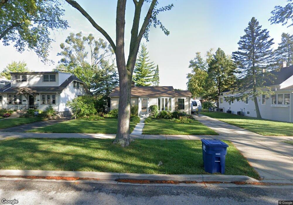
926 Walter Ave Des Plaines, IL 60016
Estimated Value: $254,693 - $348,000
2
Beds
1
Bath
583
Sq Ft
$522/Sq Ft
Est. Value
About This Home
This home is located at 926 Walter Ave, Des Plaines, IL 60016 and is currently estimated at $304,423, approximately $522 per square foot. 926 Walter Ave is a home located in Cook County with nearby schools including Forest Elementary School, Algonquin Middle School, and Maine West High School.
Ownership History
Date
Name
Owned For
Owner Type
Purchase Details
Closed on
Apr 30, 2009
Sold by
Pischke Rose L
Bought by
Dawiskiba Piotr and Dawiskiba Jolanta
Current Estimated Value
Home Financials for this Owner
Home Financials are based on the most recent Mortgage that was taken out on this home.
Original Mortgage
$158,000
Outstanding Balance
$99,828
Interest Rate
4.85%
Mortgage Type
Unknown
Estimated Equity
$204,595
Purchase Details
Closed on
Oct 20, 1998
Sold by
Pischke Martin A and Pischke Rose L
Bought by
Pischke Rose L and Rose L Pischke Trust
Create a Home Valuation Report for This Property
The Home Valuation Report is an in-depth analysis detailing your home's value as well as a comparison with similar homes in the area
Home Values in the Area
Average Home Value in this Area
Purchase History
| Date | Buyer | Sale Price | Title Company |
|---|---|---|---|
| Dawiskiba Piotr | $197,500 | Attorneys Title Guaranty Fun | |
| Pischke Rose L | -- | -- |
Source: Public Records
Mortgage History
| Date | Status | Borrower | Loan Amount |
|---|---|---|---|
| Open | Dawiskiba Piotr | $158,000 |
Source: Public Records
Tax History Compared to Growth
Tax History
| Year | Tax Paid | Tax Assessment Tax Assessment Total Assessment is a certain percentage of the fair market value that is determined by local assessors to be the total taxable value of land and additions on the property. | Land | Improvement |
|---|---|---|---|---|
| 2024 | $3,810 | $17,765 | $6,390 | $11,375 |
| 2023 | $4,333 | $17,765 | $6,390 | $11,375 |
| 2022 | $4,333 | $20,258 | $6,390 | $13,868 |
| 2021 | $3,180 | $13,675 | $5,112 | $8,563 |
| 2020 | $3,195 | $13,675 | $5,112 | $8,563 |
| 2019 | $3,360 | $15,915 | $5,112 | $10,803 |
| 2018 | $2,915 | $13,183 | $4,473 | $8,710 |
| 2017 | $3,053 | $13,766 | $4,473 | $9,293 |
| 2016 | $3,353 | $14,564 | $4,473 | $10,091 |
| 2015 | $3,108 | $12,905 | $3,834 | $9,071 |
| 2014 | $3,690 | $15,036 | $3,834 | $11,202 |
| 2013 | $3,580 | $15,036 | $3,834 | $11,202 |
Source: Public Records
Map
Nearby Homes
- 886 E Thacker St
- 879 North Ave
- 514 S 4th Ave
- 1057 Hollywood Ave
- 881 E Thacker St
- 648 1st Ave
- 890 North Ave
- 714 E Thacker St
- 858 E Grant Dr
- 911 E Villa Dr
- 390 S Western Ave Unit 604
- 370 S Western Ave Unit 505
- 1258 Brown St Unit 302
- 915 Graceland Ave Unit 1E
- 799 Graceland Ave Unit 504A
- 508 Crestwood Dr
- 520 E Thacker St
- 1353 Perry St Unit 6
- 1279 Harding Ave Unit 3D
- 1056 E Villa Dr
- 916 Walter Ave
- 936 Walter Ave
- 908 Walter Ave
- 946 Walter Ave
- 923 Greenview Ave
- 925 Greenview Ave
- 915 Greenview Ave
- 935 Greenview Ave
- 905 Greenview Ave
- 941 Greenview Ave
- 954 Walter Ave
- 929 Walter Ave
- 919 Walter Ave
- 935 Walter Ave
- 894 Walter Ave
- 949 Greenview Ave
- 905 Walter Ave
- 943 Walter Ave
- 885 Greenview Ave
- 957 Greenview Ave