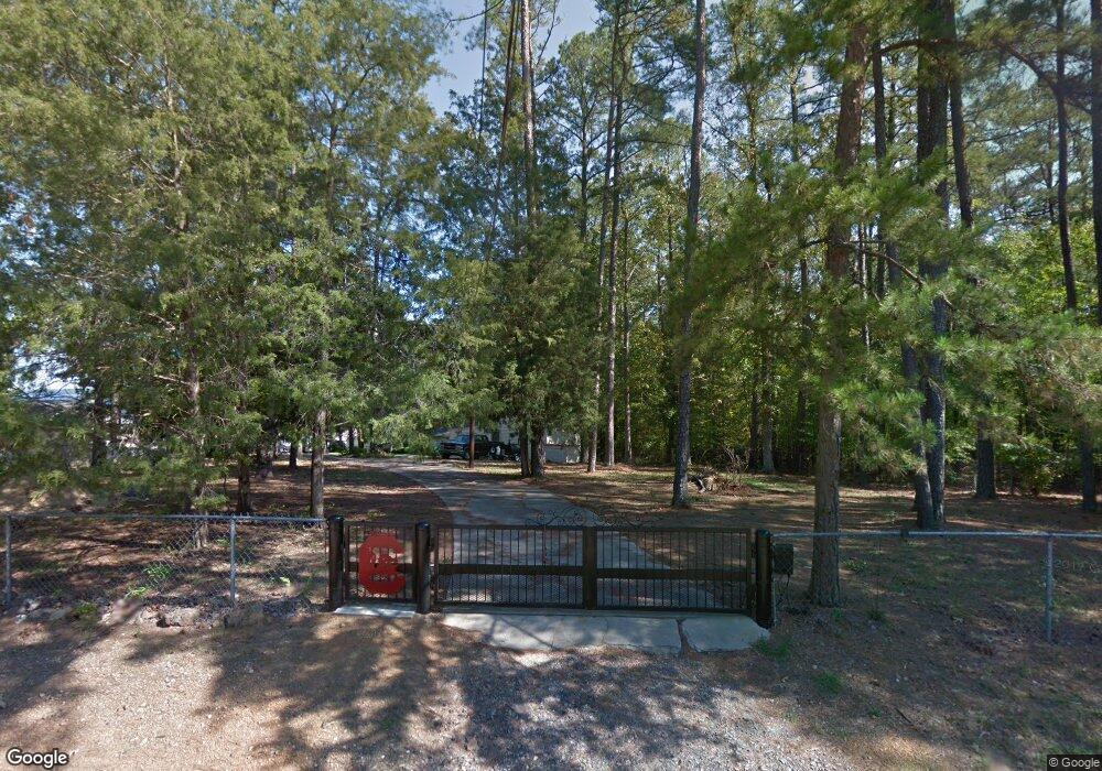
926 Wildwood Cir Leesville, SC 29070
Estimated Value: $428,000 - $687,000
2
Beds
2
Baths
1,328
Sq Ft
$392/Sq Ft
Est. Value
About This Home
This home is located at 926 Wildwood Cir, Leesville, SC 29070 and is currently estimated at $520,718, approximately $392 per square foot. 926 Wildwood Cir is a home with nearby schools including Batesburg-Leesville Primary School, Batesburg-Leesville Elementary School, and Batesburg-Leesville Middle School.
Ownership History
Date
Name
Owned For
Owner Type
Purchase Details
Closed on
Nov 19, 2021
Sold by
Kittrell Debra Lee
Bought by
Newton Benjamin and Newton Tammy
Current Estimated Value
Home Financials for this Owner
Home Financials are based on the most recent Mortgage that was taken out on this home.
Original Mortgage
$300,000
Interest Rate
2.99%
Mortgage Type
Seller Take Back
Purchase Details
Closed on
May 15, 2014
Sold by
Estate Of Tony Elmo Dallis and Kittrell Dbera Lee
Bought by
Kittrell Debra Lee
Purchase Details
Closed on
Jan 29, 2007
Sold by
Dallis Tony E
Bought by
Dallis Tony E
Create a Home Valuation Report for This Property
The Home Valuation Report is an in-depth analysis detailing your home's value as well as a comparison with similar homes in the area
Home Values in the Area
Average Home Value in this Area
Purchase History
| Date | Buyer | Sale Price | Title Company |
|---|---|---|---|
| Newton Benjamin | $300,000 | None Available | |
| Kittrell Debra Lee | -- | -- | |
| Dallis Tony E | -- | None Available |
Source: Public Records
Mortgage History
| Date | Status | Borrower | Loan Amount |
|---|---|---|---|
| Closed | Newton Benjamin | $300,000 |
Source: Public Records
Tax History Compared to Growth
Tax History
| Year | Tax Paid | Tax Assessment Tax Assessment Total Assessment is a certain percentage of the fair market value that is determined by local assessors to be the total taxable value of land and additions on the property. | Land | Improvement |
|---|---|---|---|---|
| 2024 | $1,832 | $12,000 | $7,600 | $4,400 |
| 2023 | $1,832 | $12,000 | $7,600 | $4,400 |
| 2022 | $1,834 | $12,000 | $7,600 | $4,400 |
| 2020 | $5,590 | $13,532 | $9,484 | $4,048 |
| 2019 | $5,098 | $11,767 | $7,200 | $4,567 |
| 2018 | $5,034 | $11,767 | $7,200 | $4,567 |
| 2017 | $4,902 | $11,767 | $7,200 | $4,567 |
| 2016 | $4,573 | $11,766 | $7,200 | $4,566 |
| 2014 | $407 | $7,080 | $4,140 | $2,940 |
| 2013 | -- | $7,080 | $4,140 | $2,940 |
Source: Public Records
Map
Nearby Homes
- 920 Wildwood Cir
- 0 Wildwood Cir Unit 611605
- 758 Caughman Point
- 1356 Peninsula Dr
- 412 State Road S-32-1427
- 1694 Wildwood Cove Rd
- 406 State Road S-32-1427
- 400 Disher Dr
- 1115 Peninsula Dr
- 895 Peninsula Dr
- 507 Chalet Rd
- 488 Chalet Rd
- 0 Sturkie Ln
- 701 Peninsula Dr
- Lot 202 Peninsula Dr
- 97 Lake Point Dr
- 0 Langford Rd Unit 612505
- 447 Edgewater Dr
- 25 Plum Nelly Rd
- 0 Rock N Creek Rd Unit Lot 3 590102
- 930 Wildwood Cir
- 1511 Wildwood Point
- 30 Wildwood Cir
- 936 Wildwood Cir
- 1515 Wildwood Point
- 1519 Wildwood Point
- 942 Wildwood Cir
- 1527 Wildwood Point
- 946 Wildwood Cir
- 956 Wildwood Cir
- 1508 Wildwood Point
- 1010 Wildwood Cir
- 1520 Wildwood Point
- 1524 Wildwood Point
- 1528 Wildwood Point
- 916 Wildwood Cir
- 1536 Wildwood Point
- 1405 Wildwood Ct
- 42 Wildwood Cir
- 1411 Wildwood Ct
