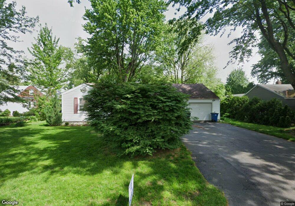
926 Wilson Dr Bowling Green, OH 43402
Estimated Value: $200,640 - $230,000
3
Beds
2
Baths
1,246
Sq Ft
$174/Sq Ft
Est. Value
About This Home
This home is located at 926 Wilson Dr, Bowling Green, OH 43402 and is currently estimated at $216,910, approximately $174 per square foot. 926 Wilson Dr is a home located in Wood County with nearby schools including Bowling Green High School, Montessori School Of Bowling Green, and Bowling Green Christian Academy.
Ownership History
Date
Name
Owned For
Owner Type
Purchase Details
Closed on
Apr 9, 2021
Sold by
Powers Edward L
Bought by
Manhattan Llc
Current Estimated Value
Purchase Details
Closed on
Nov 25, 2020
Sold by
Richard E Powers Revocable Trust
Bought by
Powers Edward and Powers Edward L
Purchase Details
Closed on
Aug 30, 2017
Sold by
Powers Richard E Trustee
Bought by
Powers Edward L Successor Trustee
Purchase Details
Closed on
Aug 20, 2008
Sold by
Powers Richard E
Bought by
Powers Richard E and The Richard E Powers Revocable Living Tr
Purchase Details
Closed on
Jul 6, 2007
Sold by
Powers Richard E and Powers Eleanore L
Bought by
Powers Richard E and Powers Eleanore L
Purchase Details
Closed on
Jan 1, 1990
Bought by
Powers Richard E
Create a Home Valuation Report for This Property
The Home Valuation Report is an in-depth analysis detailing your home's value as well as a comparison with similar homes in the area
Home Values in the Area
Average Home Value in this Area
Purchase History
| Date | Buyer | Sale Price | Title Company |
|---|---|---|---|
| Manhattan Llc | -- | None Available | |
| Powers Edward | -- | None Available | |
| Powers Edward L Successor Trustee | -- | -- | |
| Powers Richard E | -- | Attorney | |
| Powers Richard E | -- | Attorney | |
| Powers Richard E | -- | -- |
Source: Public Records
Tax History Compared to Growth
Tax History
| Year | Tax Paid | Tax Assessment Tax Assessment Total Assessment is a certain percentage of the fair market value that is determined by local assessors to be the total taxable value of land and additions on the property. | Land | Improvement |
|---|---|---|---|---|
| 2024 | $2,401 | $54,460 | $11,480 | $42,980 |
| 2023 | $2,401 | $54,460 | $11,480 | $42,980 |
| 2021 | $2,007 | $45,230 | $10,750 | $34,480 |
| 2020 | $2,013 | $45,230 | $10,750 | $34,480 |
| 2019 | $188 | $40,220 | $10,750 | $29,470 |
| 2018 | $1,868 | $40,220 | $10,750 | $29,470 |
| 2017 | $600 | $40,220 | $10,750 | $29,470 |
| 2016 | $1,181 | $34,620 | $10,750 | $23,870 |
| 2015 | $1,181 | $34,620 | $10,750 | $23,870 |
| 2014 | $1,216 | $34,620 | $10,750 | $23,870 |
| 2013 | $1,308 | $34,620 | $10,750 | $23,870 |
Source: Public Records
Map
Nearby Homes
- 893 W Wooster St
- 847 Pearl St
- 219 Winfield Dr
- 1103 Pearl St
- 0 Haskins Rd Unit 6132516
- 1024 Clark St
- 519 Knollwood Dr
- 545 Wallace Ave
- 1321 Charles St
- 94 Summerfield Blvd Unit 832
- 54 Foxgate Cir E Unit 1350
- 1326 Pine Valley Dr
- 1054 Bourgogne Ave
- 1403 Sheffield Dr
- 210 W Wooster St
- 1362 Conneaut Ave
- 448 S Church St
- 614 Pasteur Ave
- 707 W Poe Rd
- 29 Darlyn Dr
- 924 Wilson Dr
- 985 W Wooster St
- 975 W Wooster St
- 1236 W Wooster St
- 927 Wilson Dr
- 971 W Wooster St
- 931 Wilson Dr
- 923 Wilson Dr
- 920 Wilson Dr
- 965 W Wooster St
- 919 Wilson Dr
- 928 Sunset Dr
- 1011 W Wooster St
- 215 Western Ave
- 922 Sunset Dr
- 910 Wilson Dr
- 212 Western Ave
- 918 Sunset Dr
- 915 Wilson Dr
- 945 W Wooster St