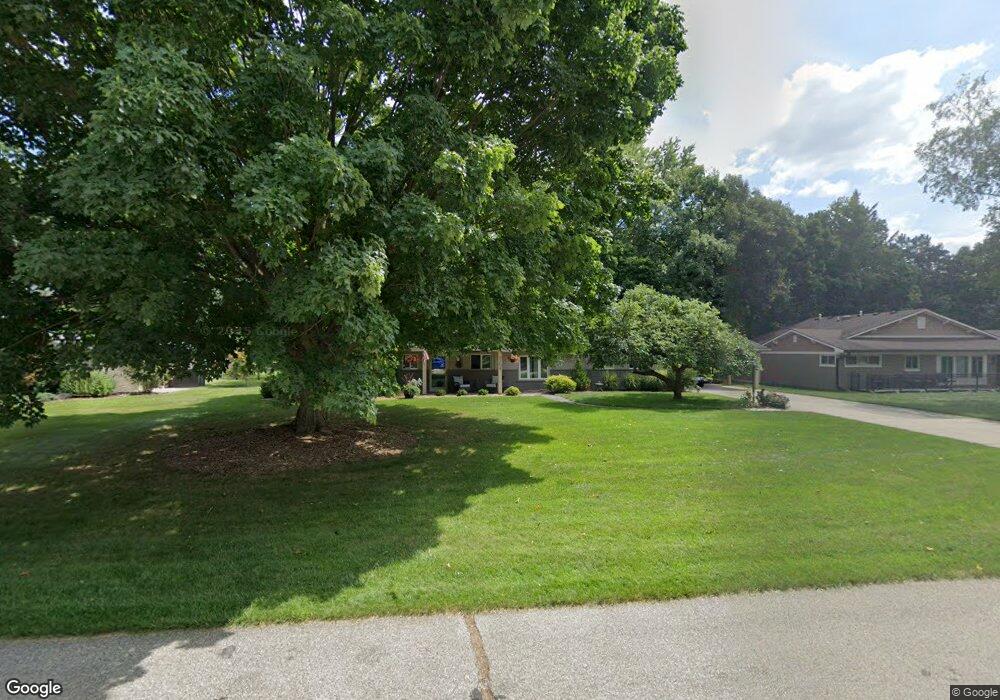
9264 Morrison Ave Plymouth, MI 48170
Estimated Value: $410,000 - $433,000
--
Bed
2
Baths
1,691
Sq Ft
$249/Sq Ft
Est. Value
About This Home
This home is located at 9264 Morrison Ave, Plymouth, MI 48170 and is currently estimated at $421,798, approximately $249 per square foot. 9264 Morrison Ave is a home located in Wayne County with nearby schools including Canton High School, Smith Elementary School, and East Middle School.
Ownership History
Date
Name
Owned For
Owner Type
Purchase Details
Closed on
Jan 29, 2015
Sold by
Flaherty Patricia
Bought by
Flaberty Thomas and Flaberty Patricia
Current Estimated Value
Purchase Details
Closed on
Dec 12, 2005
Sold by
Mcintosh Patricia and Mcintosh Dale J
Bought by
Mcintosh Patricia
Home Financials for this Owner
Home Financials are based on the most recent Mortgage that was taken out on this home.
Original Mortgage
$140,000
Interest Rate
6.46%
Mortgage Type
Fannie Mae Freddie Mac
Purchase Details
Closed on
Apr 17, 1998
Sold by
Sandra June M Hammond
Bought by
Mcintosh Dale J
Create a Home Valuation Report for This Property
The Home Valuation Report is an in-depth analysis detailing your home's value as well as a comparison with similar homes in the area
Home Values in the Area
Average Home Value in this Area
Purchase History
| Date | Buyer | Sale Price | Title Company |
|---|---|---|---|
| Flaberty Thomas | -- | None Available | |
| Mcintosh Patricia | -- | Pioneer Title Services | |
| Mcintosh Dale J | $159,000 | -- |
Source: Public Records
Mortgage History
| Date | Status | Borrower | Loan Amount |
|---|---|---|---|
| Previous Owner | Mcintosh Patricia | $140,000 |
Source: Public Records
Tax History Compared to Growth
Tax History
| Year | Tax Paid | Tax Assessment Tax Assessment Total Assessment is a certain percentage of the fair market value that is determined by local assessors to be the total taxable value of land and additions on the property. | Land | Improvement |
|---|---|---|---|---|
| 2025 | $3,133 | $187,600 | $0 | $0 |
| 2024 | $3,133 | $183,400 | $0 | $0 |
| 2023 | $2,985 | $157,600 | $0 | $0 |
| 2022 | $3,967 | $148,000 | $0 | $0 |
| 2021 | $3,849 | $144,600 | $0 | $0 |
| 2019 | $3,735 | $138,590 | $0 | $0 |
| 2018 | $2,554 | $127,550 | $0 | $0 |
| 2017 | $1,783 | $44,900 | $0 | $0 |
| 2016 | $3,342 | $119,500 | $0 | $0 |
| 2015 | $10,694 | $109,970 | $0 | $0 |
| 2013 | $10,361 | $107,420 | $0 | $0 |
| 2012 | -- | $104,530 | $35,330 | $69,200 |
Source: Public Records
Map
Nearby Homes
- 9205 Rocker Ave
- 9191 Redbud Ave
- 685 Ross St
- 9405 Northern Ave
- 844 Ross St
- 1338 S Harvey St
- 8830 Northern Ave
- 1078 Simpson St
- 8834 Northern Ave
- 8845 Oakview St
- 775 Deer Ct Unit 104
- 8880 Elmhurst Ave
- 9230 Brookline Ave
- 9264 Brookline Ave
- Sanders Plan at The Towns at Plymouth Walk
- Howe Elite Plan at The Towns at Plymouth Walk
- Howe Plan at The Towns at Plymouth Walk
- Sanders Elite Plan at The Towns at Plymouth Walk
- 1125 Sutherland St
- 9453 Brookline Ave
- 9244 Morrison Ave
- 9284 Morrison Ave
- 9224 Morrison Ave
- 9243 Morrison Ave
- 9283 Morrison Ave
- 9204 Morrison Ave
- 9223 Morrison Ave
- 42760 Judson Ave
- 9324 Morrison Ave
- 9303 Morrison Ave
- 9263 Morrison Ave
- 42754 Judson Ave
- 42740 Judson Ave
- 42724 Judson Ave
- 9284 Rocker Ave
- 9323 Morrison Ave
- 9344 Morrison Ave
- 9264 Rocker Ave
- 9110 Morrison Ave
- 9203 Morrison Ave