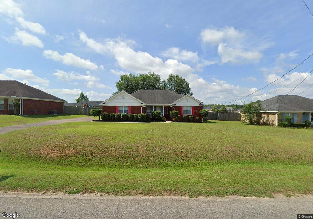
9265 Scott Dairy Loop Rd S Mobile, AL 36695
Dawes NeighborhoodEstimated Value: $249,030 - $273,000
3
Beds
2
Baths
1,818
Sq Ft
$144/Sq Ft
Est. Value
About This Home
This home is located at 9265 Scott Dairy Loop Rd S, Mobile, AL 36695 and is currently estimated at $261,508, approximately $143 per square foot. 9265 Scott Dairy Loop Rd S is a home located in Mobile County with nearby schools including Hutchens Elementary School, Dawes Intermediate School, and Bernice J Causey Middle School.
Ownership History
Date
Name
Owned For
Owner Type
Purchase Details
Closed on
May 14, 2008
Sold by
Cannon Lynda F
Bought by
Foreman Carita Alisa
Current Estimated Value
Home Financials for this Owner
Home Financials are based on the most recent Mortgage that was taken out on this home.
Original Mortgage
$169,515
Outstanding Balance
$107,241
Interest Rate
5.86%
Mortgage Type
FHA
Estimated Equity
$154,267
Purchase Details
Closed on
Feb 26, 2001
Sold by
Thomas Rheda and Driskell Rheda E
Bought by
Cannon Lynda F
Home Financials for this Owner
Home Financials are based on the most recent Mortgage that was taken out on this home.
Original Mortgage
$93,600
Interest Rate
7.06%
Create a Home Valuation Report for This Property
The Home Valuation Report is an in-depth analysis detailing your home's value as well as a comparison with similar homes in the area
Home Values in the Area
Average Home Value in this Area
Purchase History
| Date | Buyer | Sale Price | Title Company |
|---|---|---|---|
| Foreman Carita Alisa | $172,175 | None Available | |
| Cannon Lynda F | $117,000 | Surety Land Title Inc |
Source: Public Records
Mortgage History
| Date | Status | Borrower | Loan Amount |
|---|---|---|---|
| Open | Foreman Carita Alisa | $169,515 | |
| Previous Owner | Cannon Lynda F | $93,600 |
Source: Public Records
Tax History Compared to Growth
Tax History
| Year | Tax Paid | Tax Assessment Tax Assessment Total Assessment is a certain percentage of the fair market value that is determined by local assessors to be the total taxable value of land and additions on the property. | Land | Improvement |
|---|---|---|---|---|
| 2024 | $1,010 | $19,030 | $3,200 | $15,830 |
| 2023 | $976 | $17,090 | $4,000 | $13,090 |
| 2022 | $771 | $17,260 | $4,000 | $13,260 |
| 2021 | $686 | $15,520 | $3,200 | $12,320 |
| 2020 | $694 | $15,700 | $3,200 | $12,500 |
| 2019 | $672 | $15,230 | $3,500 | $11,730 |
| 2018 | $680 | $15,400 | $0 | $0 |
| 2017 | $680 | $15,400 | $0 | $0 |
| 2016 | $813 | $18,140 | $0 | $0 |
| 2013 | $743 | $16,380 | $0 | $0 |
Source: Public Records
Map
Nearby Homes
- 0 Mcfarland Rd Unit 380899
- 0 Mcfarland Rd Unit 7600050
- 3345 Hartsfield Way E
- 3315 Hartsfield Way E
- 3582 Magnolia Downs E
- 3330 Woodward Dr
- 3658 Dawes Rd
- 9500 Scott Dairy Loop Rd S
- 2535 Arbordale Loop
- 9085 Johnson Rd S
- 3376 Gracie Ln
- 9581 Estate Dr
- 9206 Champion Hills Cove
- 9100 Johnson Rd S
- 9424 Johnson Rd S
- 3560 Arlington Oaks Dr
- 9497 Labrador Run S
- 9652 Misty Leaf Dr N
- 3955 Champion Cir W
- 9457 Labrador Run S Unit 2
- 9255 Scott Dairy Loop Rd S
- 9275 Scott Dairy Loop Rd S
- 9260 McFarland Trace Dr
- 9250 McFarland Trace Dr
- 9270 McFarland Trace Dr
- 9245 Scott Dairy Loop Rd S
- 9285 Scott Dairy Loop Rd S
- 9280 McFarland Trace Dr
- 9240 McFarland Trace Dr
- 9260 Scott Dairy Loop Rd S
- 9235 Scott Dairy Loop Rd S
- 9290 McFarland Trace Dr
- 9280 Scott Dairy Loop Rd S
- 9305 Scott Dairy Loop Rd S
- 9261 McFarland Trace Dr
- 9230 McFarland Trace Dr
- 9271 McFarland Trace Dr
- 9240 Scott Dairy Loop Rd S
- 3500 Mcfarland Rd
- 9310 Scott Dairy Loop Rd S