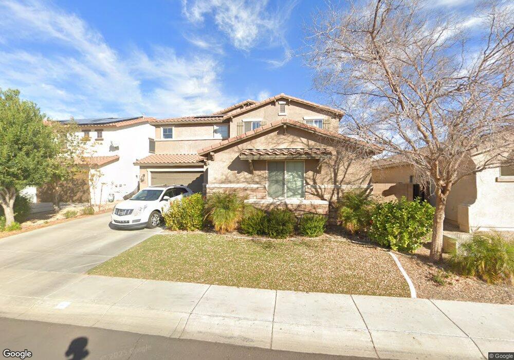
9268 W Black Hill Rd Peoria, AZ 85383
Estimated Value: $640,000 - $667,000
--
Bed
5
Baths
3,479
Sq Ft
$187/Sq Ft
Est. Value
About This Home
This home is located at 9268 W Black Hill Rd, Peoria, AZ 85383 and is currently estimated at $649,389, approximately $186 per square foot. 9268 W Black Hill Rd is a home located in Maricopa County with nearby schools including West Wing Elementary School, Mountain Ridge High School, and BASIS Peoria Primary.
Ownership History
Date
Name
Owned For
Owner Type
Purchase Details
Closed on
Jun 27, 2007
Sold by
Centex Homes
Bought by
Farr Jeffrey T and Farr Crystal D
Current Estimated Value
Home Financials for this Owner
Home Financials are based on the most recent Mortgage that was taken out on this home.
Original Mortgage
$290,112
Outstanding Balance
$178,565
Interest Rate
6.21%
Mortgage Type
New Conventional
Estimated Equity
$470,824
Create a Home Valuation Report for This Property
The Home Valuation Report is an in-depth analysis detailing your home's value as well as a comparison with similar homes in the area
Home Values in the Area
Average Home Value in this Area
Purchase History
| Date | Buyer | Sale Price | Title Company |
|---|---|---|---|
| Farr Jeffrey T | $362,640 | Commerce Title Company |
Source: Public Records
Mortgage History
| Date | Status | Borrower | Loan Amount |
|---|---|---|---|
| Open | Farr Jeffrey T | $290,112 |
Source: Public Records
Tax History Compared to Growth
Tax History
| Year | Tax Paid | Tax Assessment Tax Assessment Total Assessment is a certain percentage of the fair market value that is determined by local assessors to be the total taxable value of land and additions on the property. | Land | Improvement |
|---|---|---|---|---|
| 2025 | $3,137 | $38,192 | -- | -- |
| 2024 | $3,054 | $36,373 | -- | -- |
| 2023 | $3,054 | $46,000 | $9,200 | $36,800 |
| 2022 | $2,939 | $35,230 | $7,040 | $28,190 |
| 2021 | $3,085 | $33,350 | $6,670 | $26,680 |
| 2020 | $3,034 | $31,480 | $6,290 | $25,190 |
| 2019 | $2,947 | $29,660 | $5,930 | $23,730 |
| 2018 | $2,823 | $29,670 | $5,930 | $23,740 |
| 2017 | $2,727 | $28,000 | $5,600 | $22,400 |
| 2016 | $2,568 | $29,620 | $5,920 | $23,700 |
| 2015 | $2,366 | $28,550 | $5,710 | $22,840 |
Source: Public Records
Map
Nearby Homes
- 9275 W Plum Rd
- 9185 W Mine Trail
- 9165 W Mine Trail
- 9347 W Plum Rd
- 28001 N 92nd Ave
- 9258 W White Feather Ln
- 27344 N 91st Ln
- 9012 W Yellow Bird Ln
- 9238 W Buckhorn Trail
- 28136 N 90th Ln
- 9503 W Blue Sky Dr Unit 2
- 9010 W Eagle Talon Dr
- 27490 N Higuera Dr
- 27486 N 89th Dr
- 9547 W Bent Tree Dr
- 9156 W Bajada Rd
- 28286 N 89th Dr Unit 35
- 9324 W Molly Ln
- 9058 W Redbird Rd
- 9015 W Roberta Ln
- 9278 W Black Hill Rd
- 9258 W Black Hill Rd
- 9248 W Black Hill Rd
- 9267 W Black Hill Rd
- 9238 W Black Hill Rd
- 9257 W Black Hill Rd
- 9241 W Plum Rd
- 9247 W Black Hill Rd
- 9233 W Plum Rd
- 9251 W Plum Rd
- 9228 W Black Hill Rd
- 9276 W Mine Trail
- 9259 W Plum Rd
- 9280 W Mine Trail
- 27855 N 92nd Dr
- 9266 W Mine Trail
- 9256 W Mine Trail
- 9227 W Black Hill Rd
- 9222 W Black Hill Rd
- 9246 W Mine Trail