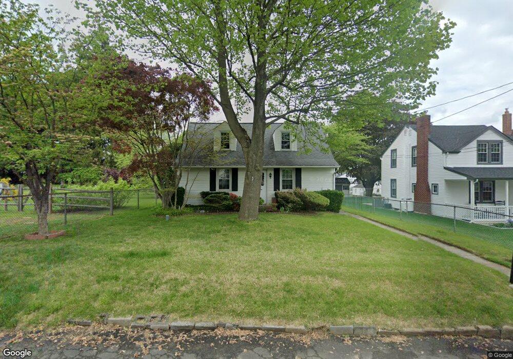
927 Avenue D Langhorne, PA 19047
Estimated Value: $352,000 - $396,000
3
Beds
2
Baths
1,267
Sq Ft
$303/Sq Ft
Est. Value
About This Home
This home is located at 927 Avenue D, Langhorne, PA 19047 and is currently estimated at $383,429, approximately $302 per square foot. 927 Avenue D is a home located in Bucks County with nearby schools including Hoover Elementary School, Maple Point Middle School, and Neshaminy High School.
Ownership History
Date
Name
Owned For
Owner Type
Purchase Details
Closed on
Jan 30, 2003
Sold by
Adams Janet C
Bought by
Marshall James
Current Estimated Value
Home Financials for this Owner
Home Financials are based on the most recent Mortgage that was taken out on this home.
Original Mortgage
$138,900
Interest Rate
5.91%
Mortgage Type
Purchase Money Mortgage
Purchase Details
Closed on
Aug 24, 1970
Bought by
Adams Gordon H and Adams Janet C
Create a Home Valuation Report for This Property
The Home Valuation Report is an in-depth analysis detailing your home's value as well as a comparison with similar homes in the area
Home Values in the Area
Average Home Value in this Area
Purchase History
| Date | Buyer | Sale Price | Title Company |
|---|---|---|---|
| Marshall James | $178,900 | -- | |
| Adams Gordon H | -- | -- |
Source: Public Records
Mortgage History
| Date | Status | Borrower | Loan Amount |
|---|---|---|---|
| Previous Owner | Marshall James | $138,900 |
Source: Public Records
Tax History Compared to Growth
Tax History
| Year | Tax Paid | Tax Assessment Tax Assessment Total Assessment is a certain percentage of the fair market value that is determined by local assessors to be the total taxable value of land and additions on the property. | Land | Improvement |
|---|---|---|---|---|
| 2025 | $4,267 | $19,600 | $3,320 | $16,280 |
| 2024 | $4,267 | $19,600 | $3,320 | $16,280 |
| 2023 | $4,199 | $19,600 | $3,320 | $16,280 |
| 2022 | $4,089 | $19,600 | $3,320 | $16,280 |
| 2021 | $4,089 | $19,600 | $3,320 | $16,280 |
| 2020 | $4,040 | $19,600 | $3,320 | $16,280 |
| 2019 | $3,950 | $19,600 | $3,320 | $16,280 |
| 2018 | $3,877 | $19,600 | $3,320 | $16,280 |
| 2017 | $3,778 | $19,600 | $3,320 | $16,280 |
| 2016 | $3,778 | $19,600 | $3,320 | $16,280 |
| 2015 | $3,968 | $19,600 | $3,320 | $16,280 |
| 2014 | $3,968 | $19,600 | $3,320 | $16,280 |
Source: Public Records
Map
Nearby Homes
- 2823 Avenue E
- 2816 Avenue E
- 1516 Fairview Ave
- 1314 Poplar St
- 1632 Winter Ave
- 751 Duxbury Dr
- 731 Highland Ave
- 710 Fox Ct
- 1605 Old Lincoln Hwy
- 801 E Parker St Unit B2
- 790 E Parker St Unit A1
- 565 Hulmeville Rd
- 6561 Neshaminy Valley Dr
- 523 Turtle Ln
- 6369 Powder Horn Ct
- 3351 Carroll Ct Unit S
- 5967 Griscomb Dr
- 409 Fairview Ave
- 56 W Lincoln Hwy
- 1210 Brownsville Rd