Estimated Value: $270,849 - $357,000
2
Beds
2
Baths
1,710
Sq Ft
$176/Sq Ft
Est. Value
About This Home
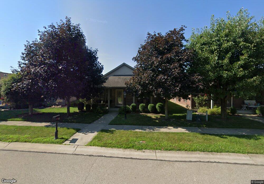
This home is located at 927 Cannondale Ave, Xenia, OH 45385 and is currently estimated at $300,712, approximately $175 per square foot. 927 Cannondale Ave is a home located in Greene County with nearby schools including Xenia High School, Summit Academy Community School for Alternative Learners - Xenia, and Legacy Christian Academy.
Ownership History
Date
Name
Owned For
Owner Type
Purchase Details
Closed on
Sep 27, 2005
Sold by
Be Am Co Inc
Bought by
Masters Michael J
Current Estimated Value
Home Financials for this Owner
Home Financials are based on the most recent Mortgage that was taken out on this home.
Original Mortgage
$116,692
Interest Rate
5.88%
Mortgage Type
Fannie Mae Freddie Mac
Create a Home Valuation Report for This Property
The Home Valuation Report is an in-depth analysis detailing your home's value as well as a comparison with similar homes in the area
Home Values in the Area
Average Home Value in this Area
Purchase History
| Date | Buyer | Sale Price | Title Company |
|---|---|---|---|
| Masters Michael J | $176,700 | Evans Title Agency Inc |
Source: Public Records
Mortgage History
| Date | Status | Borrower | Loan Amount |
|---|---|---|---|
| Closed | Masters Michael J | $116,692 |
Source: Public Records
Tax History Compared to Growth
Tax History
| Year | Tax Paid | Tax Assessment Tax Assessment Total Assessment is a certain percentage of the fair market value that is determined by local assessors to be the total taxable value of land and additions on the property. | Land | Improvement |
|---|---|---|---|---|
| 2024 | $2,792 | $76,770 | $10,500 | $66,270 |
| 2023 | $2,792 | $76,770 | $10,500 | $66,270 |
| 2022 | $2,427 | $58,370 | $7,000 | $51,370 |
| 2021 | $2,460 | $58,370 | $7,000 | $51,370 |
| 2020 | $2,354 | $58,370 | $7,000 | $51,370 |
| 2019 | $2,066 | $49,740 | $6,430 | $43,310 |
| 2018 | $2,074 | $49,740 | $6,430 | $43,310 |
| 2017 | $2,013 | $49,740 | $6,430 | $43,310 |
| 2016 | $1,911 | $45,840 | $6,430 | $39,410 |
| 2015 | $1,916 | $45,840 | $6,430 | $39,410 |
| 2014 | $1,833 | $45,840 | $6,430 | $39,410 |
Source: Public Records
Map
Nearby Homes
- 2223 Tandem Dr
- 2144 Tandem Dr
- 2096 High Wheel Dr
- 2540 Cornwall Dr
- 1881 Commonwealth Dr
- 2499 Jenny Marie Dr
- 2540 Jenny Marie Dr
- 2421 Louisiana Dr
- 0 Berkshire Dr Unit 942854
- 1255 Colorado Dr
- 2187 Minnesota Dr
- 1430 E Kearney Ln
- 1908 Whitt St
- 2265 Minnesota Dr
- 2189 Mississippi Dr
- 2852 Raxit Ct
- 1766 Gayhart Dr
- 2685 Childers Dr
- 1272 Bellbrook Ave
- 1068 Hedges Rd
- 931 Cannondale Ave
- 923 Cannondale Ave
- 935 Cannondale Ave
- 919 Cannondale Ave
- 939 Cannondale Ave
- 915 Cannondale Ave
- 2245 Schwinn Ave
- 943 Cannondale Ave
- 911 Cannondale Ave
- 2253 Schwinn Ave
- 926 Cannondale Ave
- 930 Cannondale Ave
- 922 Cannondale Ave
- 2237 Schwinn Ave
- 918 Cannondale Ave
- 934 Cannondale Ave
- 2241 Schwinn Ave
- 907 Cannondale Ave
- 949 Cannondale Ave
- 914 Cannondale Ave