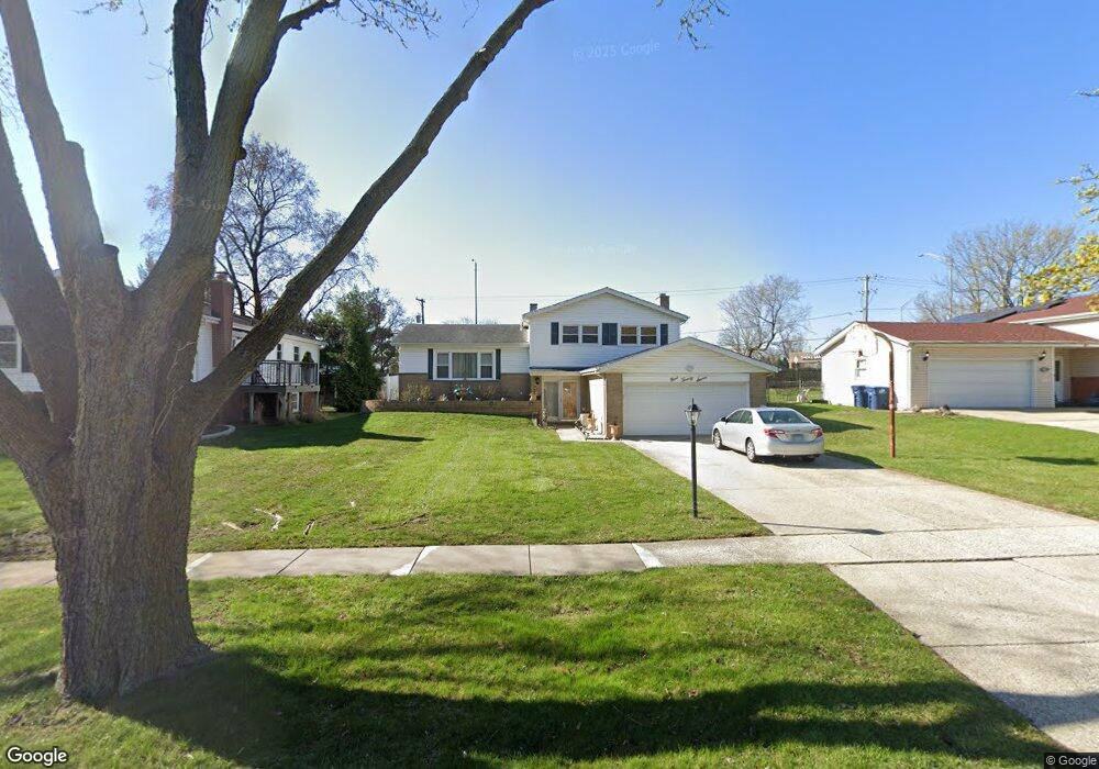
927 Cherokee Dr Darien, IL 60561
Estimated Value: $318,000 - $444,000
Studio
--
Bath
1,128
Sq Ft
$347/Sq Ft
Est. Value
About This Home
This home is located at 927 Cherokee Dr, Darien, IL 60561 and is currently estimated at $391,932, approximately $347 per square foot. 927 Cherokee Dr is a home located in DuPage County with nearby schools including Mark Delay School, Lace Elementary School, and Eisenhower Jr High School.
Ownership History
Date
Name
Owned For
Owner Type
Purchase Details
Closed on
Aug 15, 2000
Sold by
Hawks William A and Hawks Therese M
Bought by
Michael Gamal S and Michael Nadia F
Current Estimated Value
Home Financials for this Owner
Home Financials are based on the most recent Mortgage that was taken out on this home.
Original Mortgage
$145,000
Outstanding Balance
$50,829
Interest Rate
7.75%
Estimated Equity
$341,103
Create a Home Valuation Report for This Property
The Home Valuation Report is an in-depth analysis detailing your home's value as well as a comparison with similar homes in the area
Home Values in the Area
Average Home Value in this Area
Purchase History
| Date | Buyer | Sale Price | Title Company |
|---|---|---|---|
| Michael Gamal S | $174,000 | -- |
Source: Public Records
Mortgage History
| Date | Status | Borrower | Loan Amount |
|---|---|---|---|
| Open | Michael Gamal S | $145,000 |
Source: Public Records
Tax History
| Year | Tax Paid | Tax Assessment Tax Assessment Total Assessment is a certain percentage of the fair market value that is determined by local assessors to be the total taxable value of land and additions on the property. | Land | Improvement |
|---|---|---|---|---|
| 2024 | $5,698 | $115,982 | $46,395 | $69,587 |
| 2023 | $6,693 | $106,620 | $42,650 | $63,970 |
| 2022 | $6,590 | $104,440 | $41,780 | $62,660 |
| 2021 | $6,339 | $103,250 | $41,300 | $61,950 |
| 2020 | $6,252 | $101,200 | $40,480 | $60,720 |
| 2019 | $6,041 | $97,100 | $38,840 | $58,260 |
| 2018 | $5,657 | $92,000 | $38,650 | $53,350 |
| 2017 | $5,599 | $88,530 | $37,190 | $51,340 |
| 2016 | $5,451 | $84,490 | $35,490 | $49,000 |
| 2015 | $5,369 | $79,490 | $33,390 | $46,100 |
| 2014 | $5,094 | $74,740 | $32,460 | $42,280 |
| 2013 | $4,924 | $74,390 | $32,310 | $42,080 |
Source: Public Records
Map
Nearby Homes
- 7525 Nantucket Dr Unit 210
- 714 Walnut Dr Unit 205
- 7706 Warwick Ave
- 18W025 73rd St
- 7802 Warwick Ave
- 7209 Grant St
- 7800 Dorchester Ln
- 7816 Dorchester Ln
- 7700 Apple Tree Ln
- 7725 Sawyer Rd
- 709 79th St Unit 408
- 18W089 Claremont Dr
- Lot 1, 2, 3, 4 & 5 Nantucket Dr
- 310 Sheridan Dr Unit 1D
- 1447 Coventry Ct
- 17W435 Concord Place
- 1204 Sleepy Hollow Ln
- 6808 Scotch Pine Trail
- 1501 Darien Lake Dr Unit A201
- 321 Janet Ave
- 925 Cherokee Dr
- 1001 Cherokee Dr
- 1005 Cherokee Dr
- 930 Cherokee Dr
- 926 Cherokee Dr
- 917 Cherokee Dr
- 922 Cherokee Dr
- 1002 Cherokee Dr
- 1009 Cherokee Dr
- 1006 Cherokee Dr
- 918 Cherokee Dr
- 913 Cherokee Dr
- 914 Cherokee Dr
- 1010 Cherokee Dr
- 1013 Cherokee Dr
- 921 Hickory Ln
- 1001 Hickory Ln
- 917 Hickory Ln
- 911 Cherokee Dr
- 1014 Cherokee Dr
Your Personal Tour Guide
Ask me questions while you tour the home.