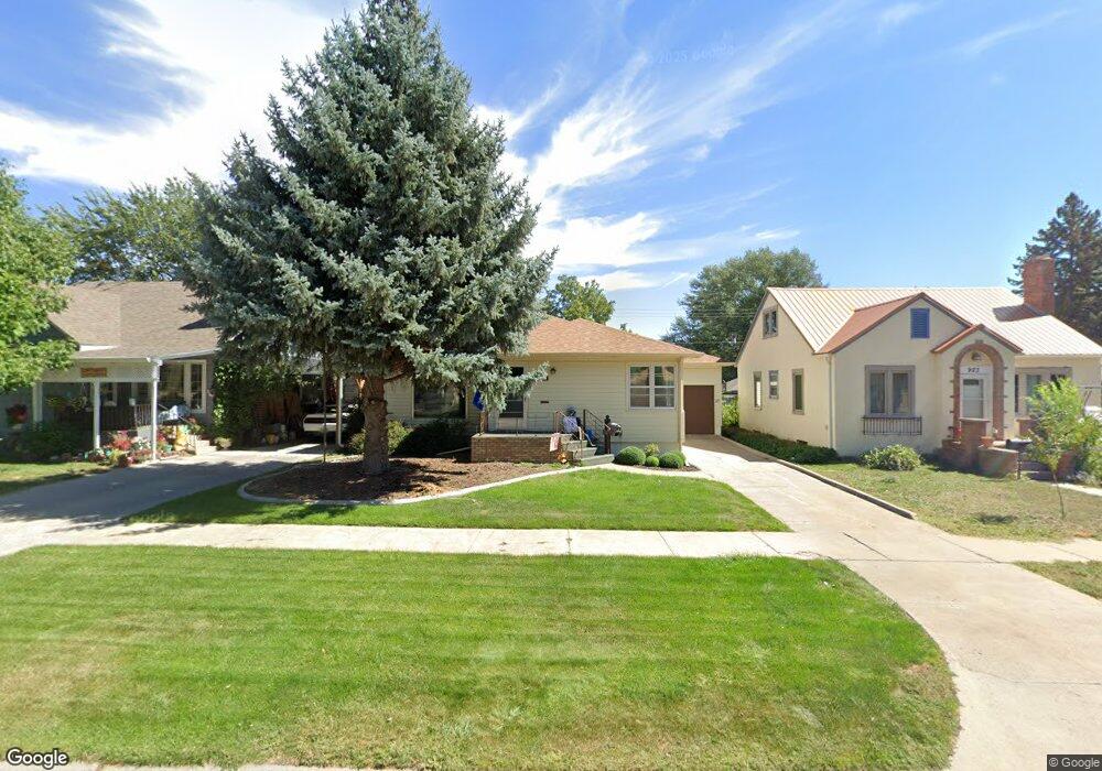
927 Emerson Ave Alliance, NE 69301
Estimated Value: $166,000 - $203,000
2
Beds
2
Baths
1,860
Sq Ft
$101/Sq Ft
Est. Value
About This Home
This home is located at 927 Emerson Ave, Alliance, NE 69301 and is currently estimated at $187,297, approximately $100 per square foot. 927 Emerson Ave is a home located in Box Butte County with nearby schools including Alliance High School, St. Agnes Academy, and Immanuel Evangelical Lutheran School.
Ownership History
Date
Name
Owned For
Owner Type
Purchase Details
Closed on
Mar 20, 2024
Sold by
Bloom R A R and Bloom Richard A
Bought by
Stein Tristin D and Stein Emily R
Current Estimated Value
Home Financials for this Owner
Home Financials are based on the most recent Mortgage that was taken out on this home.
Original Mortgage
$171,830
Outstanding Balance
$168,389
Interest Rate
6.77%
Mortgage Type
FHA
Estimated Equity
$18,908
Create a Home Valuation Report for This Property
The Home Valuation Report is an in-depth analysis detailing your home's value as well as a comparison with similar homes in the area
Home Values in the Area
Average Home Value in this Area
Purchase History
| Date | Buyer | Sale Price | Title Company |
|---|---|---|---|
| Stein Tristin D | $175,000 | Kunzman Title |
Source: Public Records
Mortgage History
| Date | Status | Borrower | Loan Amount |
|---|---|---|---|
| Open | Stein Tristin D | $171,830 |
Source: Public Records
Tax History
| Year | Tax Paid | Tax Assessment Tax Assessment Total Assessment is a certain percentage of the fair market value that is determined by local assessors to be the total taxable value of land and additions on the property. | Land | Improvement |
|---|---|---|---|---|
| 2025 | $2,221 | $187,040 | $6,930 | $180,110 |
| 2024 | $2,131 | $170,130 | $6,300 | $163,830 |
| 2023 | $2,925 | $170,130 | $6,300 | $163,830 |
| 2022 | $2,735 | $150,170 | $5,950 | $144,220 |
| 2021 | $2,768 | $150,170 | $5,950 | $144,220 |
| 2020 | $2,760 | $150,170 | $5,950 | $144,220 |
| 2019 | $2,696 | $150,170 | $5,950 | $144,220 |
| 2018 | $2,683 | $150,170 | $5,950 | $144,220 |
| 2017 | $2,543 | $137,015 | $4,550 | $132,465 |
| 2016 | $2,514 | $137,015 | $4,550 | $132,465 |
| 2015 | $2,403 | $129,570 | $4,550 | $125,020 |
| 2014 | $2,403 | $129,570 | $4,550 | $125,020 |
Source: Public Records
Map
Nearby Homes
- 823 Emerson Ave
- 936 Platte Ave
- 819 Black Hills Ave
- 928 Black Hills Ave
- 719 Toluca Ave
- 1021 Dakota Ave
- 1232 Emerson Ave
- 1103 Cheyenne Ave
- 601 Big Horn Ave
- 624 W 5th St
- 1232 Cheyenne Ave
- 1007 Laramie Ave
- 114 W 8th St
- 506 Cheyenne Ave
- 408 Toluca Ave
- 413 Big Horn Ave
- 112 E 11th St
- 122 W 4th St
- 808 Missouri Ave
- 1216 Duncan Ave
- 931 Emerson Ave
- 923 Emerson Ave
- 935 Emerson Ave
- 928 Toluca Ave
- 932 Toluca Ave
- 924 Toluca Ave
- 936 Toluca Ave
- 916 Toluca Ave
- 928 Emerson Ave
- 924 Emerson Ave
- 516 W 10th St
- 520 W 10th St
- 524 W 10th St
- 920 Emerson Ave
- 936 Emerson Ave
- 907 Emerson Ave
- 916 Emerson Ave
- 910 Toluca Ave
- 1011 Emerson Ave
- 1004 Toluca Ave
Your Personal Tour Guide
Ask me questions while you tour the home.