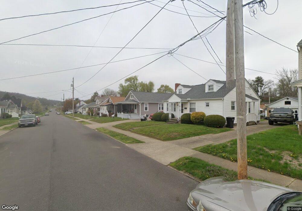
927 Lindbergh Ave Zanesville, OH 43701
Estimated Value: $126,000 - $177,000
2
Beds
1
Bath
972
Sq Ft
$160/Sq Ft
Est. Value
About This Home
This home is located at 927 Lindbergh Ave, Zanesville, OH 43701 and is currently estimated at $155,974, approximately $160 per square foot. 927 Lindbergh Ave is a home located in Muskingum County with nearby schools including Zane Grey Elementary School, Zanesville Middle School, and Zanesville High School.
Ownership History
Date
Name
Owned For
Owner Type
Purchase Details
Closed on
Mar 29, 2017
Sold by
Bauer Earl D and Bauer Latricia A
Bought by
Brooks Deena R and The Bauer Keystone Preservation Trust
Current Estimated Value
Purchase Details
Closed on
Mar 18, 1998
Sold by
Moody Linda K
Bought by
Bauer Earl D and Bauer Latricia A
Home Financials for this Owner
Home Financials are based on the most recent Mortgage that was taken out on this home.
Original Mortgage
$61,000
Outstanding Balance
$11,278
Interest Rate
7.14%
Mortgage Type
New Conventional
Estimated Equity
$144,696
Create a Home Valuation Report for This Property
The Home Valuation Report is an in-depth analysis detailing your home's value as well as a comparison with similar homes in the area
Home Values in the Area
Average Home Value in this Area
Purchase History
| Date | Buyer | Sale Price | Title Company |
|---|---|---|---|
| Brooks Deena R | -- | None Available | |
| Bauer Earl D | $59,900 | -- |
Source: Public Records
Mortgage History
| Date | Status | Borrower | Loan Amount |
|---|---|---|---|
| Open | Bauer Earl D | $61,000 |
Source: Public Records
Tax History Compared to Growth
Tax History
| Year | Tax Paid | Tax Assessment Tax Assessment Total Assessment is a certain percentage of the fair market value that is determined by local assessors to be the total taxable value of land and additions on the property. | Land | Improvement |
|---|---|---|---|---|
| 2024 | $939 | $36,575 | $3,815 | $32,760 |
| 2023 | $650 | $26,775 | $2,905 | $23,870 |
| 2022 | $632 | $26,775 | $2,905 | $23,870 |
| 2021 | $623 | $26,775 | $2,905 | $23,870 |
| 2020 | $559 | $24,430 | $2,660 | $21,770 |
| 2019 | $559 | $24,430 | $2,660 | $21,770 |
| 2018 | $572 | $24,430 | $2,660 | $21,770 |
| 2017 | $420 | $19,740 | $2,660 | $17,080 |
| 2016 | $431 | $19,740 | $2,660 | $17,080 |
| 2015 | $433 | $19,740 | $2,660 | $17,080 |
| 2013 | $515 | $19,740 | $2,660 | $17,080 |
Source: Public Records
Map
Nearby Homes
- 1037 Pine St
- 1140 Lindbergh Ave
- 621 Seborn Ave
- Lots 272,273,274,275 Pershing Rd
- 911 Merrick Ave
- 403 Seborn Ave
- 1321 S Westwood Dr
- 1215 Lake Dr
- 724 Luck Ave
- 1049 Benjamin Ave
- 224 Searle St
- 222 Lincoln St
- 1222 Putnam Ave
- 0 Cliffwood Ave Unit 5140229
- 825 Moxahala Ave
- 860 Moxahala Ave
- 2810 Maysville Pike
- 713 Moxahala Ave
- 922 Ayers St
- 411 Cliffwood Ave
- 935 Lindbergh Ave
- 917 Lindbergh Ave
- 939 Lindbergh Ave
- 926 Fess St
- 920 Fess St
- 928 Fess St
- 916 Fess St
- 909 Lindbergh Ave
- 945 Lindbergh Ave
- 932 Fess St
- 912 Fess St
- 928 Lindbergh Ave
- 934 Lindbergh Ave
- 922 Lindbergh Ave
- 918 Lindbergh Ave
- 903 Lindbergh Ave
- 1003 Lindbergh Ave
- 940 Lindbergh Ave
- 936 Fess St
- 904 Fess St