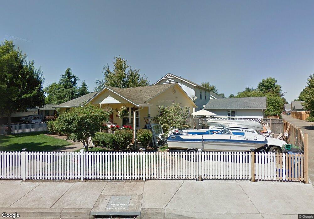
927 Nantucket Ave Eugene, OR 97404
River Road NeighborhoodEstimated Value: $445,641 - $492,000
3
Beds
3
Baths
1,692
Sq Ft
$279/Sq Ft
Est. Value
About This Home
This home is located at 927 Nantucket Ave, Eugene, OR 97404 and is currently estimated at $472,660, approximately $279 per square foot. 927 Nantucket Ave is a home located in Lane County with nearby schools including Howard Elementary School, Kelly Middle School, and North Eugene High School.
Ownership History
Date
Name
Owned For
Owner Type
Purchase Details
Closed on
Feb 24, 2000
Sold by
Springfield Eugene Habitat For Humanity
Bought by
Eads Candida Q
Current Estimated Value
Home Financials for this Owner
Home Financials are based on the most recent Mortgage that was taken out on this home.
Original Mortgage
$52,000
Interest Rate
8.26%
Mortgage Type
Seller Take Back
Purchase Details
Closed on
Aug 10, 1998
Sold by
Metzker William T
Bought by
Springfield Eugene Habitat For Humanity
Purchase Details
Closed on
May 11, 1998
Sold by
Eugene City Of
Bought by
Metzker William T
Create a Home Valuation Report for This Property
The Home Valuation Report is an in-depth analysis detailing your home's value as well as a comparison with similar homes in the area
Home Values in the Area
Average Home Value in this Area
Purchase History
| Date | Buyer | Sale Price | Title Company |
|---|---|---|---|
| Eads Candida Q | $52,000 | Fidelity National Title Ins | |
| Springfield Eugene Habitat For Humanity | $24,900 | Western Pioneer Title Co | |
| Metzker William T | $21,000 | Western Pioneer Title Co |
Source: Public Records
Mortgage History
| Date | Status | Borrower | Loan Amount |
|---|---|---|---|
| Closed | Eads Candida Q | $52,000 |
Source: Public Records
Tax History
| Year | Tax Paid | Tax Assessment Tax Assessment Total Assessment is a certain percentage of the fair market value that is determined by local assessors to be the total taxable value of land and additions on the property. | Land | Improvement |
|---|---|---|---|---|
| 2025 | $5,315 | $272,775 | -- | -- |
| 2024 | $5,249 | $264,831 | -- | -- |
| 2023 | $5,249 | $257,118 | -- | -- |
| 2022 | $4,917 | $249,630 | $0 | $0 |
| 2021 | $4,618 | $242,360 | $0 | $0 |
| 2020 | $4,610 | $235,301 | $0 | $0 |
| 2019 | $4,395 | $228,448 | $0 | $0 |
| 2018 | $4,122 | $215,335 | $0 | $0 |
| 2017 | $3,837 | $215,335 | $0 | $0 |
| 2016 | $3,655 | $209,063 | $0 | $0 |
| 2015 | $3,517 | $202,974 | $0 | $0 |
| 2014 | $3,443 | $197,062 | $0 | $0 |
Source: Public Records
Map
Nearby Homes
- 2002 Kintyre St
- 788 Cornwall Ave
- 1566 Maywood Ave
- 1682 Hemlock St
- 1164 Veronica Ln
- 1755 Brentwood Ave
- 1314 Dalton Dr
- 1010 N Park Ave
- 1633 Zoe Ave
- 1800 Lakewood Ct Unit 140
- 1800 Lakewood Ct Unit 24
- 1800 Lakewood Ct Unit 127
- 1800 Lakewood Ct Unit 134
- 1800 Lakewood Ct Unit 161
- 1800 Lakewood Ct Unit 158
- 1800 Lakewood Ct Unit 36
- 1307 Bramblewood Ln
- 1384 Jacobs Dr
- 1555 Escalante St
- 3717 Riviera
- 1353 Keller St
- 1359 Keller St
- 1348 Keller St
- 910 Nantucket Ave
- 1340 Keller St
- 1352 Keller St
- 922 Nantucket Ave
- 1348 N Park Ave
- 938 Nantucket Ave
- 1332 N Park Ave
- 1356 Keller St
- 1367 Keller St
- 946 Nantucket Ave
- 963 Nantucket Ave
- 1354 N Park Ave
- 969 Nantucket Ave
- 975 Nantucket Ave
- 1326 N Park Ave
- 958 Nantucket Ave
- 1366 Keller St
Your Personal Tour Guide
Ask me questions while you tour the home.