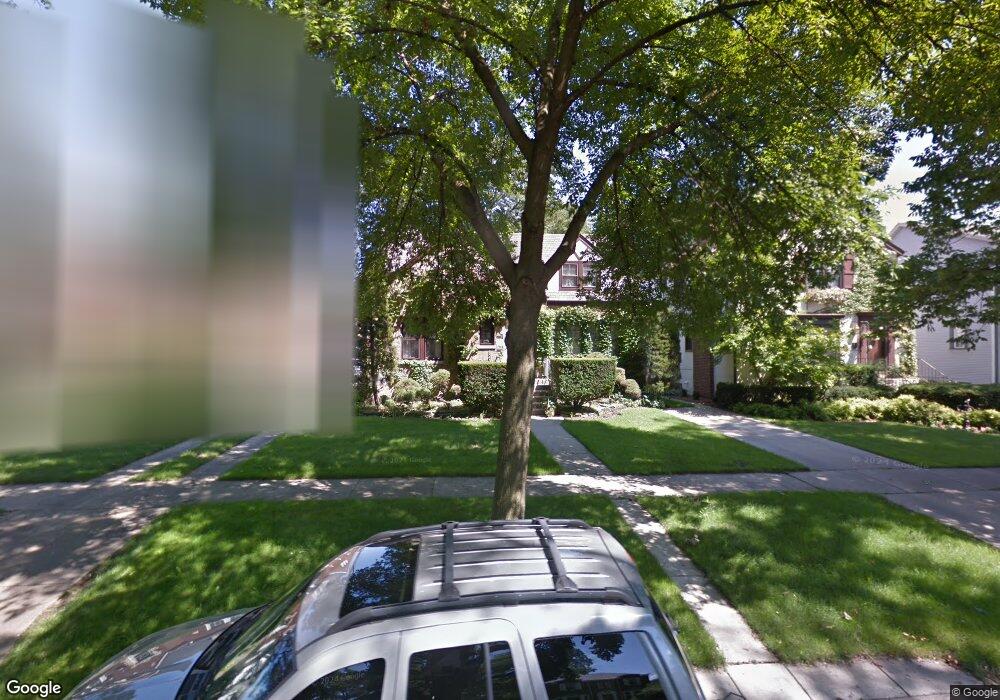
927 Peale Ave Park Ridge, IL 60068
Estimated Value: $591,263 - $698,000
3
Beds
2
Baths
2,166
Sq Ft
$298/Sq Ft
Est. Value
About This Home
This home is located at 927 Peale Ave, Park Ridge, IL 60068 and is currently estimated at $646,066, approximately $298 per square foot. 927 Peale Ave is a home located in Cook County with nearby schools including Theodore Roosevelt Elementary School, Lincoln Middle School, and Maine South High School.
Ownership History
Date
Name
Owned For
Owner Type
Purchase Details
Closed on
May 26, 1995
Sold by
Lockwood James R and Lockwood Sally K
Bought by
Jansyn Gregory K and Jansyn Maureen W
Current Estimated Value
Home Financials for this Owner
Home Financials are based on the most recent Mortgage that was taken out on this home.
Original Mortgage
$175,000
Interest Rate
7.9%
Create a Home Valuation Report for This Property
The Home Valuation Report is an in-depth analysis detailing your home's value as well as a comparison with similar homes in the area
Home Values in the Area
Average Home Value in this Area
Purchase History
| Date | Buyer | Sale Price | Title Company |
|---|---|---|---|
| Jansyn Gregory K | $256,500 | -- |
Source: Public Records
Mortgage History
| Date | Status | Borrower | Loan Amount |
|---|---|---|---|
| Closed | Jansyn Gregory K | $175,000 |
Source: Public Records
Tax History Compared to Growth
Tax History
| Year | Tax Paid | Tax Assessment Tax Assessment Total Assessment is a certain percentage of the fair market value that is determined by local assessors to be the total taxable value of land and additions on the property. | Land | Improvement |
|---|---|---|---|---|
| 2024 | $11,257 | $47,445 | $10,710 | $36,735 |
| 2023 | $11,449 | $47,445 | $10,710 | $36,735 |
| 2022 | $11,449 | $47,445 | $10,710 | $36,735 |
| 2021 | $11,656 | $41,656 | $6,615 | $35,041 |
| 2020 | $11,260 | $41,656 | $6,615 | $35,041 |
| 2019 | $11,037 | $45,776 | $6,615 | $39,161 |
| 2018 | $9,553 | $36,817 | $5,670 | $31,147 |
| 2017 | $9,529 | $36,817 | $5,670 | $31,147 |
| 2016 | $10,502 | $40,774 | $5,670 | $35,104 |
| 2015 | $8,031 | $28,661 | $4,725 | $23,936 |
| 2014 | $7,889 | $28,661 | $4,725 | $23,936 |
| 2013 | $7,455 | $28,661 | $4,725 | $23,936 |
Source: Public Records
Map
Nearby Homes
- 1021 Cleveland Ave
- 718 S Washington Ave
- 1220 Canfield Rd
- 6815 N Olmsted Ave Unit 203
- 1220 Courtland Ave
- 6852 N Northwest Hwy Unit 2B
- 6858 N Northwest Hwy Unit 2E
- 623 S Prospect Ave
- 6841 N Northwest Hwy Unit 3C
- 400 S Northwest Hwy Unit 312B
- 6681 N Northwest Hwy
- 7725 W Myrtle Ave
- 460 S Northwest Hwy Unit 307A
- 819 Albion Ave
- 820 W Talcott Rd
- 6919 N Overhill Ave
- 6625 N Northwest Hwy Unit 202
- 249 S Vine Ave Unit B
- 7425 W Devon Ave
- 1116 S Cumberland Ave
- 931 Peale Ave
- 923 Peale Ave
- 1003 Peale Ave
- 919 Peale Ave
- 930 Harrison St
- 1005 Peale Ave
- 1005 Peale Ave
- 926 Harrison St
- 1000 Harrison St
- 1000 Harrison St
- 915 Peale Ave
- 922 Harrison St
- 1002 Harrison St
- 918 Harrison St
- 1009 Peale Ave
- 922 Peale Ave
- 930 Peale Ave
- 911 Peale Ave
- 920 Peale Ave
- 1000 Peale Ave