927 Roundup Rd Westcliffe, CO 81252
Estimated Value: $794,000 - $873,050
3
Beds
4
Baths
2,698
Sq Ft
$308/Sq Ft
Est. Value
About This Home
This home is located at 927 Roundup Rd, Westcliffe, CO 81252 and is currently estimated at $830,017, approximately $307 per square foot. 927 Roundup Rd is a home located in Custer County with nearby schools including Custer County Elementary School, Custer Middle School, and Custer County High School.
Ownership History
Date
Name
Owned For
Owner Type
Purchase Details
Closed on
Feb 6, 2004
Sold by
Supple Arlene L
Bought by
Kreibaum Lee and Kreibaum Carolyn
Current Estimated Value
Purchase Details
Closed on
Feb 5, 2004
Sold by
Kreibaum Lee and Kreibaum Carolyn
Bought by
Kreibaum Carolyn M Revocable Living Trus
Purchase Details
Closed on
Aug 27, 2003
Sold by
Supple Arlene L
Bought by
Supple Arlene L Revocable Trust
Purchase Details
Closed on
Mar 9, 2001
Sold by
Beckwith Mountain Ranch
Bought by
Supple Arlene L
Create a Home Valuation Report for This Property
The Home Valuation Report is an in-depth analysis detailing your home's value as well as a comparison with similar homes in the area
Purchase History
| Date | Buyer | Sale Price | Title Company |
|---|---|---|---|
| Kreibaum Lee | $327,000 | -- | |
| Kreibaum Carolyn M Revocable Living Trus | -- | -- | |
| Supple Arlene L | -- | -- | |
| Supple Arlene L Revocable Trust | -- | -- | |
| Supple Arlene L | $64,600 | -- |
Source: Public Records
Tax History
| Year | Tax Paid | Tax Assessment Tax Assessment Total Assessment is a certain percentage of the fair market value that is determined by local assessors to be the total taxable value of land and additions on the property. | Land | Improvement |
|---|---|---|---|---|
| 2025 | $2,988 | $50,460 | $0 | $0 |
| 2024 | $2,735 | $53,790 | $0 | $0 |
| 2023 | $2,735 | $53,790 | $0 | $0 |
| 2022 | $1,751 | $34,350 | $1,270 | $33,080 |
| 2021 | $1,798 | $34,350 | $1,270 | $33,080 |
| 2020 | $1,577 | $31,310 | $1,260 | $30,050 |
| 2019 | $1,569 | $31,310 | $1,260 | $30,050 |
| 2018 | $1,286 | $26,890 | $860 | $26,030 |
| 2017 | $1,247 | $26,778 | $754 | $26,024 |
| 2016 | $1,283 | $29,050 | $920 | $28,130 |
| 2015 | -- | $363,756 | $10,429 | $353,327 |
| 2012 | $1,839 | $361,411 | $374 | $361,037 |
Source: Public Records
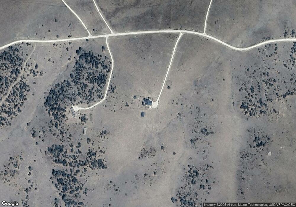
Map
Nearby Homes
- 750 Roundup Rd
- 581 Corral S
- 1301 Pheasant Loop
- TBD Lot 25 Corral N
- 2613 Pheasant Loop
- 1806 Corral Rd N
- 0 Corral N Unit REC4003395
- 0 Corral N Unit 5584754
- TBD Lot 34 Corral N
- 5155 County Road 215
- 1430 Hitching Post Rd
- 325 Mcmurtrie Rd
- 5250 Oak Grove Cir
- 278 Blue Grouse Cir
- 870 Oak Dr
- 148 Mears Rd
- 5010 Oak Grove Cir
- 188 Looters Ln
- 895 Acorn Rd
- TBD Palmer Rd
- 1115 Roundup Rd
- TBD Roundup Rd Unit 50
- TBD Roundup Rd Unit 45
- TBD Roundup Rd
- 96 Round up Rd
- 328 Round up Rd
- TBD Round up Rd
- 1125 Round up Rd
- 50 Round up Rd
- 665 Round
- 1125 Round-Up Rd
- 750 Round up Rd
- 950 Pheasant Loop
- 1153 Roundup Rd Unit 59
- 1153 Roundup Rd
- 940 Roundup Rd
- 575 Round up Rd
- 575 Roundup Rd Unit 53
- 575 Roundup Rd
- 1120 Roundup Rd
Your Personal Tour Guide
Ask me questions while you tour the home.