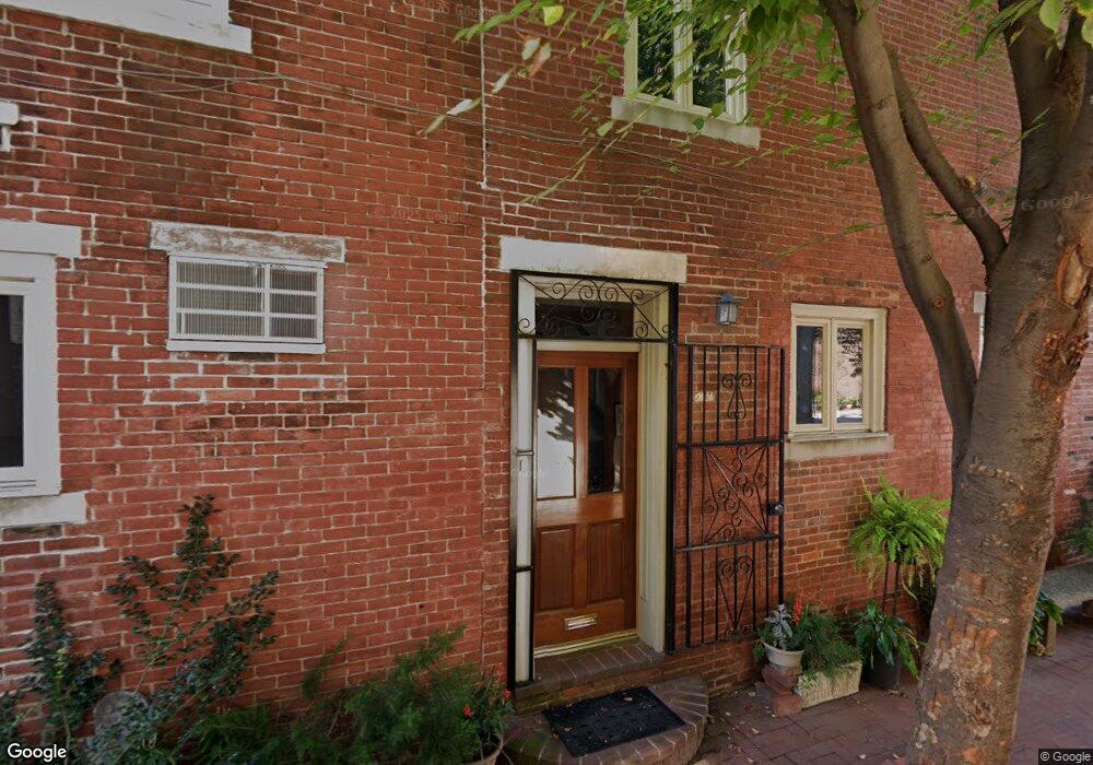
927 S 6th St Philadelphia, PA 19147
Queen Village NeighborhoodEstimated Value: $460,080 - $581,000
--
Bed
--
Bath
1,708
Sq Ft
$312/Sq Ft
Est. Value
About This Home
This home is located at 927 S 6th St, Philadelphia, PA 19147 and is currently estimated at $533,270, approximately $312 per square foot. 927 S 6th St is a home located in Philadelphia County with nearby schools including Nebinger George W School, Furness Horace High School, and St. Peter's School.
Ownership History
Date
Name
Owned For
Owner Type
Purchase Details
Closed on
Jun 13, 2008
Sold by
Eisler H Michael and Eisler Van Sant
Bought by
Vansant Marilyn J
Current Estimated Value
Purchase Details
Closed on
Feb 27, 2003
Sold by
Eisler H Michael
Bought by
Eisler H Michael and Vansant Marilyn J
Home Financials for this Owner
Home Financials are based on the most recent Mortgage that was taken out on this home.
Original Mortgage
$96,472
Outstanding Balance
$41,685
Interest Rate
5.95%
Estimated Equity
$491,585
Create a Home Valuation Report for This Property
The Home Valuation Report is an in-depth analysis detailing your home's value as well as a comparison with similar homes in the area
Home Values in the Area
Average Home Value in this Area
Purchase History
| Date | Buyer | Sale Price | Title Company |
|---|---|---|---|
| Vansant Marilyn J | -- | None Available | |
| Eisler H Michael | -- | First American Title Ins Co |
Source: Public Records
Mortgage History
| Date | Status | Borrower | Loan Amount |
|---|---|---|---|
| Open | Eisler H Michael | $96,472 |
Source: Public Records
Tax History Compared to Growth
Tax History
| Year | Tax Paid | Tax Assessment Tax Assessment Total Assessment is a certain percentage of the fair market value that is determined by local assessors to be the total taxable value of land and additions on the property. | Land | Improvement |
|---|---|---|---|---|
| 2025 | $5,547 | $421,800 | $84,360 | $337,440 |
| 2024 | $5,547 | $421,800 | $84,360 | $337,440 |
| 2023 | $5,547 | $396,300 | $79,260 | $317,040 |
| 2022 | $4,225 | $351,300 | $79,260 | $272,040 |
| 2021 | $4,855 | $0 | $0 | $0 |
| 2020 | $4,855 | $0 | $0 | $0 |
| 2019 | $4,479 | $0 | $0 | $0 |
| 2018 | $0 | $0 | $0 | $0 |
| 2017 | $3,970 | $0 | $0 | $0 |
| 2016 | $3,550 | $0 | $0 | $0 |
| 2015 | $3,086 | $0 | $0 | $0 |
| 2014 | -- | $267,800 | $19,170 | $248,630 |
| 2012 | -- | $28,864 | $6,381 | $22,483 |
Source: Public Records
Map
Nearby Homes
- 530 Montrose St
- 536 Montrose St Unit B
- 914 S Fairhill St
- 914 S 5th St Unit A
- 914 S 5th St Unit I
- 904 S 6th St
- 935 E Passyunk Ave
- 1031 S Fairhill St
- 813 E Passyunk Ave
- 814 S 5th St
- 804 E Passyunk Ave
- 609 Queen St
- 1013 E Passyunk Ave
- 607 Catharine St
- 760 E Passyunk Ave
- 37 Queens Ave
- 714 Salter St
- 732 Salter St
- 705 Catharine St
- 1140 S 6th St