Estimated Value: $93,000 - $142,000
3
Beds
1
Bath
1,062
Sq Ft
$116/Sq Ft
Est. Value
About This Home
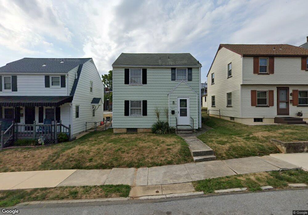
This home is located at 927 W Locust St, York, PA 17401 and is currently estimated at $123,354, approximately $116 per square foot. 927 W Locust St is a home located in York County with nearby schools including McKinley School, William Penn Senior High School, and Lincoln Charter School.
Ownership History
Date
Name
Owned For
Owner Type
Purchase Details
Closed on
Oct 31, 2000
Sold by
Anstadt Peter B and Anstadt Ursula A
Bought by
Steed David W
Current Estimated Value
Home Financials for this Owner
Home Financials are based on the most recent Mortgage that was taken out on this home.
Original Mortgage
$47,920
Outstanding Balance
$17,595
Interest Rate
7.83%
Estimated Equity
$105,759
Purchase Details
Closed on
Dec 30, 1994
Bought by
Anstadt Peter B
Create a Home Valuation Report for This Property
The Home Valuation Report is an in-depth analysis detailing your home's value as well as a comparison with similar homes in the area
Home Values in the Area
Average Home Value in this Area
Purchase History
| Date | Buyer | Sale Price | Title Company |
|---|---|---|---|
| Steed David W | $59,900 | First American Title Ins Co | |
| Anstadt Peter B | $49,900 | -- |
Source: Public Records
Mortgage History
| Date | Status | Borrower | Loan Amount |
|---|---|---|---|
| Open | Steed David W | $47,920 |
Source: Public Records
Tax History Compared to Growth
Tax History
| Year | Tax Paid | Tax Assessment Tax Assessment Total Assessment is a certain percentage of the fair market value that is determined by local assessors to be the total taxable value of land and additions on the property. | Land | Improvement |
|---|---|---|---|---|
| 2025 | $2,760 | $43,680 | $8,260 | $35,420 |
| 2024 | $2,712 | $43,680 | $8,260 | $35,420 |
| 2023 | $2,712 | $43,680 | $8,260 | $35,420 |
| 2022 | $2,696 | $43,680 | $8,260 | $35,420 |
| 2021 | $2,622 | $43,680 | $8,260 | $35,420 |
| 2020 | $2,560 | $43,680 | $8,260 | $35,420 |
| 2019 | $2,556 | $43,680 | $8,260 | $35,420 |
| 2018 | $2,556 | $43,680 | $8,260 | $35,420 |
| 2017 | $2,590 | $43,680 | $8,260 | $35,420 |
| 2016 | -- | $43,680 | $8,260 | $35,420 |
| 2015 | $2,042 | $43,680 | $8,260 | $35,420 |
| 2014 | $2,042 | $43,680 | $8,260 | $35,420 |
Source: Public Records
Map
Nearby Homes
- 908 W Princess St
- 919 W College Ave
- 932 W College Ave
- 828 W Princess St
- 908 W College Ave
- 1023 W Locust St
- 921 W Poplar St
- 811 W Poplar St
- 1111 W Princess St
- 1108 W College Ave
- 706 W Princess St
- 46 S Royal St
- 1206 W Poplar St
- 1211 W Poplar St
- 1213 W College Ave
- 1221 W Poplar St
- 1126 W Market St
- 19 Carlisle Ave
- 1250 W King St
- 217 S West St
- 931 W Locust St
- 923 W Locust St
- 917 W Locust St
- 935 W Locust St
- 915 W Locust St
- 939 W Locust St
- 913 W Locust St
- 932 W Princess St
- 934 W Princess St
- 930 W Princess St
- 936 W Princess St
- 943 W Locust St
- 928 W Princess St
- 938 W Princess St
- 926 W Princess St
- 911 W Locust St
- 940 W Princess St
- 940 W Princess St Unit 2
- 934 W Locust St
- 936 W Locust St