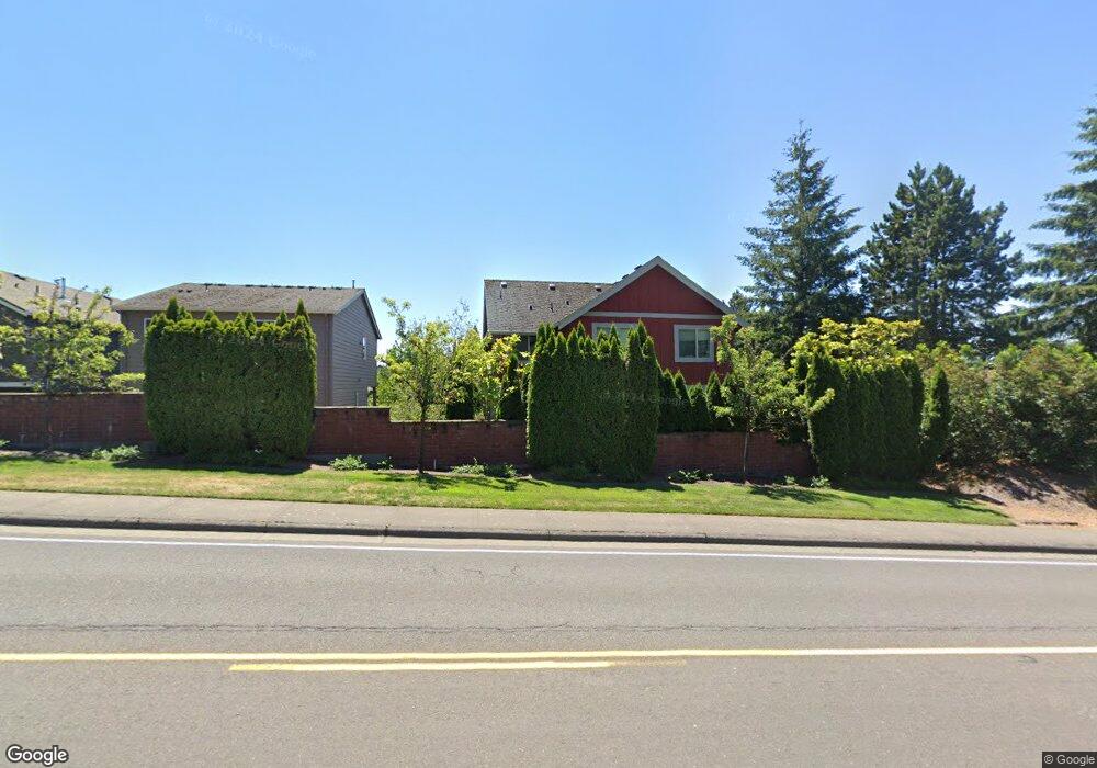
9270 NW Burntknoll Ct Portland, OR 97229
Estimated Value: $714,767 - $890,000
4
Beds
3
Baths
2,209
Sq Ft
$357/Sq Ft
Est. Value
About This Home
This home is located at 9270 NW Burntknoll Ct, Portland, OR 97229 and is currently estimated at $788,692, approximately $357 per square foot. 9270 NW Burntknoll Ct is a home located in Washington County with nearby schools including Cedar Mill Elementary School, Sunset High School, and French International School of Oregon.
Ownership History
Date
Name
Owned For
Owner Type
Purchase Details
Closed on
Mar 27, 2015
Sold by
Pittaway John D and Zacharias Rudolph H
Bought by
Xiong Lin
Current Estimated Value
Purchase Details
Closed on
Jun 29, 2011
Sold by
Cornell Heights Llc
Bought by
Pittaway John D and Zacharias Rudolph H
Home Financials for this Owner
Home Financials are based on the most recent Mortgage that was taken out on this home.
Original Mortgage
$357,673
Interest Rate
4.5%
Mortgage Type
FHA
Create a Home Valuation Report for This Property
The Home Valuation Report is an in-depth analysis detailing your home's value as well as a comparison with similar homes in the area
Home Values in the Area
Average Home Value in this Area
Purchase History
| Date | Buyer | Sale Price | Title Company |
|---|---|---|---|
| Xiong Lin | $512,000 | Fidelity National Title Co | |
| Pittaway John D | $366,977 | Chicago Title Insurance Co |
Source: Public Records
Mortgage History
| Date | Status | Borrower | Loan Amount |
|---|---|---|---|
| Previous Owner | Pittaway John D | $357,673 |
Source: Public Records
Tax History Compared to Growth
Tax History
| Year | Tax Paid | Tax Assessment Tax Assessment Total Assessment is a certain percentage of the fair market value that is determined by local assessors to be the total taxable value of land and additions on the property. | Land | Improvement |
|---|---|---|---|---|
| 2026 | $6,983 | $395,890 | -- | -- |
| 2025 | $6,983 | $384,360 | -- | -- |
| 2024 | $6,558 | $373,170 | -- | -- |
| 2023 | $6,558 | $362,310 | $0 | $0 |
| 2022 | $6,336 | $362,310 | $0 | $0 |
| 2021 | $6,120 | $341,520 | $0 | $0 |
| 2020 | $5,934 | $331,580 | $0 | $0 |
| 2019 | $5,744 | $321,930 | $0 | $0 |
| 2018 | $5,557 | $312,560 | $0 | $0 |
| 2017 | $5,357 | $303,460 | $0 | $0 |
| 2016 | $5,165 | $294,630 | $0 | $0 |
| 2015 | $4,971 | $286,050 | $0 | $0 |
| 2014 | $4,869 | $277,720 | $0 | $0 |
Source: Public Records
Map
Nearby Homes
- 1325 NW 94th Ave
- 9070 NW Lovejoy St
- 8937 NW Lovejoy St
- 680 NW Torrey View Ln
- 9601 NW Leahy Rd Unit 212
- 8930 NW Sherry Ct
- 8635 NW Ash St
- 229 NW Sundown Way
- 9361 NW Murlea Ln
- 10183 NW Crossing Dr
- 9625 NW Fleischner St
- 1615 NW Barnsley Ct
- 1726 NW Miller Hill Place
- 10156 NW Fleetwood Dr
- 1109 NW Frazier Ct
- 9636 NW Miller Hill Dr
- 10316 NW Forestview Way
- 100 NE Tuality Way NW
- 370 NW 81st Place
- 8601 NW Hazeltine St
- 9275 NW Burntknoll Ct
- 9244 NW Burntknoll Ct
- 9253 NW Burntknoll Ct
- 9280 NW Cornell Rd
- 9239 NW Burntknoll Ct
- 9233 NW Harvest Hill Dr
- 9220 NW Burntknoll Ct
- 9290 NW Cornell Rd
- 1144 NW 93rd Ave
- 1147 NW 92nd Ave
- 9217 NW Burntknoll Ct
- 1133 NW 92nd Ave
- 9316 NW Cornell Rd
- 9243 NW Harvest Hill Dr
- 9251 NW Harvest Hill Dr
- 9219 NW Harvest Hill Dr
- 9267 NW Harvest Hill Dr
- 9307 NW Ember Ln
- 9277 NW Harvest Hill Dr
- 1164 NW 92nd Ave