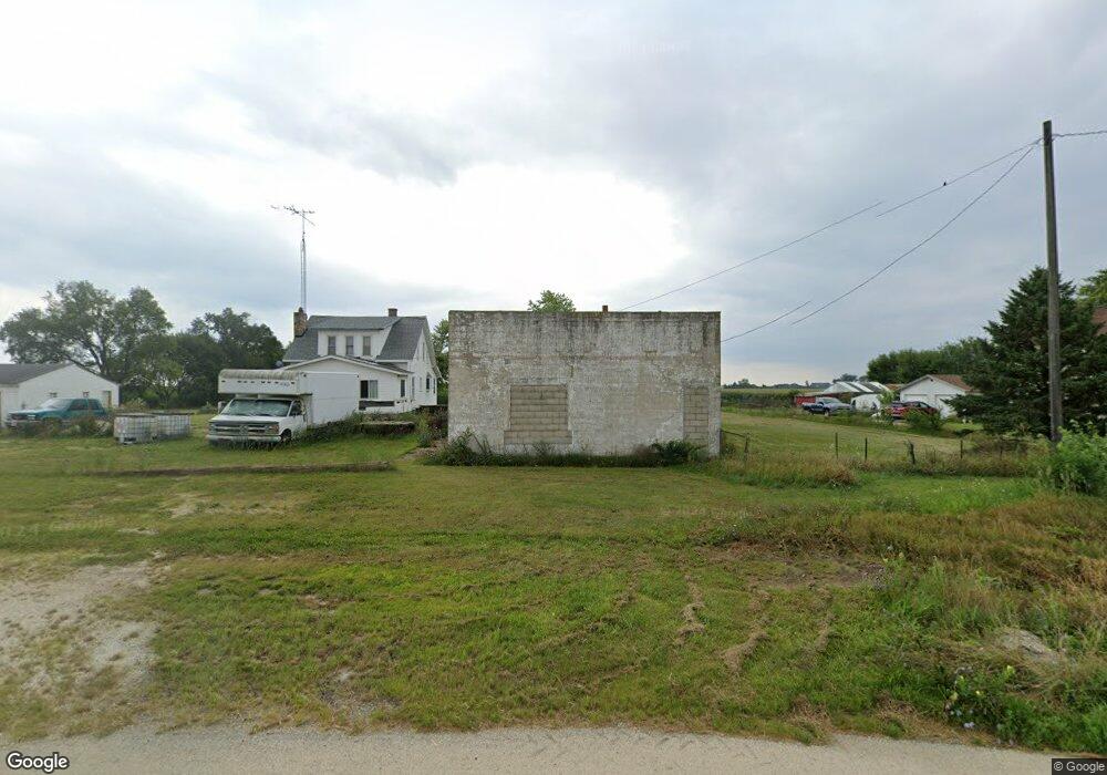
9270 W State Route 17 Bonfield, IL 60913
Estimated Value: $152,000 - $197,000
--
Bed
--
Bath
--
Sq Ft
1.52
Acres
About This Home
This home is located at 9270 W State Route 17, Bonfield, IL 60913 and is currently estimated at $171,417. 9270 W State Route 17 is a home located in Kankakee County with nearby schools including Herscher High School.
Ownership History
Date
Name
Owned For
Owner Type
Purchase Details
Closed on
Sep 20, 2019
Sold by
State Bank Of Herscher
Bought by
Fullerton Tiffany and Lacost Adam
Current Estimated Value
Purchase Details
Closed on
Jun 20, 2019
Sold by
Sheriff Of Kankakee County
Bought by
State Bank Of Herscher
Purchase Details
Closed on
Dec 21, 2005
Sold by
Smith Leo L and Smith Marjorie
Bought by
Dalton Traci L
Home Financials for this Owner
Home Financials are based on the most recent Mortgage that was taken out on this home.
Original Mortgage
$124,000
Interest Rate
6.3%
Mortgage Type
New Conventional
Create a Home Valuation Report for This Property
The Home Valuation Report is an in-depth analysis detailing your home's value as well as a comparison with similar homes in the area
Home Values in the Area
Average Home Value in this Area
Purchase History
| Date | Buyer | Sale Price | Title Company |
|---|---|---|---|
| Fullerton Tiffany | $14,500 | Homestar Title | |
| State Bank Of Herscher | -- | Chaplinski Claire | |
| Dalton Traci L | $150,000 | Attorney Only |
Source: Public Records
Mortgage History
| Date | Status | Borrower | Loan Amount |
|---|---|---|---|
| Previous Owner | Dalton Traci L | $124,000 | |
| Closed | Dalton Traci L | $18,588 |
Source: Public Records
Tax History Compared to Growth
Tax History
| Year | Tax Paid | Tax Assessment Tax Assessment Total Assessment is a certain percentage of the fair market value that is determined by local assessors to be the total taxable value of land and additions on the property. | Land | Improvement |
|---|---|---|---|---|
| 2024 | $2,034 | $34,860 | $9,465 | $25,395 |
| 2023 | $1,885 | $32,126 | $8,723 | $23,403 |
| 2022 | $1,773 | $29,937 | $8,129 | $21,808 |
| 2021 | $1,714 | $28,446 | $7,724 | $20,722 |
| 2020 | $2,784 | $41,999 | $7,463 | $34,536 |
| 2019 | $3,682 | $48,922 | $7,211 | $41,711 |
| 2018 | $3,301 | $48,318 | $7,122 | $41,196 |
| 2017 | $3,210 | $47,024 | $6,931 | $40,093 |
| 2016 | $3,069 | $45,215 | $6,664 | $38,551 |
| 2015 | $2,794 | $42,940 | $6,329 | $36,611 |
| 2014 | $2,696 | $41,690 | $6,145 | $35,545 |
| 2013 | -- | $42,432 | $6,254 | $36,178 |
Source: Public Records
Map
Nearby Homes
- 0 W 3000 Rd N Unit 23921814
- 10561 W State Route 17
- 1359 N 7000 Rd W
- 2414 N 7000w Rd
- 5690 W State Route 17
- 5285 W State Route 17 Unit A
- 5101 W 1000n Rd
- 12710 W 1000n Rd
- 4052 Foxborough Dr
- 4020 Foxborough Dr
- 464 E Pilot Dr
- 4079 Foxwood Dr
- 4015 Foxwood Dr
- 502 E 3rd St
- 3842 Stone Oaks Dr
- 532 E 2nd St
- 35 E Tobey Dr
- 301 N Main St
- 688 Jeanette St
- 597 Jeanette St
- 9184 W State Route 17
- 9292 W State Route 17
- 1 31n 10e
- 9614 Illinois 17
- 104 N 9000w Rd
- 72 N 9000w Rd
- 170 N 9000w Rd
- 236 N 9000w Rd
- 310 N 9000w Rd
- 8367 W State Route 17
- 8808 W State Route 17
- 8718 W State Route 17
- 545 N 9000w Rd
- 474 N 9000w Rd
- 8664 W State Route 17
- 8654 W State Route 17
- 8594 W State Route 17
- 1 S 10000w Rd
- 699 N 9000w Rd