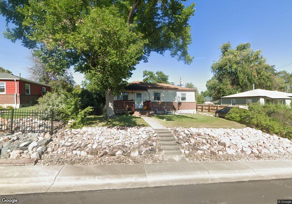
9271 Anderson St Thornton, CO 80229
South Thornton NeighborhoodEstimated Value: $382,223 - $419,000
5
Beds
1
Bath
1,014
Sq Ft
$397/Sq Ft
Est. Value
About This Home
This home is located at 9271 Anderson St, Thornton, CO 80229 and is currently estimated at $402,056, approximately $396 per square foot. 9271 Anderson St is a home located in Adams County with nearby schools including Trailside Academy.
Ownership History
Date
Name
Owned For
Owner Type
Purchase Details
Closed on
Nov 2, 2022
Sold by
Thorne Margaret Jean
Bought by
Hodge Colin and Cook Will
Current Estimated Value
Create a Home Valuation Report for This Property
The Home Valuation Report is an in-depth analysis detailing your home's value as well as a comparison with similar homes in the area
Home Values in the Area
Average Home Value in this Area
Purchase History
| Date | Buyer | Sale Price | Title Company |
|---|---|---|---|
| Hodge Colin | $315,000 | First Alliance Title |
Source: Public Records
Tax History Compared to Growth
Tax History
| Year | Tax Paid | Tax Assessment Tax Assessment Total Assessment is a certain percentage of the fair market value that is determined by local assessors to be the total taxable value of land and additions on the property. | Land | Improvement |
|---|---|---|---|---|
| 2024 | $2,050 | $24,940 | $5,630 | $19,310 |
| 2023 | $2,033 | $25,510 | $6,090 | $19,420 |
| 2022 | $1,399 | $20,980 | $5,280 | $15,700 |
| 2021 | $1,319 | $20,980 | $5,280 | $15,700 |
| 2020 | $1,304 | $21,160 | $5,430 | $15,730 |
| 2019 | $1,311 | $21,160 | $5,430 | $15,730 |
| 2018 | $824 | $15,490 | $5,180 | $10,310 |
| 2017 | $808 | $15,490 | $5,180 | $10,310 |
| 2016 | $656 | $13,200 | $2,550 | $10,650 |
| 2015 | $574 | $6,600 | $1,270 | $5,330 |
| 2014 | -- | $5,010 | $1,000 | $4,010 |
Source: Public Records
Map
Nearby Homes
- 2700 Eppinger Blvd
- 9160 Welby Rd
- 2620 Roosevelt Ave
- 9181 Aspen Dr
- 9230 Cook St
- 9191 Beechwood Dr
- 9341 York St
- 9095 Cypress Dr
- 9211 Harris St
- 2684 E 97th Ave
- 2984 E 97th Ave
- 9111 Monroe St
- 9335 Garfield St
- 9727 Clayton Cir
- 3570 E 90th Place
- 2840 E 98th Ave
- 8960 Vine St
- 9316 Harrison St
- 1900 E 95th Ave
- 9790 Steele St
- 9281 Anderson St
- 9261 Anderson St
- 9280 Travis St
- 9290 Travis St
- 9291 Anderson St
- 9251 Anderson St
- 9270 Travis St
- 9260 Anderson St
- 9270 Anderson St
- 9250 Anderson St
- 9300 Travis St
- 9280 Anderson St
- 9260 Travis St
- 9241 Anderson St
- 9240 Anderson St
- 9301 Anderson St
- 9310 Travis St
- 9291 Travis St
- 9261 Palo Verde St
- 9251 Palo Verde St