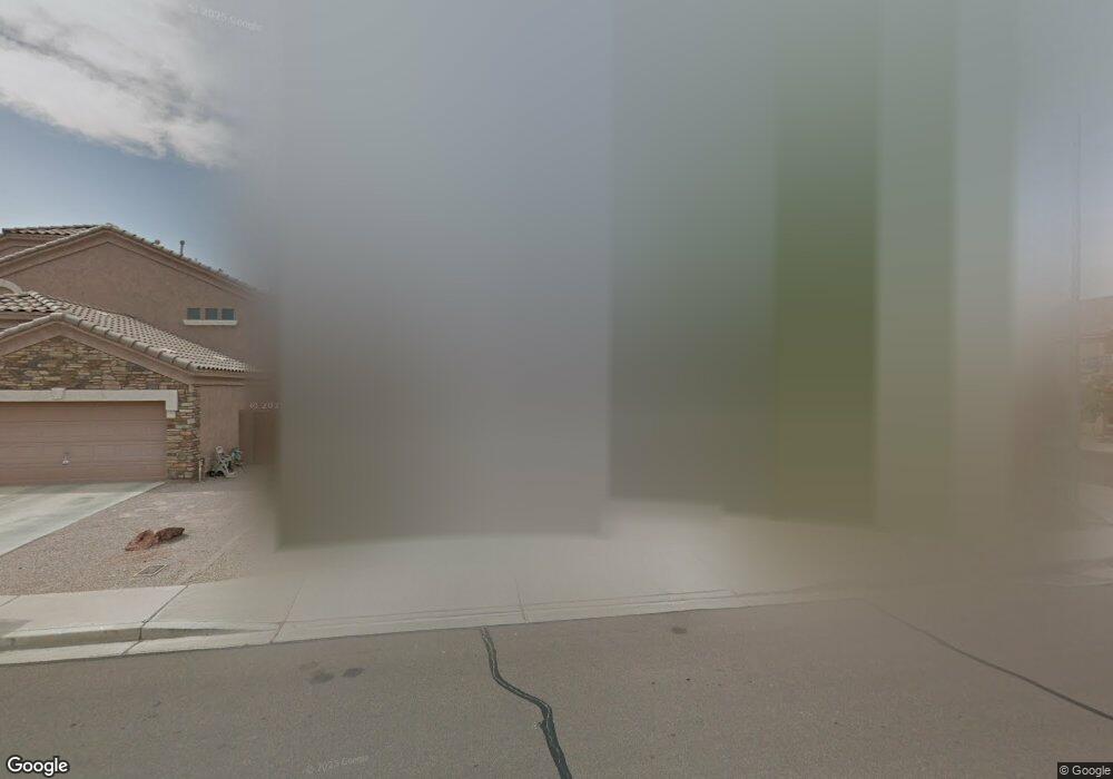
9271 W Pontiac Dr Peoria, AZ 85382
Estimated Value: $493,275 - $560,000
4
Beds
2
Baths
2,100
Sq Ft
$250/Sq Ft
Est. Value
About This Home
This home is located at 9271 W Pontiac Dr, Peoria, AZ 85382 and is currently estimated at $524,819, approximately $249 per square foot. 9271 W Pontiac Dr is a home located in Maricopa County with nearby schools including Coyote Hills Elementary School, Sunrise Mountain High School, and Sonoran Science Academy-Peoria.
Ownership History
Date
Name
Owned For
Owner Type
Purchase Details
Closed on
Mar 21, 2003
Sold by
Womack Patrick R and Womack Kristine R
Bought by
Gunnels Eric S and Gunnels Amy J
Current Estimated Value
Home Financials for this Owner
Home Financials are based on the most recent Mortgage that was taken out on this home.
Original Mortgage
$148,000
Outstanding Balance
$62,323
Interest Rate
5.6%
Mortgage Type
New Conventional
Estimated Equity
$462,496
Purchase Details
Closed on
Aug 13, 2001
Sold by
Shea Homes Arizona Ltd Partnership
Bought by
Womack Ii Patrick R and Womack Kristine R
Home Financials for this Owner
Home Financials are based on the most recent Mortgage that was taken out on this home.
Original Mortgage
$154,200
Interest Rate
6.84%
Mortgage Type
New Conventional
Create a Home Valuation Report for This Property
The Home Valuation Report is an in-depth analysis detailing your home's value as well as a comparison with similar homes in the area
Home Values in the Area
Average Home Value in this Area
Purchase History
| Date | Buyer | Sale Price | Title Company |
|---|---|---|---|
| Gunnels Eric S | $185,000 | North American Title Co | |
| Womack Ii Patrick R | $162,363 | First American Title | |
| Shea Homes Arizona Ltd Partnership | -- | First American Title |
Source: Public Records
Mortgage History
| Date | Status | Borrower | Loan Amount |
|---|---|---|---|
| Open | Gunnels Eric S | $148,000 | |
| Previous Owner | Womack Ii Patrick R | $154,200 |
Source: Public Records
Tax History Compared to Growth
Tax History
| Year | Tax Paid | Tax Assessment Tax Assessment Total Assessment is a certain percentage of the fair market value that is determined by local assessors to be the total taxable value of land and additions on the property. | Land | Improvement |
|---|---|---|---|---|
| 2025 | $2,831 | $26,057 | -- | -- |
| 2024 | $2,596 | $24,816 | -- | -- |
| 2023 | $2,596 | $0 | $0 | $0 |
| 2022 | $2,563 | $29,820 | $5,960 | $23,860 |
| 2021 | $2,692 | $27,710 | $5,540 | $22,170 |
| 2020 | $2,650 | $26,350 | $5,270 | $21,080 |
| 2019 | $2,533 | $24,050 | $4,810 | $19,240 |
| 2018 | $2,025 | $23,200 | $4,640 | $18,560 |
| 2017 | $2,513 | $21,650 | $4,330 | $17,320 |
| 2016 | $2,401 | $20,960 | $4,190 | $16,770 |
Source: Public Records
Map
Nearby Homes
- 20149 N 92nd Ave
- 20143 N 92nd Ave
- 20138 N 92nd Ave
- 9321 W Clara Ln
- 9152 W Escuda Dr
- 9403 W Escuda Dr
- 9225 W Runion Dr
- 20459 N 91st Dr
- 9331 W Runion Dr
- 9238 W Behrend Dr
- 20477 N 91st Dr
- 19817 N 92nd Ave
- 9250 W Runion Dr
- 20508 N 93rd Ln
- 20466 N 90th Ln
- 9203 W Behrend Dr
- 19835 N 90th Ln
- 9510 W Menadota Dr
- 19810 N 90th Ln
- 9032 W Sierra Pinta Dr
- 9265 W Pontiac Dr
- 9309 W Pontiac Dr
- 9259 W Pontiac Dr
- 20256 N 92nd Ln
- 20267 N 93rd Ave
- 9315 W Pontiac Dr
- 9253 W Pontiac Dr
- 20264 N 92nd Ln
- 20277 N 93rd Ave
- 9254 W Pontiac Dr
- 9321 W Pontiac Dr
- 9247 W Pontiac Dr
- 20272 N 92nd Ln
- 9248 W Pontiac Dr
- 20287 N 93rd Ave
- 20269 N 92nd Ln
- 9327 W Pontiac Dr
- 9241 W Pontiac Dr
- 9322 W Pontiac Dr
- 20056 N 91st Ln