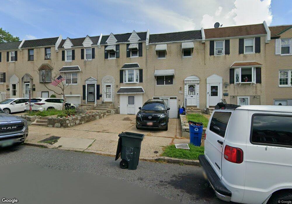
9272 Angus Place Philadelphia, PA 19114
Torresdale NeighborhoodEstimated Value: $279,000 - $310,000
3
Beds
1
Bath
1,296
Sq Ft
$230/Sq Ft
Est. Value
About This Home
This home is located at 9272 Angus Place, Philadelphia, PA 19114 and is currently estimated at $297,973, approximately $229 per square foot. 9272 Angus Place is a home located in Philadelphia County with nearby schools including Lincoln High School, Robert B. Pollock School, and Meehan Austin Middle School.
Ownership History
Date
Name
Owned For
Owner Type
Purchase Details
Closed on
Sep 5, 2002
Sold by
Horton William W and Horton Carol A
Bought by
Ofoli Mette Lucy A
Current Estimated Value
Home Financials for this Owner
Home Financials are based on the most recent Mortgage that was taken out on this home.
Original Mortgage
$109,137
Outstanding Balance
$46,089
Interest Rate
6.39%
Mortgage Type
FHA
Estimated Equity
$251,884
Create a Home Valuation Report for This Property
The Home Valuation Report is an in-depth analysis detailing your home's value as well as a comparison with similar homes in the area
Home Values in the Area
Average Home Value in this Area
Purchase History
| Date | Buyer | Sale Price | Title Company |
|---|---|---|---|
| Ofoli Mette Lucy A | $110,000 | -- |
Source: Public Records
Mortgage History
| Date | Status | Borrower | Loan Amount |
|---|---|---|---|
| Open | Ofoli Mette Lucy A | $109,137 |
Source: Public Records
Tax History Compared to Growth
Tax History
| Year | Tax Paid | Tax Assessment Tax Assessment Total Assessment is a certain percentage of the fair market value that is determined by local assessors to be the total taxable value of land and additions on the property. | Land | Improvement |
|---|---|---|---|---|
| 2025 | $3,012 | $268,100 | $53,620 | $214,480 |
| 2024 | $3,012 | $268,100 | $53,620 | $214,480 |
| 2023 | $3,012 | $215,200 | $43,040 | $172,160 |
| 2022 | $1,893 | $170,200 | $43,040 | $127,160 |
| 2021 | $2,457 | $0 | $0 | $0 |
| 2020 | $2,457 | $0 | $0 | $0 |
| 2019 | $2,314 | $0 | $0 | $0 |
| 2018 | $1,746 | $0 | $0 | $0 |
| 2017 | $1,746 | $0 | $0 | $0 |
| 2016 | $1,326 | $0 | $0 | $0 |
| 2015 | $1,269 | $0 | $0 | $0 |
| 2014 | -- | $124,700 | $37,974 | $86,726 |
| 2012 | -- | $19,840 | $3,900 | $15,940 |
Source: Public Records
Map
Nearby Homes
- 2843 Woodbridge Rd
- 9428 Woodbridge Rd
- 2710 Riverhouse Rd
- 2833 Saxton Rd
- 2959 Tremont St
- 2738 Maxwell St
- 9311 Andover Rd
- 2831 Sebring Rd
- 3215 Brookdale Rd
- 9328 Academy Rd
- 2831 Chase Rd
- 3108 Fairfield St
- 9214 Andover Rd
- 2777 Welsh Rd
- 9202 Treaty Rd
- 2742 Welsh Rd
- 9612 Convent Ave
- 2633 Maxwell St
- 2817 Walnut Hill St Unit A
- 3414 Aubrey Ave
- 9270 Angus Place
- 9274 Angus Place
- 9276 Angus Place
- 9266 Angus Place
- 9278 Angus Place
- 9262 Angus Place
- 2840 Angus Rd
- 9260 Angus Place
- 9258 Angus Place
- 2842 Angus Rd
- 9273 Angus Place
- 9271 Angus Place
- 9275 Angus Place
- 9277 Angus Place
- 9256 Angus Place
- 9279 Angus Place
- 2844 Angus Rd
- 9269 Angus Place
- 9267 Angus Place
- 9281 Angus Place