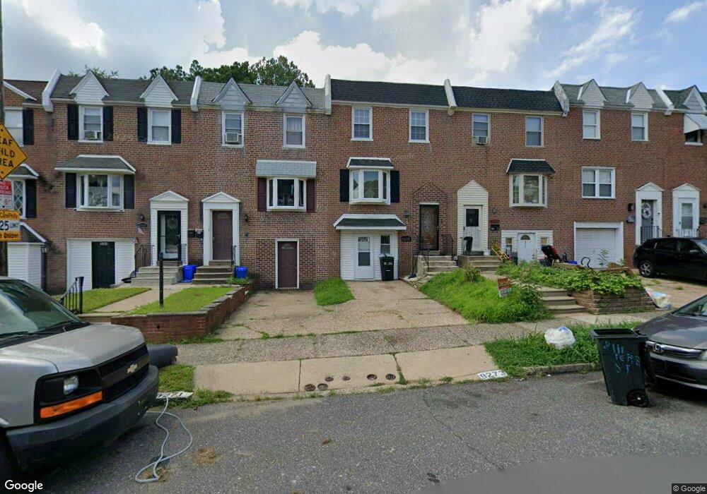
9273 Angus Place Philadelphia, PA 19114
Torresdale NeighborhoodEstimated Value: $297,000 - $316,634
3
Beds
1
Bath
1,404
Sq Ft
$218/Sq Ft
Est. Value
About This Home
This home is located at 9273 Angus Place, Philadelphia, PA 19114 and is currently estimated at $305,409, approximately $217 per square foot. 9273 Angus Place is a home located in Philadelphia County with nearby schools including Lincoln High School, Robert B. Pollock School, and Meehan Austin Middle School.
Ownership History
Date
Name
Owned For
Owner Type
Purchase Details
Closed on
Jan 12, 2001
Sold by
Kane Jane A and Kane Sherry Jane
Bought by
Keita Kelity
Current Estimated Value
Home Financials for this Owner
Home Financials are based on the most recent Mortgage that was taken out on this home.
Original Mortgage
$70,948
Outstanding Balance
$25,892
Interest Rate
7.39%
Mortgage Type
FHA
Estimated Equity
$279,517
Create a Home Valuation Report for This Property
The Home Valuation Report is an in-depth analysis detailing your home's value as well as a comparison with similar homes in the area
Home Values in the Area
Average Home Value in this Area
Purchase History
| Date | Buyer | Sale Price | Title Company |
|---|---|---|---|
| Keita Kelity | $79,900 | -- |
Source: Public Records
Mortgage History
| Date | Status | Borrower | Loan Amount |
|---|---|---|---|
| Open | Keita Kelity | $70,948 |
Source: Public Records
Tax History Compared to Growth
Tax History
| Year | Tax Paid | Tax Assessment Tax Assessment Total Assessment is a certain percentage of the fair market value that is determined by local assessors to be the total taxable value of land and additions on the property. | Land | Improvement |
|---|---|---|---|---|
| 2025 | $3,033 | $267,200 | $53,440 | $213,760 |
| 2024 | $3,033 | $267,200 | $53,440 | $213,760 |
| 2023 | $3,033 | $216,700 | $43,340 | $173,360 |
| 2022 | $2,486 | $216,700 | $43,340 | $173,360 |
| 2021 | $2,486 | $0 | $0 | $0 |
| 2020 | $2,486 | $0 | $0 | $0 |
| 2019 | $2,340 | $0 | $0 | $0 |
| 2018 | $1,753 | $0 | $0 | $0 |
| 2017 | $1,753 | $0 | $0 | $0 |
| 2016 | $1,753 | $0 | $0 | $0 |
| 2015 | $1,678 | $0 | $0 | $0 |
| 2014 | -- | $125,200 | $22,679 | $102,521 |
| 2012 | -- | $20,896 | $4,180 | $16,716 |
Source: Public Records
Map
Nearby Homes
- 2843 Woodbridge Rd
- 9428 Woodbridge Rd
- 2710 Riverhouse Rd
- 2833 Saxton Rd
- 2959 Tremont St
- 2738 Maxwell St
- 2831 Sebring Rd
- 9311 Andover Rd
- 3215 Brookdale Rd
- 9328 Academy Rd
- 2831 Chase Rd
- 2777 Welsh Rd
- 3108 Fairfield St
- 2742 Welsh Rd
- 9214 Andover Rd
- 2633 Maxwell St
- 9202 Treaty Rd
- 2817 Walnut Hill St Unit A
- 9612 Convent Ave
- 8860 Manchester St
- 9275 Angus Place
- 9271 Angus Place
- 9277 Angus Place
- 9269 Angus Place
- 9279 Angus Place
- 9267 Angus Place
- 9281 Angus Place
- 9265 Angus Place
- 2828 Angus Rd
- 9263 Angus Place
- 2826 Angus Rd
- 2824 Angus Rd
- 9261 Angus Place
- 9272 Angus Place
- 9266 Angus Place
- 2822 Angus Rd
- 9276 Angus Place
- 9259 Angus Place
- 9274 Angus Place
- 9278 Angus Place