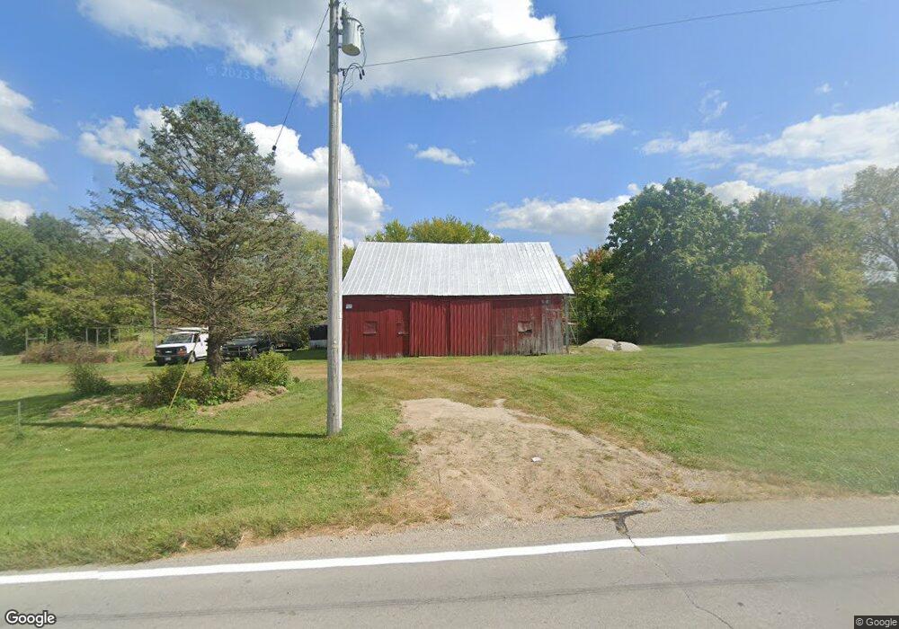
9274 State Route 380 Wilmington, OH 45177
Estimated Value: $229,000 - $336,000
3
Beds
2
Baths
1,712
Sq Ft
$165/Sq Ft
Est. Value
About This Home
This home is located at 9274 State Route 380, Wilmington, OH 45177 and is currently estimated at $282,500, approximately $165 per square foot. 9274 State Route 380 is a home located in Clinton County with nearby schools including Xenia High School.
Ownership History
Date
Name
Owned For
Owner Type
Purchase Details
Closed on
Nov 3, 2022
Sold by
Testa Antonio J and Testa Sharon
Bought by
Newport Mark Steven and Newport Jennifer A
Current Estimated Value
Home Financials for this Owner
Home Financials are based on the most recent Mortgage that was taken out on this home.
Original Mortgage
$221,250
Outstanding Balance
$214,070
Interest Rate
6.7%
Mortgage Type
New Conventional
Estimated Equity
$68,430
Purchase Details
Closed on
Oct 31, 2022
Sold by
Testa Antonio J and Testa Sharon
Bought by
Newport Mark Steven and Newport Jennifer A
Home Financials for this Owner
Home Financials are based on the most recent Mortgage that was taken out on this home.
Original Mortgage
$221,250
Outstanding Balance
$214,070
Interest Rate
6.7%
Mortgage Type
New Conventional
Estimated Equity
$68,430
Create a Home Valuation Report for This Property
The Home Valuation Report is an in-depth analysis detailing your home's value as well as a comparison with similar homes in the area
Home Values in the Area
Average Home Value in this Area
Purchase History
| Date | Buyer | Sale Price | Title Company |
|---|---|---|---|
| Newport Mark Steven | -- | -- | |
| Newport Mark Steven | -- | None Listed On Document |
Source: Public Records
Mortgage History
| Date | Status | Borrower | Loan Amount |
|---|---|---|---|
| Open | Newport Mark Steven | $221,250 | |
| Closed | Newport Mark Steven | $221,250 |
Source: Public Records
Tax History Compared to Growth
Tax History
| Year | Tax Paid | Tax Assessment Tax Assessment Total Assessment is a certain percentage of the fair market value that is determined by local assessors to be the total taxable value of land and additions on the property. | Land | Improvement |
|---|---|---|---|---|
| 2024 | $824 | $23,210 | $18,590 | $4,620 |
| 2023 | $824 | $23,210 | $18,590 | $4,620 |
| 2022 | $2,014 | $52,300 | $20,020 | $32,280 |
| 2021 | $2,016 | $52,300 | $20,020 | $32,280 |
| 2020 | $1,833 | $52,300 | $20,020 | $32,280 |
| 2019 | $1,725 | $45,560 | $20,010 | $25,550 |
| 2018 | $1,743 | $45,560 | $20,010 | $25,550 |
| 2017 | $1,697 | $45,560 | $20,010 | $25,550 |
| 2016 | $1,842 | $49,440 | $22,560 | $26,880 |
| 2015 | $1,781 | $49,440 | $22,560 | $26,880 |
| 2013 | $2,804 | $47,170 | $22,560 | $24,610 |
Source: Public Records
Map
Nearby Homes
- 8760 State Route 380
- 8648 Compton Rd
- 9052 Wilson Rd
- 6329 State Route 380
- 9500 Collett Rd Unit 20
- 668 New Burlington Rd
- 0A Old Winchester Trail
- 0C Old Winchester Trail
- 0B Old Winchester Trail
- 3620 Old Winchester Trail
- 8881 Route 42
- 10031 Ohio 73
- 196 Mound St
- 291 Main St
- 116 Maple St
- 7364 Cook Jones Rd
- 2 Acres Mount Holly Rd
- 9 Cumberland Ct
- 4245 Harveysburg Rd
- 9060 Ohio 73
- 9274 State Route 380
- 1 Mound Rd
- 9061 State Route 380
- 9299 State Route 380
- 9299 State Route 380
- 93 Mound Rd
- 22 Mound Rd
- 9427 State Route 380
- 78 Mound Rd
- 9052 State Route 380
- 9052 St Rt 380
- 107 Mound Rd
- 8988 State Route 380
- 9019 State Route 380
- 9019 St Rt 380
- 8981 State Route 380
- 9041 State Route 380
- 177 Mound Rd
- 200 Mound Rd
- 8970 State Route 380
