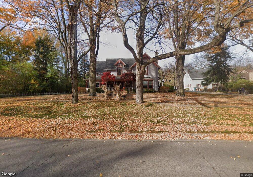
9275 McClumpha Rd Plymouth, MI 48170
Estimated Value: $594,000 - $783,000
4
Beds
5
Baths
3,899
Sq Ft
$183/Sq Ft
Est. Value
About This Home
This home is located at 9275 McClumpha Rd, Plymouth, MI 48170 and is currently estimated at $715,266, approximately $183 per square foot. 9275 McClumpha Rd is a home located in Wayne County with nearby schools including Canton High School, Isbister Elementary School, and Salem High School.
Ownership History
Date
Name
Owned For
Owner Type
Purchase Details
Closed on
Jun 28, 2019
Sold by
Deal Jeffrey E and Deal Diana
Bought by
Peters Christopher W and Peters Melissa L
Current Estimated Value
Home Financials for this Owner
Home Financials are based on the most recent Mortgage that was taken out on this home.
Original Mortgage
$540,000
Outstanding Balance
$474,825
Interest Rate
4%
Mortgage Type
New Conventional
Estimated Equity
$240,441
Purchase Details
Closed on
Mar 29, 1996
Sold by
Jeffrey E and Jeffrey Diana Deal
Bought by
Lawrence A Ribits and Berger Thomas M
Create a Home Valuation Report for This Property
The Home Valuation Report is an in-depth analysis detailing your home's value as well as a comparison with similar homes in the area
Home Values in the Area
Average Home Value in this Area
Purchase History
| Date | Buyer | Sale Price | Title Company |
|---|---|---|---|
| Peters Christopher W | $900,000 | Tri County Title Agency Inc | |
| Lawrence A Ribits | $380,000 | -- |
Source: Public Records
Mortgage History
| Date | Status | Borrower | Loan Amount |
|---|---|---|---|
| Open | Peters Christopher W | $540,000 |
Source: Public Records
Tax History Compared to Growth
Tax History
| Year | Tax Paid | Tax Assessment Tax Assessment Total Assessment is a certain percentage of the fair market value that is determined by local assessors to be the total taxable value of land and additions on the property. | Land | Improvement |
|---|---|---|---|---|
| 2025 | $7,289 | $372,100 | $0 | $0 |
| 2024 | $7,289 | $327,900 | $0 | $0 |
| 2023 | $6,944 | $318,500 | $0 | $0 |
| 2022 | $9,235 | $287,100 | $0 | $0 |
| 2021 | $8,982 | $274,700 | $0 | $0 |
| 2019 | $5,623 | $242,290 | $0 | $0 |
| 2018 | $3,838 | $223,460 | $0 | $0 |
| 2017 | $2,682 | $64,300 | $0 | $0 |
| 2016 | $5,140 | $218,600 | $0 | $0 |
| 2015 | $16,067 | $217,500 | $0 | $0 |
| 2013 | $15,565 | $187,180 | $0 | $0 |
| 2012 | -- | $171,320 | $57,000 | $114,320 |
Source: Public Records
Map
Nearby Homes
- 9195 N Canton Center Rd
- 8877 N Canton Center Rd
- 9350 Colony Farms Ct
- 9013 N Canton Center Rd
- 11701 Tuscany Ct
- 8140 N Pointe Ct
- 44877 Erin Dr Unit 2
- 44872 Lynn Dr
- 11793 Lorenz Way Unit 13
- 0 N Beck Rd
- 44750 Erin Dr Unit 40
- 44703 Erin Dr
- 44736 Lynn Dr
- 44854 Forest Trail Dr
- 44571 Clare Blvd
- 10839 Brookwood Dr
- 9060 N Sheldon Rd
- 8876 N Sheldon Rd
- 48100 Powell Rd
- 9453 Brookline Ave
- 46461 Arboretum Cir
- 46469 Arboretum Cir Unit 2
- 46477 Arboretum Cir
- 46462 Arboretum Cir
- 9260 McClumpha Rd
- 46470 Arboretum Cir
- 46490 Rockledge Dr
- 46478 Arboretum Cir
- 9270 McClumpha Rd
- 9174 Muirland Dr
- 46520 Rockledge Dr
- 46601 Arboretum Cir
- 46382 Rockledge Dr
- 9375 McClumpha Rd
- 46550 Rockledge Dr
- 46503 Arboretum Cir Unit 21
- 46356 Rockledge Dr
- 9144 Muirland Dr
- 46609 Arboretum Cir
- 46609 Arboretum Cir Unit 5