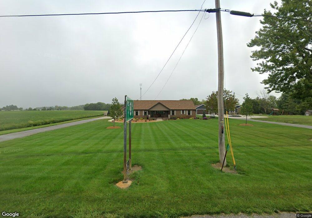
9275 State Route 66 Delphos, OH 45833
Estimated Value: $258,000 - $396,000
5
Beds
2
Baths
2,040
Sq Ft
$156/Sq Ft
Est. Value
About This Home
This home is located at 9275 State Route 66, Delphos, OH 45833 and is currently estimated at $318,873, approximately $156 per square foot. 9275 State Route 66 is a home located in Van Wert County with nearby schools including Delphos St. John's High School and Delphos St. John's Elementary School.
Ownership History
Date
Name
Owned For
Owner Type
Purchase Details
Closed on
Sep 2, 2015
Sold by
Boratko Randolph J and Boratko Diane S
Bought by
Tobe Nathan A and Tobe Nicole I
Current Estimated Value
Home Financials for this Owner
Home Financials are based on the most recent Mortgage that was taken out on this home.
Original Mortgage
$133,000
Outstanding Balance
$104,354
Interest Rate
4.04%
Mortgage Type
Purchase Money Mortgage
Estimated Equity
$214,519
Purchase Details
Closed on
Oct 20, 2006
Sold by
Boratko Randolph J and Boratko Diane S
Bought by
City Of Delphos Ohio
Purchase Details
Closed on
Apr 1, 2004
Bought by
Boratko Randolph J and Boratko Dia
Create a Home Valuation Report for This Property
The Home Valuation Report is an in-depth analysis detailing your home's value as well as a comparison with similar homes in the area
Home Values in the Area
Average Home Value in this Area
Purchase History
| Date | Buyer | Sale Price | Title Company |
|---|---|---|---|
| Tobe Nathan A | $141,000 | Attorney | |
| City Of Delphos Ohio | $1,000 | None Available | |
| Boratko Randolph J | $55,000 | -- | |
| Boratko Randolph J | $55,000 | -- |
Source: Public Records
Mortgage History
| Date | Status | Borrower | Loan Amount |
|---|---|---|---|
| Open | Tobe Nathan A | $133,000 |
Source: Public Records
Tax History Compared to Growth
Tax History
| Year | Tax Paid | Tax Assessment Tax Assessment Total Assessment is a certain percentage of the fair market value that is determined by local assessors to be the total taxable value of land and additions on the property. | Land | Improvement |
|---|---|---|---|---|
| 2024 | $2,395 | $84,750 | $8,190 | $76,560 |
| 2023 | $2,395 | $84,750 | $8,190 | $76,560 |
| 2022 | $2,036 | $65,130 | $7,000 | $58,130 |
| 2021 | $2,043 | $65,130 | $7,000 | $58,130 |
| 2020 | $1,634 | $50,690 | $7,000 | $43,690 |
| 2019 | $1,253 | $44,290 | $6,300 | $37,990 |
| 2018 | $1,254 | $44,290 | $6,300 | $37,990 |
| 2017 | $1,182 | $44,290 | $6,300 | $37,990 |
| 2016 | $1,127 | $40,640 | $6,300 | $34,340 |
| 2015 | $1,093 | $39,400 | $6,300 | $33,100 |
| 2014 | $1,180 | $39,400 | $6,300 | $33,100 |
| 2013 | $1,271 | $39,400 | $6,300 | $33,100 |
Source: Public Records
Map
Nearby Homes
- 8951 Brickner Rd
- 1303 Carolyn Dr
- 604 W 6th St
- 810 N Franklin St
- 1220 Rose Anna Dr
- 503 W 6th St
- 616 W 5th St
- 704 N Franklin St
- 610 N Washington St
- 628 N Pierce St
- 409 N Bredeick St
- 7510 State Route 66
- 405 N Franklin St
- 650 E 6th St
- 210 E 3rd St
- 914 E 3rd St
- 821 E 3rd St
- 903 E 3rd St
- 633 E 2nd St
- 221 S Main St
- 9275 State Route 66
- 9277 State Route 66
- 9299 State Route 66
- 9472 State Route 66
- 9557 State Route 66
- 9594 State Route 66
- 9599 State Route 66
- 9539 Shenk Rd
- 8652 State Route 66
- 9335 Shenk Rd
- 9275 Shenk Rd
- 9518 Shenk Rd
- 21326 Road 24u
- 20850 Road 24t
- 24565 Pohlman Rd
- 9699 Shenk Rd
- 9203 Shenk Rd
- 9440 Shenk Rd
- 20799 Road 24t