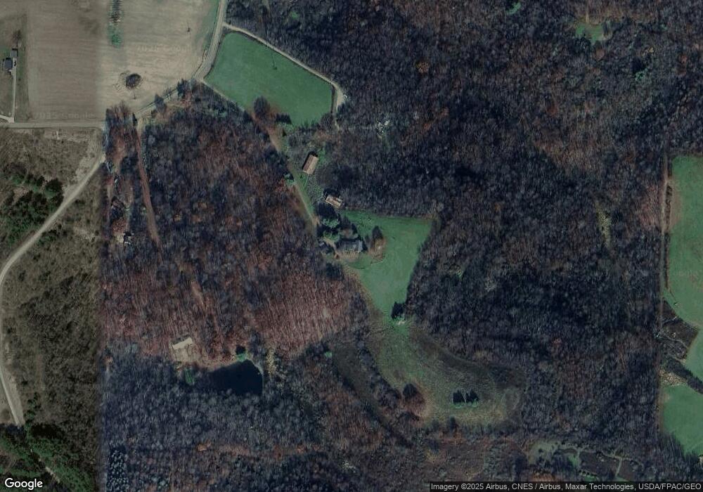
9276 Briar Rd Unit 20 Magnolia, OH 44643
Estimated Value: $246,246 - $354,000
3
Beds
2
Baths
2,526
Sq Ft
$121/Sq Ft
Est. Value
About This Home
This home is located at 9276 Briar Rd Unit 20, Magnolia, OH 44643 and is currently estimated at $305,415, approximately $120 per square foot. 9276 Briar Rd Unit 20 is a home located in Carroll County with nearby schools including Sandy Valley Elementary School, Sandy Valley Middle School, and Sandy Valley High School.
Ownership History
Date
Name
Owned For
Owner Type
Purchase Details
Closed on
May 3, 2012
Sold by
Thiel Sara A and Thiel Sara
Bought by
Thiel Nathan G
Current Estimated Value
Home Financials for this Owner
Home Financials are based on the most recent Mortgage that was taken out on this home.
Original Mortgage
$195,000
Interest Rate
3.87%
Mortgage Type
New Conventional
Purchase Details
Closed on
Sep 16, 2005
Sold by
Schlabach Douglas D and Schlabach Susan Ann
Bought by
Thiel Nathan G and Thiel Sara A
Home Financials for this Owner
Home Financials are based on the most recent Mortgage that was taken out on this home.
Original Mortgage
$203,600
Interest Rate
5.93%
Mortgage Type
New Conventional
Create a Home Valuation Report for This Property
The Home Valuation Report is an in-depth analysis detailing your home's value as well as a comparison with similar homes in the area
Home Values in the Area
Average Home Value in this Area
Purchase History
| Date | Buyer | Sale Price | Title Company |
|---|---|---|---|
| Thiel Nathan G | -- | Attorney | |
| Thiel Nathan G | $254,500 | Attorney |
Source: Public Records
Mortgage History
| Date | Status | Borrower | Loan Amount |
|---|---|---|---|
| Closed | Thiel Nathan G | $195,000 | |
| Closed | Thiel Nathan G | $203,600 |
Source: Public Records
Tax History Compared to Growth
Tax History
| Year | Tax Paid | Tax Assessment Tax Assessment Total Assessment is a certain percentage of the fair market value that is determined by local assessors to be the total taxable value of land and additions on the property. | Land | Improvement |
|---|---|---|---|---|
| 2024 | $1,501 | $51,720 | $23,120 | $28,600 |
| 2023 | $1,577 | $51,720 | $23,120 | $28,600 |
| 2022 | $1,589 | $51,720 | $23,120 | $28,600 |
| 2021 | $1,594 | $51,720 | $23,120 | $28,600 |
| 2020 | $1,566 | $51,720 | $23,120 | $28,600 |
| 2019 | $1,557 | $51,720 | $23,118 | $28,602 |
| 2018 | $1,583 | $36,100 | $7,300 | $28,800 |
| 2017 | $1,650 | $36,100 | $7,300 | $28,800 |
| 2016 | $1,647 | $33,460 | $7,270 | $26,190 |
| 2015 | $1,561 | $33,460 | $7,270 | $26,190 |
| 2014 | $1,658 | $33,460 | $7,270 | $26,190 |
| 2013 | $1,628 | $33,460 | $7,270 | $26,190 |
Source: Public Records
Map
Nearby Homes
- 853 Hartwood Rd NW
- 1147 Hope Rd NW
- 0 Magnolia Rd Unit 5164979
- 1201 Whispering Pines Ln SW Unit 12
- 1100 Fawn Rd SW Unit 12A
- 1121 Fiesta Rd SW Unit 12B
- 278 Bark Rd SW Unit 1A
- 7009 Bachelor Rd NW
- 6170 Paradise Dr SW
- 1186 Lincoln St SW
- 9201 N Shore Dr NE
- 910 Canal St
- 5218 Polen Rd NE
- 2319 Camille Rd SW Unit 17
- 5050 Miner St
- 6026 Waynesburg Rd NW Unit 5
- 8885 Locust St SW Unit 16J
- 424 Avalon Rd SW Unit 31
- 17 West St
- 8737 N High St
- 9284 Briar Rd
- 276 Thunder Rd NW Unit 20
- 9249 Briar Rd
- 9241 Briar Rd Unit 9245
- 9241 Briar Rd Unit 21
- 9241 Briar Rd
- 229 Holly Rd NW Unit 20
- 229 Holly Rd NW Unit 20
- 9228 Briar Rd Unit 21
- 9155 Briar Rd Unit 21
- 9330 Briar Rd Unit 20
- 225 Thunder Rd NW
- 9218 Briar Rd Unit 21
- 9199 Briar Rd
- 9196 Briar Rd
- 9237 Briar Rd
- 9237 Briar Rd Unit 40
- 9355 Briar Rd Unit 21
- 9357 Briar Rd
- 230 Thunder Rd NW
