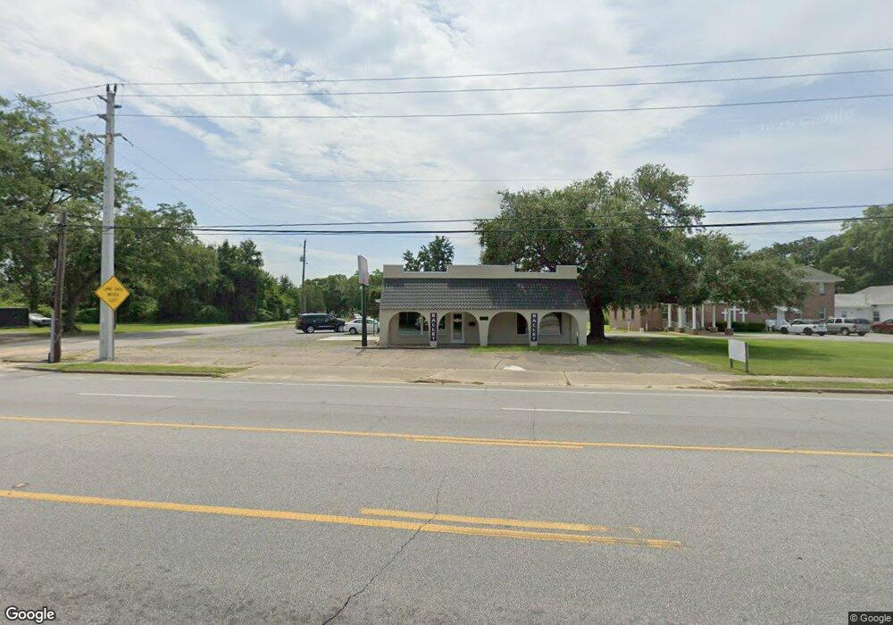
9276 N Davis Hwy Pensacola, FL 32514
Estimated Value: $333,535
--
Bed
2
Baths
3,000
Sq Ft
$111/Sq Ft
Est. Value
About This Home
This home is located at 9276 N Davis Hwy, Pensacola, FL 32514 and is currently estimated at $333,535, approximately $111 per square foot. 9276 N Davis Hwy is a home located in Escambia County with nearby schools including Ferry Pass Elementary School, Ferry Pass Middle School, and Booker T. Washington High School.
Ownership History
Date
Name
Owned For
Owner Type
Purchase Details
Closed on
Oct 16, 2017
Sold by
Sds Florida West Llc
Bought by
Universal Painting By Thomas Smith Llc
Current Estimated Value
Home Financials for this Owner
Home Financials are based on the most recent Mortgage that was taken out on this home.
Original Mortgage
$97,750
Outstanding Balance
$53,046
Interest Rate
3.78%
Mortgage Type
Commercial
Estimated Equity
$280,489
Create a Home Valuation Report for This Property
The Home Valuation Report is an in-depth analysis detailing your home's value as well as a comparison with similar homes in the area
Home Values in the Area
Average Home Value in this Area
Purchase History
| Date | Buyer | Sale Price | Title Company |
|---|---|---|---|
| Universal Painting By Thomas Smith Llc | $115,000 | Attorney |
Source: Public Records
Mortgage History
| Date | Status | Borrower | Loan Amount |
|---|---|---|---|
| Open | Universal Painting By Thomas Smith Llc | $97,750 |
Source: Public Records
Tax History Compared to Growth
Tax History
| Year | Tax Paid | Tax Assessment Tax Assessment Total Assessment is a certain percentage of the fair market value that is determined by local assessors to be the total taxable value of land and additions on the property. | Land | Improvement |
|---|---|---|---|---|
| 2024 | $2,964 | $249,991 | $74,216 | $175,775 |
| 2023 | $2,964 | $211,561 | $74,216 | $137,345 |
| 2022 | $2,015 | $138,650 | $74,216 | $64,434 |
| 2021 | $1,923 | $127,491 | $0 | $0 |
| 2020 | $1,900 | $127,909 | $0 | $0 |
| 2019 | $2,216 | $149,189 | $0 | $0 |
| 2018 | $2,217 | $146,253 | $0 | $0 |
| 2017 | $0 | $144,679 | $0 | $0 |
| 2016 | $2,279 | $144,892 | $0 | $0 |
| 2015 | -- | $141,006 | $0 | $0 |
| 2014 | -- | $141,144 | $0 | $0 |
Source: Public Records
Map
Nearby Homes
- 2719 Copter Rd
- 345 Mirabelle Dr
- 139 Mirabelle Cir
- 364 Mirabelle Dr
- 2371 Le Ruth Dr
- 9400 Mabel St
- 2300 BLK Gloria Cir
- 2393 Shoal Creek Dr
- 2360 Shoal Creek Dr
- 2354 Shoal Creek Dr
- 2308 Shoal Creek Dr
- 8573 Westview Ln
- 8560 Westview Ln
- 49 Crabapple Ln
- 2150 Academy Dr
- 10091 Hillview Dr
- 8511 Sawmill Run
- 9812 Bridgewood Ln
- 9021 University Pkwy
- 3465 River Gardens Cir
- 0 Karland Rd
- 2606 Copter Rd
- 2610 Copter Rd
- 2701 Karland Rd
- 2716 Copter Rd Unit Also 2718 Copter Roa
- 2716 Copter Rd
- 2700 Karland Rd
- 2607 Copter Rd
- 2609 Copter Rd
- 9318 N Davis Hwy
- 2712 Karland Rd
- 2615 Copter Rd
- 2714 Karland Rd
- 2718 Copter Rd
- 9202 N Davis Hwy
- 2725 Kelso Rd
- 2610 Larkin St
- 2718 Karland Rd
- 0 Kelso Rd
- 2717 Karland Rd