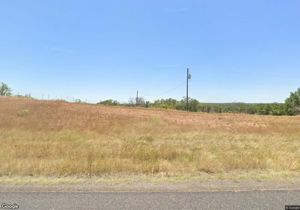
9279 Highway 279 Brownwood, TX 76801
Estimated Value: $231,000
--
Bed
--
Bath
160
Sq Ft
$1,444/Sq Ft
Est. Value
About This Home
This home is located at 9279 Highway 279, Brownwood, TX 76801 and is currently estimated at $231,000, approximately $1,443 per square foot. 9279 Highway 279 is a home located in Brown County with nearby schools including J.B. Stephens Elementary School, Bangs Middle School, and Bangs High School.
Ownership History
Date
Name
Owned For
Owner Type
Purchase Details
Closed on
Dec 4, 2013
Sold by
Dobbins Dustin and Dobbins Jackie
Bought by
Sanders Aaron Michael and Sanders Kimberly
Current Estimated Value
Home Financials for this Owner
Home Financials are based on the most recent Mortgage that was taken out on this home.
Original Mortgage
$304,000
Outstanding Balance
$225,896
Interest Rate
4.14%
Mortgage Type
New Conventional
Estimated Equity
$5,104
Purchase Details
Closed on
Sep 14, 2012
Sold by
Mcdonald Greg
Bought by
Dobbins Dustin and Dobbins Jackie
Create a Home Valuation Report for This Property
The Home Valuation Report is an in-depth analysis detailing your home's value as well as a comparison with similar homes in the area
Home Values in the Area
Average Home Value in this Area
Purchase History
| Date | Buyer | Sale Price | Title Company |
|---|---|---|---|
| Sanders Aaron Michael | -- | None Available | |
| Dobbins Dustin | -- | None Available |
Source: Public Records
Mortgage History
| Date | Status | Borrower | Loan Amount |
|---|---|---|---|
| Open | Sanders Aaron Michael | $304,000 |
Source: Public Records
Tax History Compared to Growth
Tax History
| Year | Tax Paid | Tax Assessment Tax Assessment Total Assessment is a certain percentage of the fair market value that is determined by local assessors to be the total taxable value of land and additions on the property. | Land | Improvement |
|---|---|---|---|---|
| 2025 | $1,059 | $85,460 | $83,460 | $2,000 |
| 2024 | $944 | $76,140 | $74,140 | $2,000 |
| 2023 | $818 | $65,610 | $65,610 | $0 |
| 2022 | $823 | $57,040 | $57,040 | $0 |
| 2021 | $545 | $33,490 | $33,410 | $80 |
| 2020 | $516 | $30,100 | $29,630 | $470 |
| 2019 | $523 | $28,760 | $28,280 | $480 |
| 2018 | $496 | $27,070 | $26,930 | $140 |
| 2017 | $496 | $27,070 | $26,930 | $140 |
| 2016 | $496 | $27,070 | $26,930 | $140 |
| 2015 | -- | $33,960 | $26,930 | $7,030 |
| 2014 | -- | $33,960 | $26,930 | $7,030 |
Source: Public Records
Map
Nearby Homes
- 9224 Highway 279
- Lot 22 Turner Ranch Rd
- Lot 23 Turner Ranch Rd
- 9555 County Road 456
- 7850 County Road 551
- 8042 County Road 546
- 6996 Shamrock Dr
- 6944 Shamrock Dr
- 6926 Shamrock Dr
- 6930 County Road 569
- 6912 Ireland Dr
- 6959 Shamrock Dr
- 6908 Clover Leaf Dr
- 8765 Texas 279
- 6885 County Road 594
- 6926 Turner Dr
- Tbd Saint Patrick Dr
- Lot 6 County Road 601
- N/A Newcastle Dr
- 7134 Emerald Dr
- 9501 Highway 279
- LOT# 24 Turner Ranch Rd
- lot 30 Turner Ranch Roar
- 9601 Highway 279
- 9230 Texas 279
- 9034 Mesa View Rd
- 9032 Mesa View Rd
- 7600 Leo Dr Ln
- 7600 Leo Ln
- 8964 Cr 456
- 10030 County Road 130
- 9034 Wildwood Trail
- 10000 County Road 130
- TBD County Road 456
- 10035 County Road 130
- 9032 Wildwood Trail
- 9028 Wildwood Trail
- 10101 County Road 130
- 0000 Long View Dr
- 8501 County Road 456