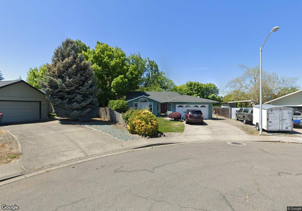
928 Fairfield Cir Central Point, OR 97502
Estimated Value: $350,667 - $388,000
3
Beds
2
Baths
1,258
Sq Ft
$292/Sq Ft
Est. Value
About This Home
This home is located at 928 Fairfield Cir, Central Point, OR 97502 and is currently estimated at $366,917, approximately $291 per square foot. 928 Fairfield Cir is a home located in Jackson County with nearby schools including Central Point Elementary School, Scenic Middle School, and Crater High School.
Ownership History
Date
Name
Owned For
Owner Type
Purchase Details
Closed on
Feb 25, 2002
Sold by
Owings Edward G and Owings Leigh A
Bought by
Wright Matthew P and Wright Elizabeth A
Current Estimated Value
Home Financials for this Owner
Home Financials are based on the most recent Mortgage that was taken out on this home.
Original Mortgage
$51,000
Interest Rate
6.8%
Create a Home Valuation Report for This Property
The Home Valuation Report is an in-depth analysis detailing your home's value as well as a comparison with similar homes in the area
Purchase History
| Date | Buyer | Sale Price | Title Company |
|---|---|---|---|
| Wright Matthew P | $125,000 | Jackson County Title |
Source: Public Records
Mortgage History
| Date | Status | Borrower | Loan Amount |
|---|---|---|---|
| Closed | Wright Matthew P | $51,000 |
Source: Public Records
Tax History
| Year | Tax Paid | Tax Assessment Tax Assessment Total Assessment is a certain percentage of the fair market value that is determined by local assessors to be the total taxable value of land and additions on the property. | Land | Improvement |
|---|---|---|---|---|
| 2026 | $3,152 | $190,460 | -- | -- |
| 2025 | $3,075 | $184,920 | $56,170 | $128,750 |
| 2024 | $3,075 | $179,540 | $54,540 | $125,000 |
| 2023 | $2,976 | $174,320 | $52,950 | $121,370 |
| 2022 | $2,906 | $174,320 | $52,950 | $121,370 |
| 2021 | $2,823 | $169,250 | $51,410 | $117,840 |
| 2020 | $2,741 | $164,330 | $49,910 | $114,420 |
| 2019 | $2,674 | $154,910 | $47,040 | $107,870 |
| 2018 | $2,592 | $150,400 | $45,670 | $104,730 |
| 2017 | $2,527 | $150,400 | $45,670 | $104,730 |
| 2016 | $2,453 | $141,770 | $43,050 | $98,720 |
| 2015 | $2,351 | $141,770 | $43,050 | $98,720 |
| 2014 | $2,291 | $133,650 | $40,580 | $93,070 |
Source: Public Records
Map
Nearby Homes
- 1025 Fairfield Ave
- 918 Brandi Way
- 1258 Joshua Ct
- 1204 Heather Ln
- 959 Westrop Dr
- 992 Glengrove Ave
- 533 Brittni Ln
- 512 Village Dr Unit B5
- 3364 Bursell Rd
- 3358 Bursell Rd
- 736 Hemlock Ave
- 105 Queens Gate Ct
- 460 Federal Way
- 555 Freeman Rd Unit 73
- 555 Freeman Rd Unit 254
- 555 Freeman Rd Unit 105
- 555 Freeman Rd Unit 209
- 755 S 4th St
- 301 Freeman Rd Unit 30
- 301 Freeman Rd Unit 92
- 932 Fairfield Cir
- 931 Fairfield Cir
- 934 Fairfield Cir
- 664 Pittview Ave
- 664 Pittview Ave
- 933 Fairfield Cir
- 936 Fairfield Cir
- 935 Pittview Ave
- 935 Fairfield Cir
- 937 Fairfield Cir
- 943 Pittview Ave
- 0 Pittview Ave
- 955 Pittview Ave
- 938 Fairfield Cir
- 932 Juanita Way
- 934 Juanita Way
- 1092 Cathedral Way
- 1094 Cathedral Way
- 939 Fairfield Cir
- 928 Juanita Way
Your Personal Tour Guide
Ask me questions while you tour the home.