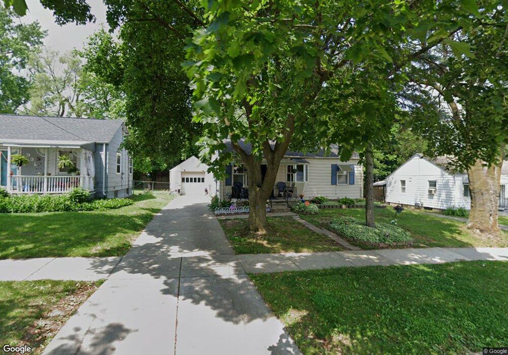
928 Hubbard Ave Flint, MI 48503
Mannhall Park NeighborhoodEstimated Value: $44,000 - $58,852
2
Beds
2
Baths
701
Sq Ft
$72/Sq Ft
Est. Value
About This Home
This home is located at 928 Hubbard Ave, Flint, MI 48503 and is currently estimated at $50,463, approximately $71 per square foot. 928 Hubbard Ave is a home located in Genesee County with nearby schools including Durant-Tuuri-Mott Elementary School, St. Paul Lutheran School, and First Flint Seventh-day Adventist Christian School.
Ownership History
Date
Name
Owned For
Owner Type
Purchase Details
Closed on
Mar 30, 2007
Sold by
Stone Steven T and Stone Denise L
Bought by
Miller Derese
Current Estimated Value
Create a Home Valuation Report for This Property
The Home Valuation Report is an in-depth analysis detailing your home's value as well as a comparison with similar homes in the area
Home Values in the Area
Average Home Value in this Area
Purchase History
| Date | Buyer | Sale Price | Title Company |
|---|---|---|---|
| Miller Derese | $38,500 | First American Title Ins Co |
Source: Public Records
Tax History
| Year | Tax Paid | Tax Assessment Tax Assessment Total Assessment is a certain percentage of the fair market value that is determined by local assessors to be the total taxable value of land and additions on the property. | Land | Improvement |
|---|---|---|---|---|
| 2025 | $1,215 | $22,400 | $0 | $0 |
| 2024 | $1,124 | $22,900 | $0 | $0 |
| 2023 | $1,097 | $20,100 | $0 | $0 |
| 2022 | $0 | $16,300 | $0 | $0 |
| 2021 | $1,113 | $14,000 | $0 | $0 |
| 2020 | $1,022 | $12,400 | $0 | $0 |
| 2019 | $998 | $11,300 | $0 | $0 |
| 2018 | $1,017 | $11,400 | $0 | $0 |
| 2017 | $993 | $0 | $0 | $0 |
| 2016 | $986 | $0 | $0 | $0 |
| 2015 | -- | $0 | $0 | $0 |
| 2014 | -- | $0 | $0 | $0 |
| 2012 | -- | $15,000 | $0 | $0 |
Source: Public Records
Map
Nearby Homes
- 916 Mann Ave
- 976 Barney Ave
- 960 Mann Ave
- 3302 Van Buren Ave
- 1017 Stocker Ave
- 863 Tacken St
- 911 Hughes Ave
- 874 Tacken St
- 870 Tacken St
- 3413 Augusta St
- 1122 Stocker Ave
- 3517 Norwood Dr
- 3801 Augusta St
- 1202 Knapp Ave
- 1308 Barney Ave
- 0000 Beecher Rd
- 932 Bradley Ave
- 3805 Brown St
- 3405 Sherwood Dr
- 2805 Reynolds St
- 932 Hubbard Ave
- 920 Hubbard Ave
- 929 S Ballenger Hwy
- 925 S Ballenger Hwy
- 936 Hubbard Ave
- 933 S Ballenger Hwy
- 916 Hubbard Ave
- 921 S Ballenger Hwy
- 937 S Ballenger Hwy
- 917 S Ballenger Hwy
- 929 Hubbard Ave
- 941 S Ballenger Hwy
- 923 Hubbard Ave
- 933 Hubbard Ave
- 939 Hubbard Ave
- 917 Hubbard Ave
- 945 S Ballenger Hwy
- 909 S Ballenger Hwy
- 948 Hubbard Ave
- 944 Hubbard Ave
Your Personal Tour Guide
Ask me questions while you tour the home.