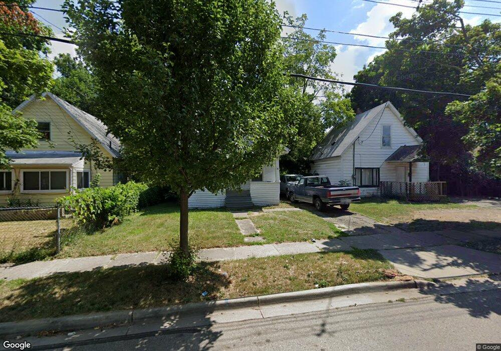
928 Johnson Ave Lansing, MI 48906
Northtown NeighborhoodEstimated Value: $65,000 - $103,000
3
Beds
1
Bath
990
Sq Ft
$91/Sq Ft
Est. Value
About This Home
This home is located at 928 Johnson Ave, Lansing, MI 48906 and is currently estimated at $90,182, approximately $91 per square foot. 928 Johnson Ave is a home located in Ingham County with nearby schools including Pattengill Academy, Willow School, and Eastern High School.
Ownership History
Date
Name
Owned For
Owner Type
Purchase Details
Closed on
May 14, 2009
Sold by
Austin Larry and Austin Karen
Bought by
Us Bank National Association
Current Estimated Value
Purchase Details
Closed on
Apr 1, 2004
Sold by
Abronowitz Kyle Marc and Abronowitz Mary Joan
Bought by
Austin Larry and Austin Karen
Home Financials for this Owner
Home Financials are based on the most recent Mortgage that was taken out on this home.
Original Mortgage
$58,500
Interest Rate
7.95%
Mortgage Type
Purchase Money Mortgage
Create a Home Valuation Report for This Property
The Home Valuation Report is an in-depth analysis detailing your home's value as well as a comparison with similar homes in the area
Home Values in the Area
Average Home Value in this Area
Purchase History
| Date | Buyer | Sale Price | Title Company |
|---|---|---|---|
| Us Bank National Association | $67,597 | None Available | |
| Austin Larry | $65,000 | Trans |
Source: Public Records
Mortgage History
| Date | Status | Borrower | Loan Amount |
|---|---|---|---|
| Previous Owner | Austin Larry | $58,500 |
Source: Public Records
Tax History
| Year | Tax Paid | Tax Assessment Tax Assessment Total Assessment is a certain percentage of the fair market value that is determined by local assessors to be the total taxable value of land and additions on the property. | Land | Improvement |
|---|---|---|---|---|
| 2025 | $1,707 | $45,800 | $4,000 | $41,800 |
| 2024 | $13 | $38,100 | $4,000 | $34,100 |
| 2023 | $1,603 | $32,600 | $4,000 | $28,600 |
| 2022 | $1,449 | $29,400 | $2,800 | $26,600 |
| 2021 | $1,419 | $26,500 | $4,000 | $22,500 |
| 2020 | $1,410 | $24,400 | $4,000 | $20,400 |
| 2019 | $1,349 | $22,900 | $4,000 | $18,900 |
| 2018 | $1,267 | $20,900 | $4,000 | $16,900 |
| 2017 | $1,581 | $20,900 | $4,000 | $16,900 |
| 2016 | $2,096 | $20,500 | $4,000 | $16,500 |
| 2015 | $2,096 | $20,100 | $8,061 | $12,039 |
| 2014 | $2,096 | $20,000 | $8,061 | $11,939 |
Source: Public Records
Map
Nearby Homes
- 1022 Persons Ct
- 1107 May St
- 1035 May St
- 925 May St
- 1102 Clark St
- 1323 E César E Chávez Ave
- 927 Mahlon St
- 1013 Mahlon St
- 1428 E César E Chávez Ave
- 721 Clark St
- 1440 E César E Chávez Ave
- 941 Maryland Ave
- 1440 E Oakland Ave
- 649 Worthington Dr Unit 5
- 901 E César E Chávez Ave
- 1312 Otto St
- 1311 Illinois Ave
- 602 N Pennsylvania Ave
- 1317 Illinois Ave
- 1415 New York Ave
- 930 Johnson Ave
- 924 Johnson Ave
- 1004 Johnson Ave
- 920 Johnson Ave
- 1006 Johnson Ave
- 916 Johnson Ave
- 927 Farrand St
- 1001 Farrand St
- 923 Farrand St
- 1005 Farrand St
- 921 Farrand St
- 914 Johnson Ave
- 1010 Johnson Ave
- 929 Farrand St
- 917 Farrand St
- 1011 Farrand St
- 1014 Johnson Ave
- 927 Johnson Ave
- 1027 Cady Ct
- 915 Farrand St
Your Personal Tour Guide
Ask me questions while you tour the home.