928 N Bluff Rd Collinsville, IL 62234
Estimated Value: $229,097 - $290,000
2
Beds
1
Bath
2,024
Sq Ft
$128/Sq Ft
Est. Value
About This Home
This home is located at 928 N Bluff Rd, Collinsville, IL 62234 and is currently estimated at $259,032, approximately $127 per square foot. 928 N Bluff Rd is a home located in Madison County with nearby schools including Maryville Elementary School, Dorris Intermediate School, and Collinsville Middle School.
Ownership History
Date
Name
Owned For
Owner Type
Purchase Details
Closed on
Aug 14, 2019
Sold by
Hischke Deborah J
Bought by
Herberts Deborah J and Herberts Tim W
Current Estimated Value
Purchase Details
Closed on
Dec 29, 2016
Sold by
Phillips Janice K
Bought by
Hischke Deborah J
Home Financials for this Owner
Home Financials are based on the most recent Mortgage that was taken out on this home.
Original Mortgage
$43,500
Interest Rate
4.6%
Mortgage Type
Purchase Money Mortgage
Create a Home Valuation Report for This Property
The Home Valuation Report is an in-depth analysis detailing your home's value as well as a comparison with similar homes in the area
Home Values in the Area
Average Home Value in this Area
Purchase History
| Date | Buyer | Sale Price | Title Company |
|---|---|---|---|
| Herberts Deborah J | -- | None Available | |
| Hischke Deborah J | $55,000 | Abstracts And Titles |
Source: Public Records
Mortgage History
| Date | Status | Borrower | Loan Amount |
|---|---|---|---|
| Previous Owner | Hischke Deborah J | $43,500 |
Source: Public Records
Tax History Compared to Growth
Tax History
| Year | Tax Paid | Tax Assessment Tax Assessment Total Assessment is a certain percentage of the fair market value that is determined by local assessors to be the total taxable value of land and additions on the property. | Land | Improvement |
|---|---|---|---|---|
| 2024 | $4,344 | $73,950 | $12,480 | $61,470 |
| 2023 | $4,344 | $68,450 | $11,550 | $56,900 |
| 2022 | $2,465 | $60,980 | $10,340 | $50,640 |
| 2021 | $1,816 | $57,290 | $9,710 | $47,580 |
| 2020 | $1,651 | $54,660 | $9,260 | $45,400 |
| 2019 | $1,371 | $19,480 | $8,940 | $10,540 |
| 2018 | $1,357 | $18,690 | $8,640 | $10,050 |
| 2017 | $1,359 | $18,320 | $8,470 | $9,850 |
| 2016 | $2,214 | $28,330 | $8,470 | $19,860 |
| 2015 | $133 | $27,590 | $8,250 | $19,340 |
| 2014 | $133 | $27,590 | $8,250 | $19,340 |
| 2013 | $133 | $27,590 | $8,250 | $19,340 |
Source: Public Records
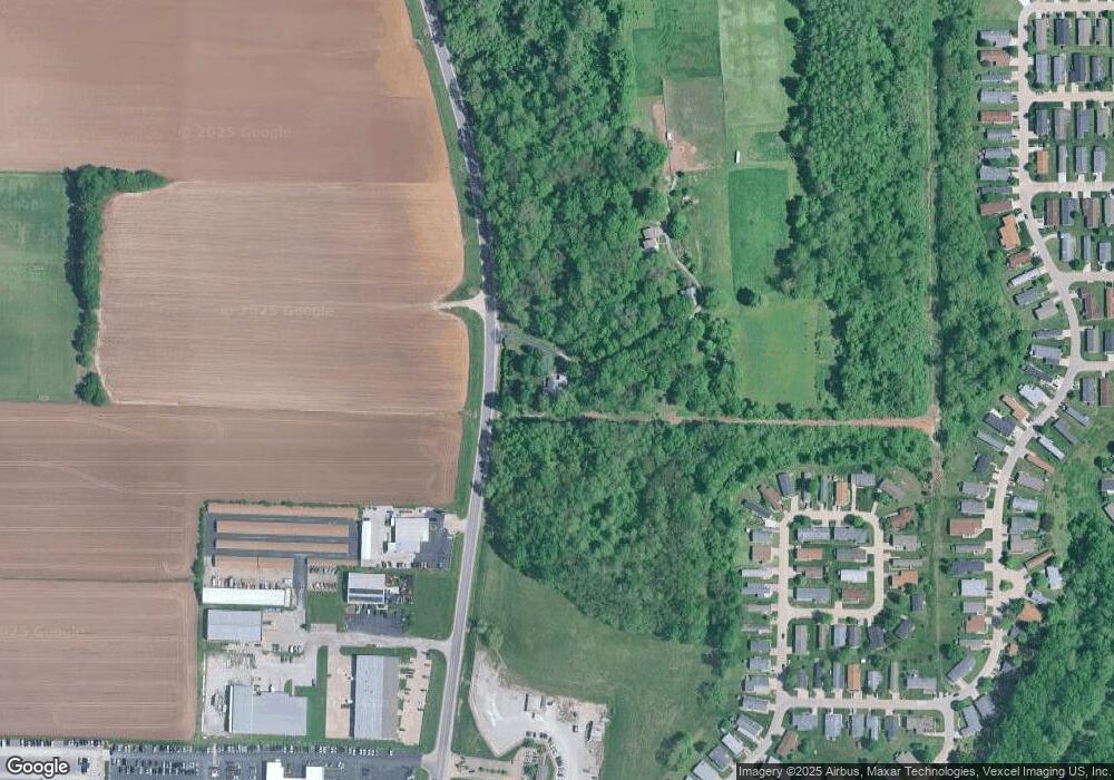
Map
Nearby Homes
- 2007 Belt Line Rd
- 10 White Lily Dr
- 414 Bunker Hill Dr
- 22 Brookwood Dr
- 1059 Lafayette Ct Unit A
- 1035 Lafayette Ct Unit B
- 1051 Lafayette Ct Unit A
- 5 Brookwood Dr
- 1121 Carraway Ct
- 0 Mabry Dr
- 1224 Cedar Ridge Ct
- 0 N Keebler Ave
- 6 Doe Run Trail
- 100 Debbie Dr
- 203 Greenfield Dr
- 123 Elliot St
- 625 W Country Ln
- 0 Strong Ave
- 1120 Williams St
- 308 Brown Ave
- 1 Business Center Ct
- 29 Pheasant Glen
- 36 Pheasant Glen
- 32 Pheasant Glen
- 72 Woodland Trails Dr
- 62 Woodland Trails Dr
- 66 Quail Run
- 103 Woodland Trails Dr
- 102 Woodland Trails Dr
- 227 Woodland Trails Dr
- 200 Woodland Trails Dr
- 110 Woodland Trails Dr
- 99 Deer Chase
- 184 Woodland Trails Dr
- 266 Woodland Trails Dr
- 247 Woodland Trails Dr
- 260 Silver Fox Crossing
- 159 Woodland Trails Dr
- 85 Deer Chase
- 248 Woodland Trails Dr