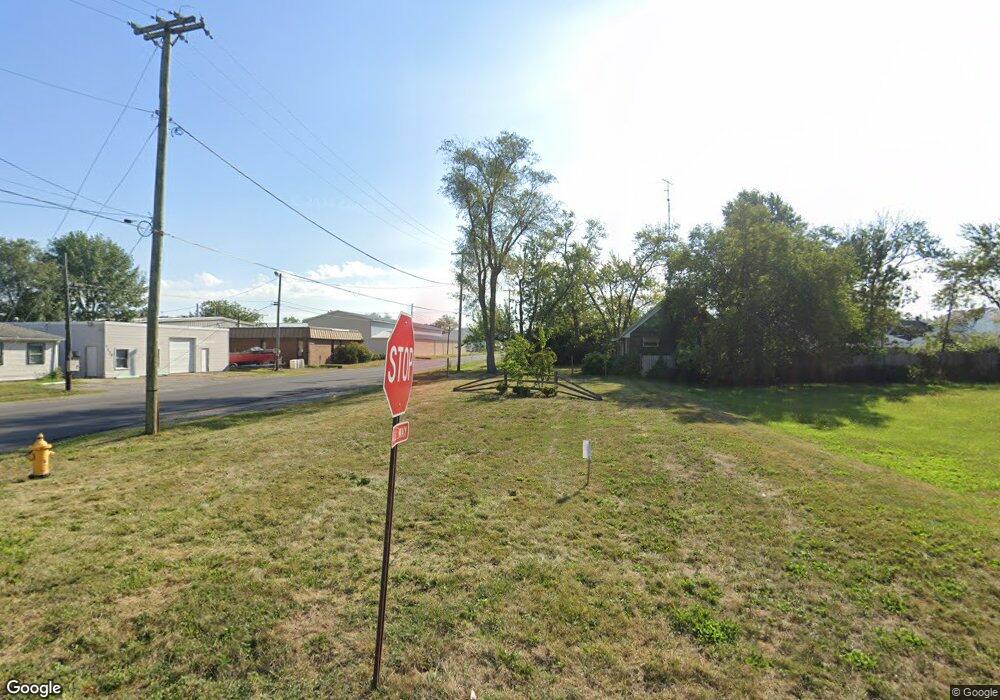
928 N Cole St Lima, OH 45805
Central Lima NeighborhoodEstimated Value: $116,000
2
Beds
1
Bath
1,216
Sq Ft
$95/Sq Ft
Est. Value
About This Home
This home is located at 928 N Cole St, Lima, OH 45805 and is currently priced at $116,000, approximately $95 per square foot. 928 N Cole St is a home located in Allen County with nearby schools including Heritage Elementary School, Lima North Middle School, and Lima West Middle School.
Ownership History
Date
Name
Owned For
Owner Type
Purchase Details
Closed on
Mar 31, 2023
Sold by
Allen County Land Reutilization Corporat
Bought by
City Of Lima Ohio
Current Estimated Value
Purchase Details
Closed on
Aug 23, 2017
Sold by
Short Michael J
Bought by
Allen County Land Reutilization Corp
Purchase Details
Closed on
Sep 12, 1988
Bought by
Sipes Ronald D
Create a Home Valuation Report for This Property
The Home Valuation Report is an in-depth analysis detailing your home's value as well as a comparison with similar homes in the area
Home Values in the Area
Average Home Value in this Area
Purchase History
| Date | Buyer | Sale Price | Title Company |
|---|---|---|---|
| City Of Lima Ohio | -- | None Listed On Document | |
| Allen County Land Reutilization Corp | -- | None Available | |
| Sipes Ronald D | -- | -- |
Source: Public Records
Tax History Compared to Growth
Tax History
| Year | Tax Paid | Tax Assessment Tax Assessment Total Assessment is a certain percentage of the fair market value that is determined by local assessors to be the total taxable value of land and additions on the property. | Land | Improvement |
|---|---|---|---|---|
| 2024 | $79 | $1,090 | $1,090 | -- |
| 2023 | $122 | $950 | $950 | $0 |
| 2022 | $82 | $950 | $950 | $0 |
| 2021 | $79 | $950 | $950 | $0 |
| 2020 | $75 | $950 | $950 | $0 |
| 2019 | $75 | $950 | $950 | $0 |
| 2018 | $400 | $950 | $950 | $0 |
| 2017 | $1,391 | $8,650 | $2,000 | $6,650 |
| 2016 | $72 | $8,650 | $2,000 | $6,650 |
| 2015 | $137 | $8,650 | $2,000 | $6,650 |
| 2014 | $137 | $10,260 | $2,140 | $8,120 |
| 2013 | $137 | $10,260 | $2,140 | $8,120 |
Source: Public Records
Map
Nearby Homes
- 1206 Rice Ave
- 1023 Leland Ave
- 1120 Richie Ave
- 676 Cortlandt Ave
- 0 Sherman Ave
- 618 Woodward Ave
- 621 Fairfield Dr
- 765 Ewing Ave
- 648 Hazel Ave
- 638 Hazel Ave
- 631 Hazel Ave
- 1517 Allentown Rd
- 607 W Grand Ave
- 849 Runyan Ave
- 1116 Belvidere Ave
- 576 Cortlandt Ave
- 1036 W High St
- 765 W O'Connor Ave
- 1580 W Robb Ave
- 1719 Latham Ave