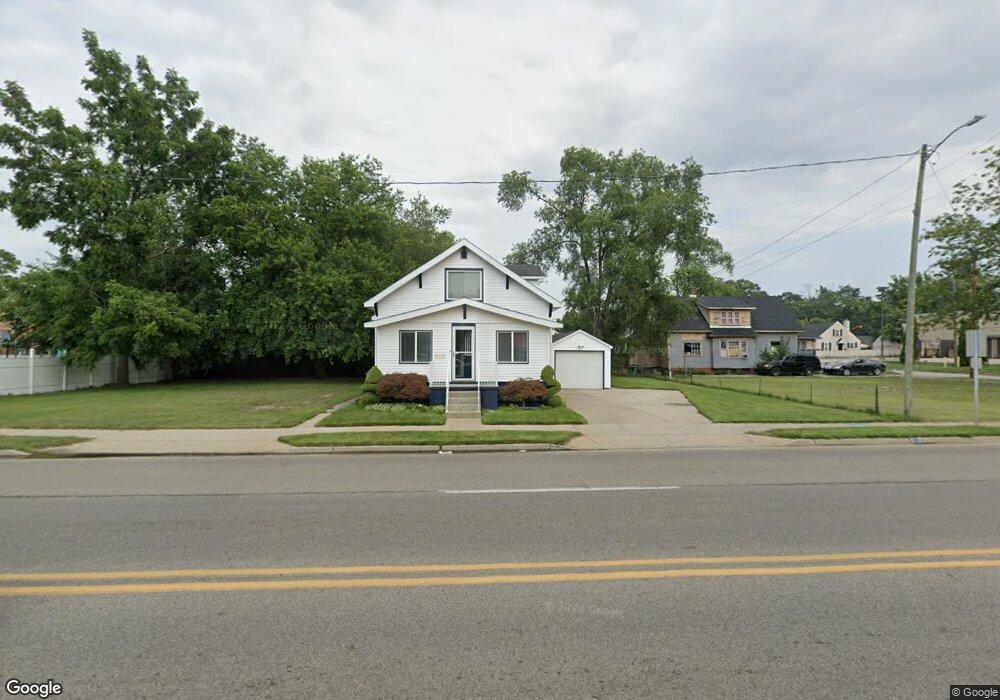
928 S Getty St Muskegon, MI 49442
Steele NeighborhoodEstimated Value: $161,000 - $177,853
3
Beds
1
Bath
1,392
Sq Ft
$121/Sq Ft
Est. Value
About This Home
This home is located at 928 S Getty St, Muskegon, MI 49442 and is currently estimated at $167,963, approximately $120 per square foot. 928 S Getty St is a home located in Muskegon County with nearby schools including Three Oaks Public School Academy, Muskegon Maritime Academy, and Muskegan Christian School.
Ownership History
Date
Name
Owned For
Owner Type
Purchase Details
Closed on
Jul 17, 2015
Sold by
City Of Muskegon
Bought by
Quinn Leroy and Quinn Denise
Current Estimated Value
Purchase Details
Closed on
Dec 18, 2013
Sold by
Muskegon County Treasurers Office For Th
Bought by
City Of Muskegon
Purchase Details
Closed on
Mar 11, 2011
Sold by
Asset Island Inc
Bought by
Mma Of The Carolinas Llc
Purchase Details
Closed on
Oct 25, 2010
Sold by
County Of Muskegon
Bought by
Asset Island Inc
Create a Home Valuation Report for This Property
The Home Valuation Report is an in-depth analysis detailing your home's value as well as a comparison with similar homes in the area
Home Values in the Area
Average Home Value in this Area
Purchase History
| Date | Buyer | Sale Price | Title Company |
|---|---|---|---|
| Quinn Leroy | -- | None Available | |
| City Of Muskegon | -- | None Available | |
| Mma Of The Carolinas Llc | $490 | Rei | |
| Asset Island Inc | $150 | None Available |
Source: Public Records
Tax History Compared to Growth
Tax History
| Year | Tax Paid | Tax Assessment Tax Assessment Total Assessment is a certain percentage of the fair market value that is determined by local assessors to be the total taxable value of land and additions on the property. | Land | Improvement |
|---|---|---|---|---|
| 2025 | $1,470 | $78,700 | $0 | $0 |
| 2024 | $388 | $65,400 | $0 | $0 |
| 2023 | $371 | $56,800 | $0 | $0 |
| 2022 | $1,374 | $41,700 | $0 | $0 |
| 2021 | $1,350 | $35,600 | $0 | $0 |
| 2020 | $1,310 | $31,100 | $0 | $0 |
| 2019 | $1,286 | $28,200 | $0 | $0 |
| 2018 | $1,278 | $28,000 | $0 | $0 |
| 2017 | $1,266 | $28,500 | $0 | $0 |
| 2016 | $330 | $27,900 | $0 | $0 |
| 2015 | -- | $0 | $0 | $0 |
| 2014 | -- | $0 | $0 | $0 |
| 2013 | -- | $0 | $0 | $0 |
Source: Public Records
Map
Nearby Homes
- 725 Allen Ave
- 719 E Apple Ave
- 917 E Apple Ave
- 1022 Kenneth St
- 846 E Isabella Ave
- 877 E Isabella Ave
- 613 Orchard Ave
- 581 Amity Ave
- 846 Catherine Ave
- 1135 Holt St
- 1044 E Apple Ave
- 558 E Apple Ave
- 1068 Ada Ave
- 1082 E Apple Ave
- 1059 Ada Ave
- 517 Allen Ave
- 513 E Apple Ave
- 590 Catherine Ave
- 503 Orchard Ave
- 712 Evanston Ave