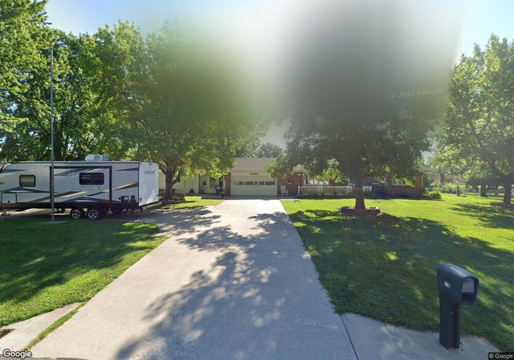
928 Saint Charles St Moberly, MO 65270
Estimated Value: $189,000 - $221,000
2
Beds
3
Baths
1,560
Sq Ft
$131/Sq Ft
Est. Value
About This Home
This home is located at 928 Saint Charles St, Moberly, MO 65270 and is currently estimated at $205,045, approximately $131 per square foot. 928 Saint Charles St is a home located in Randolph County with nearby schools including Moberly Senior High School, St. Pius X. Catholic School, and Maranatha Seventh-day Adventist School.
Ownership History
Date
Name
Owned For
Owner Type
Purchase Details
Closed on
Oct 29, 2010
Sold by
Litchfield Donald E
Bought by
Martel Douglas and Martel Latonia
Current Estimated Value
Home Financials for this Owner
Home Financials are based on the most recent Mortgage that was taken out on this home.
Original Mortgage
$148,000
Interest Rate
4.36%
Create a Home Valuation Report for This Property
The Home Valuation Report is an in-depth analysis detailing your home's value as well as a comparison with similar homes in the area
Home Values in the Area
Average Home Value in this Area
Purchase History
| Date | Buyer | Sale Price | Title Company |
|---|---|---|---|
| Martel Douglas | $148,000 | -- |
Source: Public Records
Mortgage History
| Date | Status | Borrower | Loan Amount |
|---|---|---|---|
| Closed | Martel Douglas | $148,000 |
Source: Public Records
Tax History Compared to Growth
Tax History
| Year | Tax Paid | Tax Assessment Tax Assessment Total Assessment is a certain percentage of the fair market value that is determined by local assessors to be the total taxable value of land and additions on the property. | Land | Improvement |
|---|---|---|---|---|
| 2025 | $2,380 | $35,290 | $2,841 | $32,449 |
| 2024 | $2,380 | $32,680 | $2,470 | $30,210 |
| 2023 | $2,416 | $32,680 | $2,470 | $30,210 |
| 2022 | $2,263 | $31,420 | $2,470 | $28,950 |
| 2021 | $2,261 | $31,420 | $2,470 | $28,950 |
| 2020 | $2,261 | $31,420 | $2,470 | $28,950 |
| 2019 | $2,256 | $31,420 | $2,470 | $28,950 |
| 2018 | $2,266 | $31,650 | $2,470 | $29,180 |
| 2017 | $2,261 | $31,650 | $0 | $0 |
| 2016 | $2,151 | $30,270 | $0 | $0 |
| 2014 | -- | $28,360 | $0 | $0 |
| 2013 | -- | $28,360 | $0 | $0 |
| 2012 | -- | $28,030 | $0 | $0 |
Source: Public Records
Map
Nearby Homes
- 625 Franklin Ave
- 720 Saint Charles St
- 609 Franklin Ave
- 523 Morehead St
- 1101 Stonebridge Ln
- 619 Madison Ave
- Lot 11 Stonebridge Lane (Plat 2)
- Lot 10 Stonebridge Lane (Plat 2)
- 1102 N Morley St
- 511 Union Ave
- 664 & 668 N Ault St
- 602 Vincil St
- 531 Farror St
- 812 N Moulton St
- 524 Barrow St
- 101 N Ault St
- 428 Woodland Ave
- LOT 5 Robertson Road & Highway 24
- 718 E Logan St
- LOT 4 Robertson Road & Highway 24
- 900 Sinnock Ave
- 906 Sinnock Ave
- 922 Saint Charles St
- 929 Saint Charles St
- 912 Sinnock Ave
- 925 Saint Charles St
- 921 Saint Charles St
- 822 Sinnock Ave
- 901 Sinnock Ave
- 818 Sinnock Ave
- 917 Saint Charles St
- 914 Sinnock Ave
- 914 Saint Charles St
- 814 Sinnock Ave
- 905 Sinnock Ave
- 919 Saint Charles St
- 810 Sinnock Ave
- 915 Saint Charles St
- 908 Saint Charles St
- 907 Sinnock Ave