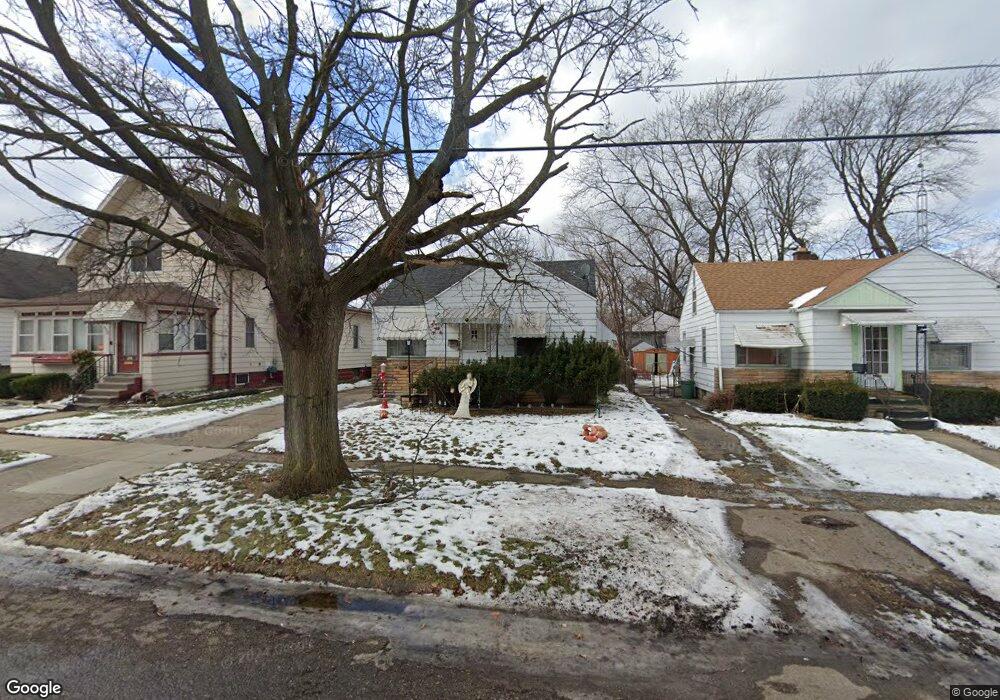
928 Stocker Ave Flint, MI 48503
Mannhall Park NeighborhoodEstimated Value: $41,000 - $51,583
2
Beds
1
Bath
724
Sq Ft
$63/Sq Ft
Est. Value
About This Home
This home is located at 928 Stocker Ave, Flint, MI 48503 and is currently estimated at $45,396, approximately $62 per square foot. 928 Stocker Ave is a home located in Genesee County with nearby schools including Durant-Tuuri-Mott Elementary School, St. Paul Lutheran School, and First Flint Seventh-day Adventist Christian School.
Ownership History
Date
Name
Owned For
Owner Type
Purchase Details
Closed on
Oct 13, 2017
Sold by
Alpha To Omega Properties Llc
Bought by
Cook Marvin and Freeman Stephanie
Current Estimated Value
Purchase Details
Closed on
Aug 14, 2008
Sold by
Winget N Matthew
Bought by
Alpha To Omega Properties Llc
Purchase Details
Closed on
Aug 13, 2008
Sold by
Winget N Matthew and Winget Monica
Bought by
Winget N Matthew
Purchase Details
Closed on
May 10, 1999
Sold by
Greer Timothy K and Greer Leslie A
Bought by
Linden Creek Enterprises Llc
Create a Home Valuation Report for This Property
The Home Valuation Report is an in-depth analysis detailing your home's value as well as a comparison with similar homes in the area
Home Values in the Area
Average Home Value in this Area
Purchase History
| Date | Buyer | Sale Price | Title Company |
|---|---|---|---|
| Cook Marvin | $22,000 | None Available | |
| Alpha To Omega Properties Llc | $20,000 | Cislo Title Co | |
| Winget N Matthew | -- | Cislo Title Co | |
| Linden Creek Enterprises Llc | $43,000 | Lawyers Title Insurance Corp |
Source: Public Records
Tax History
| Year | Tax Paid | Tax Assessment Tax Assessment Total Assessment is a certain percentage of the fair market value that is determined by local assessors to be the total taxable value of land and additions on the property. | Land | Improvement |
|---|---|---|---|---|
| 2025 | $747 | $15,900 | $0 | $0 |
| 2024 | $685 | $16,000 | $0 | $0 |
| 2023 | $678 | $13,400 | $0 | $0 |
| 2022 | $0 | $11,200 | $0 | $0 |
| 2021 | $699 | $10,000 | $0 | $0 |
| 2020 | $639 | $8,900 | $0 | $0 |
| 2019 | $628 | $7,700 | $0 | $0 |
| 2018 | $696 | $9,200 | $0 | $0 |
| 2017 | $862 | $0 | $0 | $0 |
| 2016 | $857 | $0 | $0 | $0 |
| 2015 | -- | $0 | $0 | $0 |
| 2014 | -- | $0 | $0 | $0 |
| 2012 | -- | $12,600 | $0 | $0 |
Source: Public Records
Map
Nearby Homes
- 916 Mann Ave
- 960 Mann Ave
- 976 Barney Ave
- 911 Hughes Ave
- 3302 Van Buren Ave
- 1017 Stocker Ave
- 932 Bradley Ave
- 1122 Stocker Ave
- 2663 W Court St
- 1202 Knapp Ave
- 3517 Norwood Dr
- 2805 Reynolds St
- 3413 Augusta St
- 612 Bradley Ave
- 3405 Sherwood Dr
- 1114 Clancy Ave
- 0000 Beecher Rd
- 1308 Barney Ave
- 863 Tacken St
- 3320 Pencombe Place
Your Personal Tour Guide
Ask me questions while you tour the home.