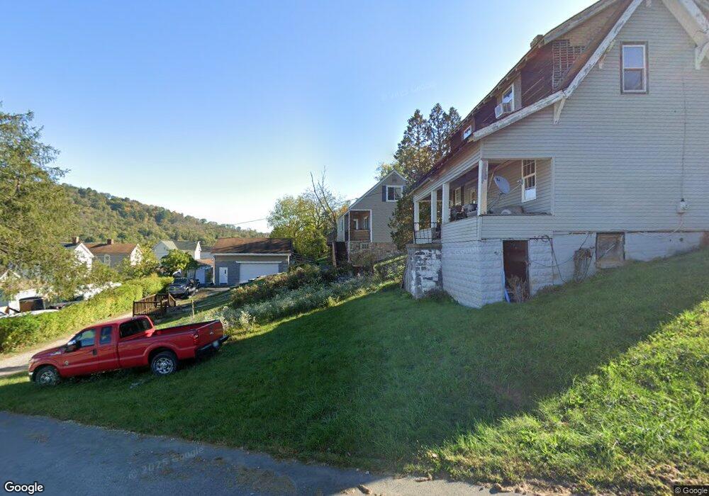
928 W Bennett St Bridgeport, OH 43912
Estimated Value: $76,000 - $136,127
3
Beds
2
Baths
1,690
Sq Ft
$69/Sq Ft
Est. Value
About This Home
This home is located at 928 W Bennett St, Bridgeport, OH 43912 and is currently estimated at $116,282, approximately $68 per square foot. 928 W Bennett St is a home located in Belmont County with nearby schools including Bridgeport Elementary School, Bridgeport Middle School, and Bridgeport High School.
Ownership History
Date
Name
Owned For
Owner Type
Purchase Details
Closed on
May 17, 2010
Sold by
Vitale Robert E and Vitale Kimberly J
Bought by
Conrad Debbie A
Current Estimated Value
Purchase Details
Closed on
Apr 24, 1995
Sold by
Vitale Robert E and Vitale Kimberl
Bought by
Vitale Robert E and Vitale Kimberl
Purchase Details
Closed on
Jan 1, 1986
Sold by
Westlake Terence J
Bought by
Westlake Terence J
Create a Home Valuation Report for This Property
The Home Valuation Report is an in-depth analysis detailing your home's value as well as a comparison with similar homes in the area
Purchase History
| Date | Buyer | Sale Price | Title Company |
|---|---|---|---|
| Conrad Debbie A | $75,000 | Attorney | |
| Vitale Robert E | $55,600 | -- | |
| Westlake Terence J | -- | -- |
Source: Public Records
Tax History
| Year | Tax Paid | Tax Assessment Tax Assessment Total Assessment is a certain percentage of the fair market value that is determined by local assessors to be the total taxable value of land and additions on the property. | Land | Improvement |
|---|---|---|---|---|
| 2025 | $1,201 | $39,090 | $3,980 | $35,110 |
| 2023 | $1,187 | $26,040 | $3,400 | $22,640 |
| 2022 | $1,125 | $26,044 | $3,402 | $22,642 |
| 2021 | $1,120 | $26,044 | $3,402 | $22,642 |
| 2020 | $914 | $21,710 | $2,840 | $18,870 |
| 2019 | $916 | $21,710 | $2,840 | $18,870 |
| 2018 | $937 | $21,710 | $2,840 | $18,870 |
| 2017 | $1,102 | $23,730 | $1,900 | $21,830 |
| 2016 | $1,107 | $23,730 | $1,900 | $21,830 |
| 2015 | $1,102 | $23,730 | $1,900 | $21,830 |
| 2014 | $946 | $19,630 | $1,730 | $17,900 |
| 2013 | $871 | $19,630 | $1,730 | $17,900 |
Source: Public Records
Map
Nearby Homes
- 822 W Bennett St
- 806 Howard St
- 629 1/2 Howard St
- 836 Main St
- 844 National Rd
- 866 Main St
- 44 Mann St
- 67478 Kirkwood Heights Rd
- 4 Walnut Ave
- 67540 Kirkwood Heights Rd
- 67531 Kirkwood Heights Rd
- TBD Alexander Rd
- 308 Whitely St
- 225 Jacquette St
- 219 Whitely St
- 67730 Kirkwood Heights Rd
- 56624 Boyd Ave
- 244 Lombardy Heights
- 26 Elm St
- 149 Virginia St
- 934 W Bennett St
- 922 W Bennett St
- 929 Howard St
- 927 Howard St
- 927 Howard St
- 929 W Bennett St
- 933 W Bennett St
- 925 W Bennett St
- 1002 Minellen Dr
- 935 W Bennett St
- 935 W Bennett St
- 921 Howard St
- 921 Howard St
- 1001 Howard St
- 918 W Bennett St
- 921 W Bennett St
- 937 W Bennett St
- 1003 Howard St
- 1005 Howard St
- 1007 Howard St
Your Personal Tour Guide
Ask me questions while you tour the home.