92804 N Meadow Ln Coos Bay, OR 97420
Estimated Value: $275,339 - $298,000
2
Beds
1
Bath
1,103
Sq Ft
$260/Sq Ft
Est. Value
About This Home
This home is located at 92804 N Meadow Ln, Coos Bay, OR 97420 and is currently estimated at $286,670, approximately $259 per square foot. 92804 N Meadow Ln is a home located in Coos County with nearby schools including Eastside School, Millicoma School, and Marshfield Senior High School.
Ownership History
Date
Name
Owned For
Owner Type
Purchase Details
Closed on
Feb 7, 2012
Sold by
Eversole Keith W and Eversole Deborah J
Bought by
Eversole Daniel and Eversole Kimberly
Current Estimated Value
Home Financials for this Owner
Home Financials are based on the most recent Mortgage that was taken out on this home.
Original Mortgage
$80,000
Outstanding Balance
$54,729
Interest Rate
3.86%
Mortgage Type
Purchase Money Mortgage
Estimated Equity
$231,941
Purchase Details
Closed on
Sep 9, 2005
Sold by
Farley Mary
Bought by
Eversole Keith W and Eversole Deborah J
Create a Home Valuation Report for This Property
The Home Valuation Report is an in-depth analysis detailing your home's value as well as a comparison with similar homes in the area
Home Values in the Area
Average Home Value in this Area
Purchase History
| Date | Buyer | Sale Price | Title Company |
|---|---|---|---|
| Eversole Daniel | $65,000 | Ticor Title Company | |
| Eversole Keith W | $105,000 | Accommodation | |
| Eversole Keith W | $105,000 | Fidelity National Title Co |
Source: Public Records
Mortgage History
| Date | Status | Borrower | Loan Amount |
|---|---|---|---|
| Open | Eversole Daniel | $80,000 |
Source: Public Records
Tax History Compared to Growth
Tax History
| Year | Tax Paid | Tax Assessment Tax Assessment Total Assessment is a certain percentage of the fair market value that is determined by local assessors to be the total taxable value of land and additions on the property. | Land | Improvement |
|---|---|---|---|---|
| 2024 | $1,376 | $98,220 | -- | -- |
| 2023 | $1,338 | $95,360 | $0 | $0 |
| 2022 | $1,323 | $92,590 | $0 | $0 |
| 2021 | $1,293 | $89,900 | $0 | $0 |
| 2020 | $1,262 | $89,900 | $0 | $0 |
| 2019 | $1,213 | $84,750 | $0 | $0 |
| 2018 | $1,176 | $82,290 | $0 | $0 |
| 2017 | $972 | $79,900 | $0 | $0 |
| 2016 | $941 | $77,580 | $0 | $0 |
| 2015 | $919 | $75,330 | $0 | $0 |
| 2014 | $880 | $73,140 | $0 | $0 |
Source: Public Records
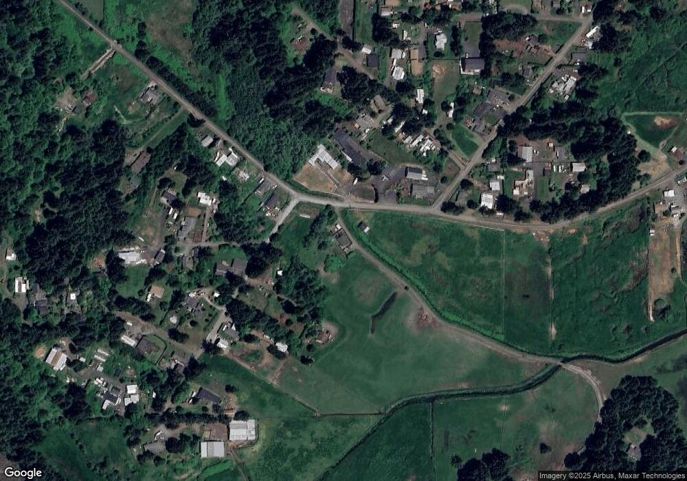
Map
Nearby Homes
- 0 Poppy Ct
- 92688 Libby Ln
- 62967 Rosebud Dr
- 63559 Shinglehouse Rd
- 93126 Sneddon Ln
- 92631 Rainier Ln
- 2250 S 17th St
- 0 Pennsylvania Ave Unit 23250131
- 0 Idaho Dr Unit 300 21226511
- 1923 Idaho Dr
- 0 California Ave
- 62974 Shinglehouse Rd
- 1194 Oregon Ave
- 1123 Oregon Ave
- 1138 Oregon Ave
- 1169 Washington Ave
- 0 Wrecking Rd
- 1351 Dakota St
- 1348 Dakota Ave
- 0 Minnesota
- 62994 Pansy Rd
- 62886 Red Dyke Rd
- 62965 Pansy Rd
- 62874 Red Dyke Rd
- 62829 Red Dyke Rd
- 62963 Pansy Rd
- 92794 Cooly Rd
- 62960 Pansy Rd
- 92812 Cooly Rd
- 62943 Pansy Rd
- 62912 Red Dyke Rd
- 92792 Cooly Rd
- 62807 Red Dyke Rd
- 62824 Poppy Rd
- 0 Cooley Ln
- 63007 Fruitdale Rd
- 62825 Poppy Rd
- 92776 Cooley Ln
- 62948 Pansy Rd
- 92799 Cooley Ln