Estimated Value: $166,076 - $222,000
2
Beds
1
Bath
818
Sq Ft
$231/Sq Ft
Est. Value
About This Home
This home is located at 9287 River Rd Unit 10, Clay, MI 48001 and is currently estimated at $189,019, approximately $231 per square foot. 9287 River Rd Unit 10 is a home located in St. Clair County with nearby schools including Algonac Junior/Senior High School.
Ownership History
Date
Name
Owned For
Owner Type
Purchase Details
Closed on
Mar 6, 2023
Sold by
Capalbo Richard A and Capalbo Kathy
Bought by
Westrick Lori A
Current Estimated Value
Purchase Details
Closed on
Feb 10, 2023
Sold by
Capalbo Richard A and Capalbo Kathy
Bought by
Westrick Lori A
Purchase Details
Closed on
Aug 15, 2005
Sold by
Fournier Phyllis M
Bought by
Welchner Kurt
Home Financials for this Owner
Home Financials are based on the most recent Mortgage that was taken out on this home.
Original Mortgage
$77,600
Interest Rate
5.8%
Mortgage Type
FHA
Create a Home Valuation Report for This Property
The Home Valuation Report is an in-depth analysis detailing your home's value as well as a comparison with similar homes in the area
Home Values in the Area
Average Home Value in this Area
Purchase History
| Date | Buyer | Sale Price | Title Company |
|---|---|---|---|
| Westrick Lori A | $140,000 | Liberty Title | |
| Westrick Lori A | $140,000 | Liberty Title | |
| Welchner Kurt | $80,000 | Bayshore Title Agency |
Source: Public Records
Mortgage History
| Date | Status | Borrower | Loan Amount |
|---|---|---|---|
| Previous Owner | Welchner Kurt | $77,600 |
Source: Public Records
Tax History Compared to Growth
Tax History
| Year | Tax Paid | Tax Assessment Tax Assessment Total Assessment is a certain percentage of the fair market value that is determined by local assessors to be the total taxable value of land and additions on the property. | Land | Improvement |
|---|---|---|---|---|
| 2025 | $1,727 | $68,500 | $0 | $0 |
| 2024 | $1,021 | $52,700 | $0 | $0 |
| 2023 | $788 | $46,700 | $0 | $0 |
| 2022 | $1,248 | $42,500 | $0 | $0 |
| 2021 | $1,178 | $41,000 | $0 | $0 |
| 2020 | $1,165 | $41,400 | $41,400 | $0 |
| 2019 | $1,147 | $38,700 | $0 | $0 |
| 2018 | $1,126 | $34,000 | $0 | $0 |
| 2017 | $1,031 | $33,300 | $0 | $0 |
| 2016 | $430 | $33,300 | $0 | $0 |
| 2015 | -- | $32,700 | $32,700 | $0 |
| 2014 | -- | $30,500 | $30,500 | $0 |
| 2013 | -- | $23,900 | $0 | $0 |
Source: Public Records
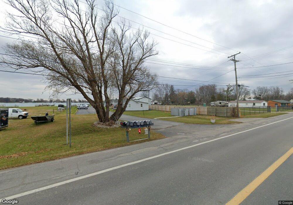
Map
Nearby Homes
- 9287 River Rd Unit 4
- 9404 N River Rd
- 9591 River Rd
- 9200 River Rd Unit 3
- 9898 N River Rd
- 8600 River Rd
- 0 Benoit Rd Unit 50174714
- 5700 Jankow Rd
- 345 Colonial Ln
- 125 North Ave
- 2037 Saint Clair River Dr
- 474 South St
- 00 Roselawn St
- 0000 Lee St
- 144 Channelsyde Dr
- 114 Interlochen Dr
- 130 Delta Dr
- 1607 Michigan St
- 1019 Nautical Ln
- 618 Green St
- 9287 River Rd
- 9287 River Rd Unit 9 UNIT
- 9287 River Rd
- 9287 River Rd Unit 10
- 9287 River Rd Unit 9
- 9287 River Rd Unit 8
- 9287 River Rd
- 9287 River Rd Unit 5
- 9287 River Rd Unit 4
- 9287 River Rd Unit 3
- 9287 River Rd Unit 2
- 9287 River Rd Unit 1
- 9287 River Rd Unit 6
- 9287 N River #9 Unit
- 9287 River Rd
- 9287 River Rd Unit 4
- 9287 River Rd Unit 8
- 9287 River Rd Unit 7
- 9287 River Rd
- 9305 River Rd