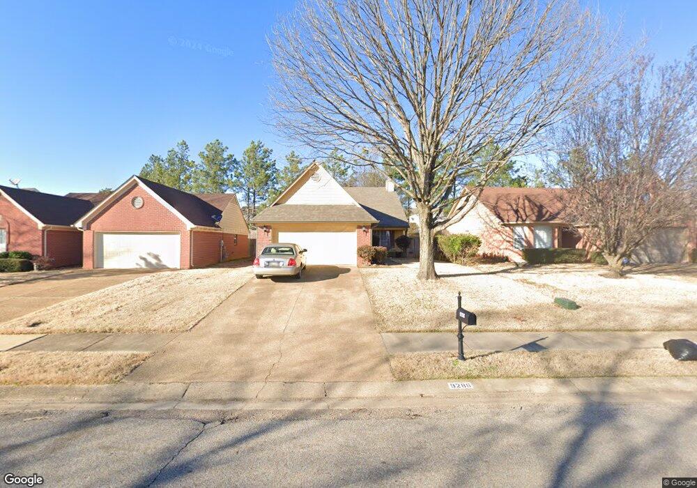
9288 Huron Dr Olive Branch, MS 38654
Olive Branch AreaEstimated Value: $230,000 - $259,000
About This Home
This home is located at 9288 Huron Dr, Olive Branch, MS 38654 and is currently estimated at $249,326, approximately $198 per square foot. 9288 Huron Dr is a home located in DeSoto County with nearby schools including Overpark Elementary School, Center Hill High School, and Desoto Christian Academy.
Ownership History
We collect this data history from publicly available records. To have your information removed, we recommend requesting removal directly through your county’s website.
Purchase Details
Home Financials for this Owner
Home Financials are based on the most recent Mortgage that was taken out on this home.Purchase Details
Home Financials for this Owner
Home Financials are based on the most recent Mortgage that was taken out on this home.Home Values in the Area
Average Home Value in this Area
Purchase History
We collect this data history from publicly available records. To have your information removed, we recommend requesting removal directly through your county’s website.
| Date | Buyer | Sale Price | Title Company |
|---|---|---|---|
| -- | None Listed On Document | ||
| -- | Multiple |
Mortgage History
We collect this data history from publicly available records. To have your information removed, we recommend requesting removal directly through your county’s website.
| Date | Status | Borrower | Loan Amount |
|---|---|---|---|
| Open | $77,078 | ||
| Closed | $86,307 |
Tax History
We collect this data history from publicly available records. To have your information removed, we recommend requesting removal directly through your county’s website.
| Year | Tax Paid | Tax Assessment Tax Assessment Total Assessment is a certain percentage of the fair market value that is determined by local assessors to be the total taxable value of land and additions on the property. | Land | Improvement |
|---|---|---|---|---|
| 2025 | $1,441 | $15,039 | $2,500 | $12,539 |
| 2024 | $1,224 | $11,165 | $2,500 | $8,665 |
| 2023 | $1,224 | $11,165 | $0 | $0 |
| 2022 | $1,224 | $11,165 | $2,500 | $8,665 |
| 2021 | $1,224 | $11,165 | $2,500 | $8,665 |
| 2020 | $1,129 | $10,472 | $2,500 | $7,972 |
| 2019 | $1,129 | $10,472 | $2,500 | $7,972 |
| 2017 | $1,108 | $18,030 | $10,265 | $7,765 |
| 2016 | $1,108 | $10,265 | $2,500 | $7,765 |
| 2015 | $1,408 | $18,030 | $10,265 | $7,765 |
| 2014 | $1,160 | $10,640 | $0 | $0 |
| 2013 | $1,117 | $10,640 | $0 | $0 |
Map
- 9015 Ontario Dr
- 9321 Hickory Dr
- 9625 Meade Cir S
- 9433 Hickory Dr
- 9601 Geneva Loop N
- 7206 State Line Rd
- 9025 Billy Pat Dr
- 9635 Geneva Loop N
- 9027 Gavin Dr
- 5590 Queens Ring Cove
- 5608 Millers Glen Ln
- 9580 Plantation Rd
- 7068 Millers Glen Way
- 9387 Joe Lyon Blvd
- 9189 William Paul Dr
- 5583 Liberty Ridge Cove
- 9389 Bryant Trent Blvd
- 5496 Millers Glen Ln
- 9194 Rosalie Cove Unit Rosalie Cove
- 9434 Bryant Trent Blvd S
Ask me questions while you tour the home.