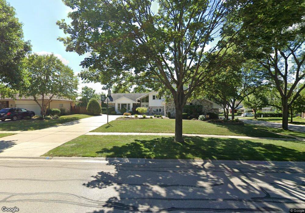
929 79th St Unit 13 Darien, IL 60561
Estimated Value: $474,000 - $644,000
5
Beds
3
Baths
1,803
Sq Ft
$303/Sq Ft
Est. Value
About This Home
This home is located at 929 79th St Unit 13, Darien, IL 60561 and is currently estimated at $546,180, approximately $302 per square foot. 929 79th St Unit 13 is a home located in DuPage County with nearby schools including Mark Delay School, Lace Elementary School, and Eisenhower Jr High School.
Ownership History
Date
Name
Owned For
Owner Type
Purchase Details
Closed on
Oct 15, 2008
Sold by
Pelling Patrick J and Pelling Susan E
Bought by
Pelling Patrick J and Pelling Susan E
Current Estimated Value
Purchase Details
Closed on
Feb 9, 1998
Sold by
The Chicago Trust Company
Bought by
Pelling Patrick J and Pelling Susan E
Home Financials for this Owner
Home Financials are based on the most recent Mortgage that was taken out on this home.
Original Mortgage
$204,000
Interest Rate
6.99%
Create a Home Valuation Report for This Property
The Home Valuation Report is an in-depth analysis detailing your home's value as well as a comparison with similar homes in the area
Home Values in the Area
Average Home Value in this Area
Purchase History
| Date | Buyer | Sale Price | Title Company |
|---|---|---|---|
| Pelling Patrick J | -- | None Available | |
| Pelling Patrick J | $255,000 | -- |
Source: Public Records
Mortgage History
| Date | Status | Borrower | Loan Amount |
|---|---|---|---|
| Closed | Pelling Patrick J | $204,000 |
Source: Public Records
Tax History
| Year | Tax Paid | Tax Assessment Tax Assessment Total Assessment is a certain percentage of the fair market value that is determined by local assessors to be the total taxable value of land and additions on the property. | Land | Improvement |
|---|---|---|---|---|
| 2024 | $9,144 | $157,916 | $63,245 | $94,671 |
| 2023 | $8,766 | $145,170 | $58,140 | $87,030 |
| 2022 | $8,681 | $140,670 | $56,930 | $83,740 |
| 2021 | $8,673 | $139,070 | $56,280 | $82,790 |
| 2020 | $8,559 | $136,320 | $55,170 | $81,150 |
| 2019 | $8,276 | $130,800 | $52,940 | $77,860 |
| 2018 | $7,831 | $125,040 | $52,630 | $72,410 |
| 2017 | $7,756 | $120,320 | $50,640 | $69,680 |
| 2016 | $7,558 | $114,830 | $48,330 | $66,500 |
| 2015 | $7,454 | $108,030 | $45,470 | $62,560 |
| 2014 | $7,627 | $108,920 | $44,210 | $64,710 |
| 2013 | $7,374 | $108,410 | $44,000 | $64,410 |
Source: Public Records
Map
Nearby Homes
- Lot 1, 2, 3, 4 & 5 Nantucket Dr
- 7713 Brookhaven Ave
- 801 79th St Unit 310
- 709 79th St Unit 408
- 17W435 Concord Place
- 7816 Dorchester Ln
- 7800 Dorchester Ln
- 1204 Sleepy Hollow Ln
- 7525 Nantucket Dr Unit 210
- 7725 Sawyer Rd
- 7700 Apple Tree Ln
- 1052 Ripple Ridge
- 1501 Darien Lake Dr Unit A201
- 1370 Marco Ct
- 1390 Marco Ct
- 8313 Highpoint Cir Unit F
- 1447 Coventry Ct
- 8076 Capra Trail
- 7209 Grant St
- 1518 Pine View Ct
- 925 79th St
- 17w Sutton Place
- 17W564 Sutton Place
- 921 79th St
- 17W554 Sutton Place
- 933 79th St
- 17W544 Sutton Place
- 9S006 Stratford Place
- 930 79th St
- 917 79th St
- 1001 79th St
- 922 79th St
- 9S016 Stratford Place
- 934 79th St
- 17W534 Sutton Place
- 918 79th St
- 913 79th St
- 9S026 Stratford Place
- 17W565 Sutton Place
- 1005 79th St
Your Personal Tour Guide
Ask me questions while you tour the home.