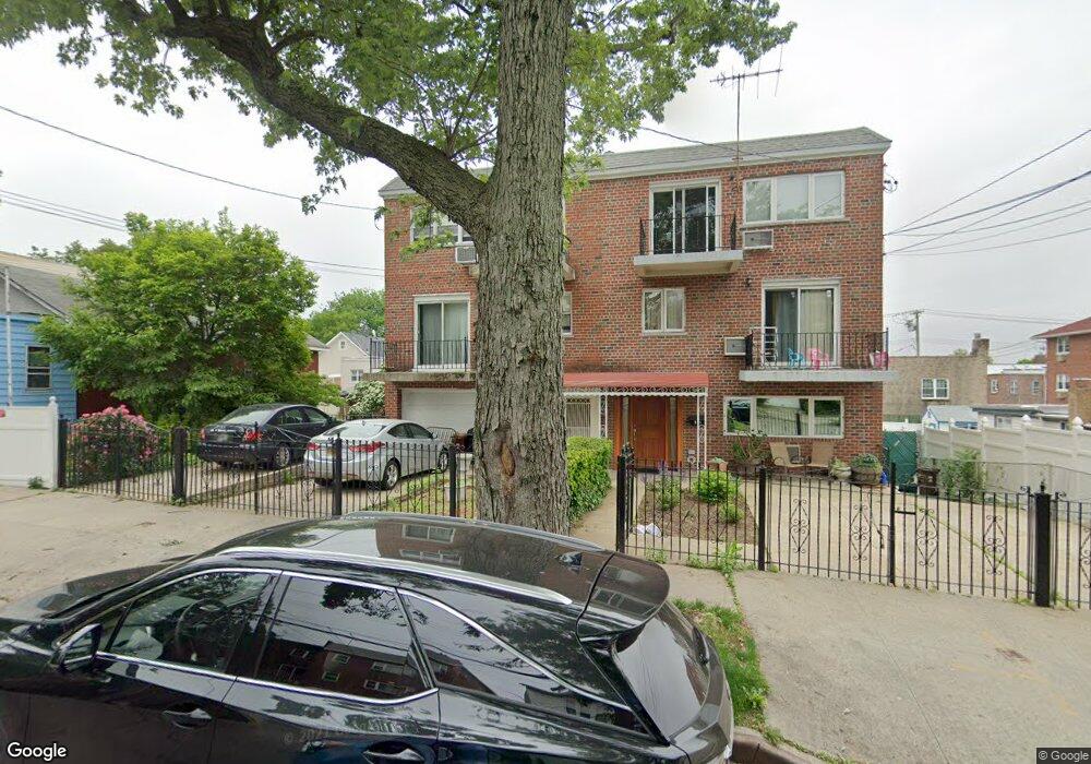
929 Calhoun Ave Bronx, NY 10465
Throgs Neck-Edgewater Park NeighborhoodEstimated Value: $843,910 - $951,000
Studio
--
Bath
2,736
Sq Ft
$324/Sq Ft
Est. Value
About This Home
This home is located at 929 Calhoun Ave, Bronx, NY 10465 and is currently estimated at $887,228, approximately $324 per square foot. 929 Calhoun Ave is a home located in Bronx County with nearby schools including P.S. 14 Senator John Calandra, Herbert H Lehman High School, and St Benedict School.
Ownership History
Date
Name
Owned For
Owner Type
Purchase Details
Closed on
Nov 22, 2021
Sold by
Ranson Donna
Bought by
Hamilton Noris and Hamilton Wayne
Current Estimated Value
Home Financials for this Owner
Home Financials are based on the most recent Mortgage that was taken out on this home.
Original Mortgage
$570,000
Outstanding Balance
$523,029
Interest Rate
3.09%
Mortgage Type
Purchase Money Mortgage
Estimated Equity
$364,199
Purchase Details
Closed on
Jan 31, 2011
Sold by
Bongermino Frank
Bought by
Ranson Donna
Create a Home Valuation Report for This Property
The Home Valuation Report is an in-depth analysis detailing your home's value as well as a comparison with similar homes in the area
Home Values in the Area
Average Home Value in this Area
Purchase History
| Date | Buyer | Sale Price | Title Company |
|---|---|---|---|
| Hamilton Noris | $760,000 | -- | |
| Ranson Donna | -- | -- |
Source: Public Records
Mortgage History
| Date | Status | Borrower | Loan Amount |
|---|---|---|---|
| Open | Hamilton Noris | $570,000 |
Source: Public Records
Tax History
| Year | Tax Paid | Tax Assessment Tax Assessment Total Assessment is a certain percentage of the fair market value that is determined by local assessors to be the total taxable value of land and additions on the property. | Land | Improvement |
|---|---|---|---|---|
| 2025 | $8,385 | $44,251 | $10,231 | $34,020 |
| 2024 | $8,385 | $41,747 | $11,501 | $30,246 |
| 2023 | $7,999 | $39,384 | $9,933 | $29,451 |
| 2022 | $7,831 | $49,500 | $12,000 | $37,500 |
| 2021 | $7,485 | $46,980 | $12,000 | $34,980 |
| 2020 | $7,510 | $47,700 | $12,000 | $35,700 |
| 2019 | $6,985 | $42,720 | $12,000 | $30,720 |
| 2018 | $6,393 | $32,820 | $12,000 | $20,820 |
| 2017 | $6,364 | $32,690 | $11,531 | $21,159 |
| 2016 | $5,855 | $30,840 | $12,000 | $18,840 |
| 2015 | -- | $33,336 | $13,006 | $20,330 |
| 2014 | -- | $33,336 | $13,006 | $20,330 |
Source: Public Records
Map
Nearby Homes
- 941 Revere Ave
- 1039 Calhoun Ave
- 945 Swinton Ave
- 836 Revere Ave
- 1052 Brinsmade Ave
- 815 Quincy Ave
- 815 Swinton Ave
- - Ave
- 1049 Huntington Ave
- 924 Hollywood Ave
- 755 Quincy Ave
- 750 Swinton Ave
- 820 Hollywood Ave
- 822 Hollywood Ave
- 2902 Baisley Ave
- 755 Logan Ave
- 710 Revere Ave
- 2932 Baisley Ave
- 725 Logan Ave
- 730 Logan Ave
- 931 Calhoun Ave
- 931 Calhoun Ave Unit 1
- 925 Calhoun Ave
- 933 Calhoun Ave
- 923 Calhoun Ave
- 928 Quincy Ave
- 932 Quincy Ave
- 926 Quincy Ave
- 924 Quincy Ave
- 938 Quincy Ave
- 922 Quincy Ave
- 2838 Barkley Ave
- 2834 Barkley Ave
- 947 Calhoun Ave
- 920 Quincy Ave
- 2830 Barkley Ave
- 915 Calhoun Ave
- 930 Calhoun Ave
- 932 Calhoun Ave
- 928 Calhoun Ave
Your Personal Tour Guide
Ask me questions while you tour the home.