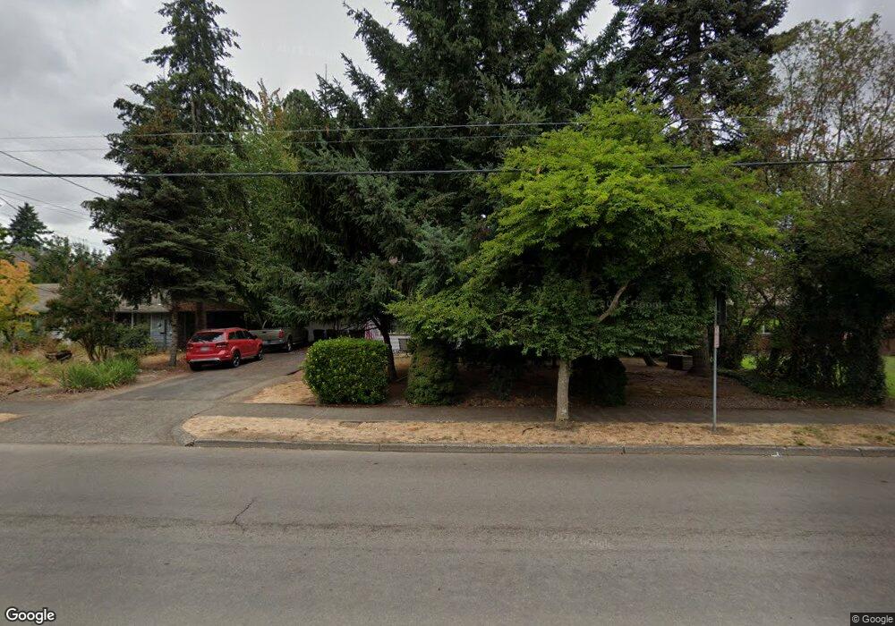
929 E Main St Hillsboro, OR 97123
Central Hillsboro NeighborhoodEstimated Value: $394,000 - $521,000
4
Beds
1
Bath
2,070
Sq Ft
$233/Sq Ft
Est. Value
About This Home
This home is located at 929 E Main St, Hillsboro, OR 97123 and is currently estimated at $482,991, approximately $233 per square foot. 929 E Main St is a home located in Washington County with nearby schools including Lincoln Street Elementary School, Evergreen Jr High School, and Glencoe High School.
Ownership History
Date
Name
Owned For
Owner Type
Purchase Details
Closed on
Jul 3, 2003
Sold by
Ward Paul Martin and Ward Linda Marie
Bought by
Tucker Steven and Tucker Michele
Current Estimated Value
Home Financials for this Owner
Home Financials are based on the most recent Mortgage that was taken out on this home.
Original Mortgage
$150,350
Outstanding Balance
$76,824
Interest Rate
7.99%
Mortgage Type
Unknown
Estimated Equity
$406,168
Create a Home Valuation Report for This Property
The Home Valuation Report is an in-depth analysis detailing your home's value as well as a comparison with similar homes in the area
Home Values in the Area
Average Home Value in this Area
Purchase History
| Date | Buyer | Sale Price | Title Company |
|---|---|---|---|
| Tucker Steven | $187,950 | Multiple |
Source: Public Records
Mortgage History
| Date | Status | Borrower | Loan Amount |
|---|---|---|---|
| Open | Tucker Steven | $150,350 | |
| Closed | Tucker Steven | $37,600 |
Source: Public Records
Tax History Compared to Growth
Tax History
| Year | Tax Paid | Tax Assessment Tax Assessment Total Assessment is a certain percentage of the fair market value that is determined by local assessors to be the total taxable value of land and additions on the property. | Land | Improvement |
|---|---|---|---|---|
| 2025 | $3,883 | $237,560 | -- | -- |
| 2024 | $3,773 | $230,650 | -- | -- |
| 2023 | $3,773 | $223,940 | $0 | $0 |
| 2022 | $3,671 | $223,940 | $0 | $0 |
| 2021 | $3,597 | $211,090 | $0 | $0 |
| 2020 | $3,519 | $204,950 | $0 | $0 |
| 2019 | $3,418 | $198,990 | $0 | $0 |
| 2018 | $3,272 | $193,200 | $0 | $0 |
| 2017 | $3,154 | $187,580 | $0 | $0 |
| 2016 | $3,067 | $182,120 | $0 | $0 |
| 2015 | $2,944 | $176,820 | $0 | $0 |
| 2014 | $2,927 | $171,670 | $0 | $0 |
Source: Public Records
Map
Nearby Homes
- 960 E Main St
- 1112 E Main St
- 1043 NE Sturgess Ave
- 1184 NE Turner Dr
- 624 NE Edison St
- 511 NE Lincoln St
- 635 SE Walnut St
- 1303 NE Cornell Rd
- 844 SE Cedar St
- 420 NE Jackson St
- 1518 SE Oak St Unit 2
- 1269 NE Grant St
- 676 SE Cedar St
- 245 NE 4th Ave
- 354 NE Jackson St
- 461 NE 16th Ave
- 674 SE 11th Ave
- 1107 SE Maple St
- 1470 SE Walnut St Unit 210
- 0 SE Cedar St
- 919 E Main St
- 951 E Main St
- 905 E Main St
- 995 NE Cornell Rd
- 134 NE 9th Ave
- 934 E Main St
- 944 E Main St
- 1001 NE Cornell Rd
- 912 E Main St
- 997 NE Cornell Rd
- 144 NE 9th Ave
- 148 SE 9th Ave
- 871 E Main St
- 143 SE 10th Ave
- 129 NE 9th Ave
- 131 NE 9th Ave
- 1005 NE Cornell Rd
- 943 SE Washington St
- 1007 NE Cornell Rd
- 156 NE 9th Ave