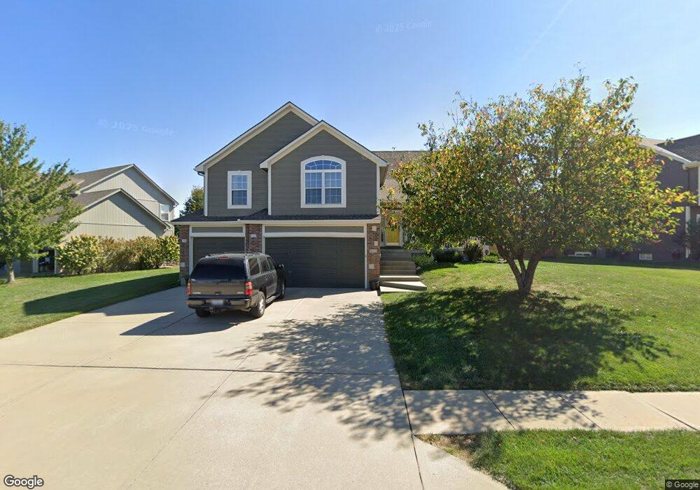
929 Hedge Apple Place Raymore, MO 64083
Estimated Value: $377,000 - $429,000
4
Beds
3
Baths
1,826
Sq Ft
$218/Sq Ft
Est. Value
About This Home
This home is located at 929 Hedge Apple Place, Raymore, MO 64083 and is currently estimated at $397,222, approximately $217 per square foot. 929 Hedge Apple Place is a home located in Cass County with nearby schools including Stonegate Elementary School, Raymore-Peculiar South Middle School, and Raymore-Peculiar Senior High School.
Ownership History
Date
Name
Owned For
Owner Type
Purchase Details
Closed on
May 12, 2010
Sold by
Fowler Craig E and Fowler Stacy L
Bought by
Foster Timothy J and Foster Marilyn G
Current Estimated Value
Home Financials for this Owner
Home Financials are based on the most recent Mortgage that was taken out on this home.
Original Mortgage
$224,677
Outstanding Balance
$150,097
Interest Rate
5.14%
Mortgage Type
VA
Estimated Equity
$247,125
Purchase Details
Closed on
Apr 25, 2005
Sold by
Prestige Home Builders Inc
Bought by
Fowler Craig E and Fowler Stacy L
Home Financials for this Owner
Home Financials are based on the most recent Mortgage that was taken out on this home.
Original Mortgage
$166,400
Interest Rate
5.25%
Mortgage Type
Adjustable Rate Mortgage/ARM
Create a Home Valuation Report for This Property
The Home Valuation Report is an in-depth analysis detailing your home's value as well as a comparison with similar homes in the area
Home Values in the Area
Average Home Value in this Area
Purchase History
| Date | Buyer | Sale Price | Title Company |
|---|---|---|---|
| Foster Timothy J | -- | -- | |
| Fowler Craig E | -- | -- |
Source: Public Records
Mortgage History
| Date | Status | Borrower | Loan Amount |
|---|---|---|---|
| Open | Foster Timothy J | $224,677 | |
| Previous Owner | Fowler Craig E | $166,400 |
Source: Public Records
Tax History Compared to Growth
Tax History
| Year | Tax Paid | Tax Assessment Tax Assessment Total Assessment is a certain percentage of the fair market value that is determined by local assessors to be the total taxable value of land and additions on the property. | Land | Improvement |
|---|---|---|---|---|
| 2025 | $3,828 | $47,650 | $8,750 | $38,900 |
| 2024 | $3,828 | $42,190 | $7,960 | $34,230 |
| 2023 | $3,824 | $42,190 | $7,960 | $34,230 |
| 2022 | $3,480 | $37,710 | $7,960 | $29,750 |
| 2021 | $3,371 | $37,710 | $7,960 | $29,750 |
| 2020 | $3,368 | $37,010 | $7,960 | $29,050 |
| 2019 | $3,261 | $37,010 | $7,960 | $29,050 |
| 2018 | $3,020 | $32,840 | $6,630 | $26,210 |
| 2017 | $2,749 | $32,840 | $6,630 | $26,210 |
| 2016 | $2,749 | $31,020 | $6,630 | $24,390 |
| 2015 | $2,750 | $31,020 | $6,630 | $24,390 |
| 2014 | $2,751 | $31,020 | $6,630 | $24,390 |
| 2013 | -- | $31,020 | $6,630 | $24,390 |
Source: Public Records
Map
Nearby Homes
- 1509 Saddlebrook Rd
- 1228 Larkspur Place
- 1301 Larkspur Place
- 1519 Colt Cir
- 1312 Verbena Place
- 1222 Larkspur Place
- 1220 Larkspur Place
- 1225 Larkspur Place
- 1112 Carlisle Dr
- 816 Blue Grama Ct
- 1511 Fox Run Ln
- 1515 Fox Run Ln
- 1508 Bridlewood Ln
- 610 Roanke Dr
- 808 Clancy Ct
- 603 Old Paint Rd
- 1108 Yokley Dr
- 901 W Lucy Webb Rd
- 411 Eagle Glen Dr
- 18867 Sunrise Dr
- 931 Hedge Apple Place
- 927 Hedge Apple Place
- 934 Elder Ct
- 933 Hedge Apple Place
- 932 Elder Ct
- 930 Hedge Apple Place
- 932 Hedge Apple Place
- 925 Hedge Apple Place
- 938 Elder Ct
- 922 Hedge Apple Place
- 934 Hedge Apple Place
- 924 Hedge Apple Place
- 923 Hedge Apple Place
- 933 Elder Ct
- 926 Hedge Apple Place
- 920 Hedge Apple Place
- 929 Old Mill Ct
- 937 Elder Ct
- 1518 Haystack Rd
- 1513 Haystack Rd