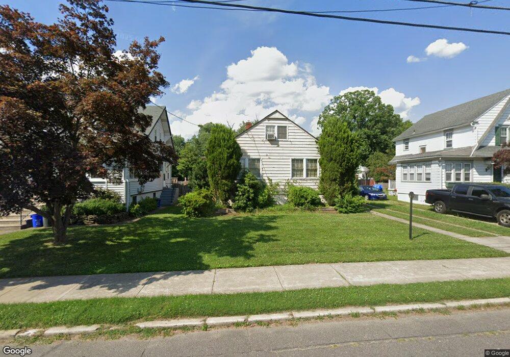
929 Linwood Ave Collingswood, NJ 08108
Estimated Value: $442,306 - $519,000
--
Bed
--
Bath
1,469
Sq Ft
$336/Sq Ft
Est. Value
About This Home
This home is located at 929 Linwood Ave, Collingswood, NJ 08108 and is currently estimated at $494,077, approximately $336 per square foot. 929 Linwood Ave is a home located in Camden County with nearby schools including Zane North Elementary School, Collingswood Middle School, and Collingswood High School.
Ownership History
Date
Name
Owned For
Owner Type
Purchase Details
Closed on
Aug 30, 2002
Sold by
Fenton James P
Bought by
Fenton Kathleen
Current Estimated Value
Home Financials for this Owner
Home Financials are based on the most recent Mortgage that was taken out on this home.
Original Mortgage
$109,200
Outstanding Balance
$45,650
Interest Rate
6.25%
Estimated Equity
$448,427
Create a Home Valuation Report for This Property
The Home Valuation Report is an in-depth analysis detailing your home's value as well as a comparison with similar homes in the area
Home Values in the Area
Average Home Value in this Area
Purchase History
| Date | Buyer | Sale Price | Title Company |
|---|---|---|---|
| Fenton Kathleen | $140,000 | -- |
Source: Public Records
Mortgage History
| Date | Status | Borrower | Loan Amount |
|---|---|---|---|
| Open | Fenton Kathleen | $109,200 |
Source: Public Records
Tax History Compared to Growth
Tax History
| Year | Tax Paid | Tax Assessment Tax Assessment Total Assessment is a certain percentage of the fair market value that is determined by local assessors to be the total taxable value of land and additions on the property. | Land | Improvement |
|---|---|---|---|---|
| 2025 | $10,241 | $526,800 | $210,100 | $316,700 |
| 2024 | $10,090 | $264,000 | $99,900 | $164,100 |
| 2023 | $10,090 | $264,000 | $99,900 | $164,100 |
| 2022 | $9,839 | $264,000 | $99,900 | $164,100 |
| 2021 | $9,287 | $264,000 | $99,900 | $164,100 |
| 2020 | $9,467 | $264,000 | $99,900 | $164,100 |
| 2019 | $9,261 | $264,000 | $99,900 | $164,100 |
| 2018 | $9,171 | $264,000 | $99,900 | $164,100 |
| 2017 | $9,050 | $264,000 | $99,900 | $164,100 |
| 2016 | $8,815 | $264,000 | $99,900 | $164,100 |
| 2015 | $8,554 | $264,000 | $99,900 | $164,100 |
| 2014 | $8,316 | $264,000 | $99,900 | $164,100 |
Source: Public Records
Map
Nearby Homes
- 940 Linwood Ave
- 928 Linwood Ave
- 820 Stokes Ave
- 111 Cooper Ave
- 108 Conard Ave
- 1108 Stokes Ave
- 4 W Homestead Ave
- 994 Haddon Ave
- 869 Haddon Ave
- 108 Dayton Ave
- 17 Lindisfarne Ave
- 268 Buckner Ave
- 109 Frazer Ave
- 506 Oaklawn Ave
- 30 Lincoln Ave
- 1 Lakeshore Dr
- 600 N Atlantic Ave Unit 304
- 75 E Collings Ave
- 740 S Atlantic Ave
- 608 S Atlantic Ave
- 927 Linwood Ave
- 931 Linwood Ave
- 925 Linwood Ave
- 933 Linwood Ave
- 923 Linwood Ave
- 935 Linwood Ave
- 922 Stokes Ave
- 920 Stokes Ave
- 924 Stokes Ave
- 918 Stokes Ave
- 921 Linwood Ave
- 938 Linwood Ave
- 916 Stokes Ave
- 942 Linwood Ave
- 930 Stokes Ave
- 926 Stokes Ave
- 914 Stokes Ave
- 917 Linwood Ave
- 960 Linwood Ave
- 1001 Linwood Ave