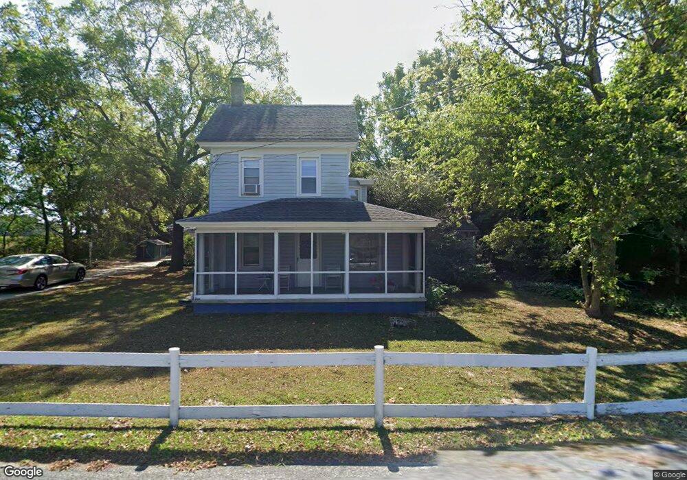
929 Shunpike Rd Unit 31 Cape May, NJ 08204
Estimated Value: $550,859 - $965,000
--
Bed
--
Bath
2,044
Sq Ft
$375/Sq Ft
Est. Value
About This Home
This home is located at 929 Shunpike Rd Unit 31, Cape May, NJ 08204 and is currently estimated at $766,465, approximately $374 per square foot. 929 Shunpike Rd Unit 31 is a home located in Cape May County with nearby schools including Carl T. Mitnick School, David C. Douglass Veterans Memorial School, and Maud Abrams School.
Ownership History
Date
Name
Owned For
Owner Type
Purchase Details
Closed on
Dec 7, 2009
Sold by
Garrigan James J
Bought by
Finnerty John F and Finnerty Pamela A
Current Estimated Value
Purchase Details
Closed on
Jun 22, 2007
Sold by
Garrigan James J and Revocable Trust Of James J Gar
Bought by
Garrigan James J
Purchase Details
Closed on
Oct 8, 1992
Sold by
Garrigan Jr James J and Garrigan Nellie H
Bought by
Garrigan James and Garrigan Nellie H
Create a Home Valuation Report for This Property
The Home Valuation Report is an in-depth analysis detailing your home's value as well as a comparison with similar homes in the area
Home Values in the Area
Average Home Value in this Area
Purchase History
| Date | Buyer | Sale Price | Title Company |
|---|---|---|---|
| Finnerty John F | $260,000 | The Title Company Of Jersey | |
| Garrigan James J | -- | None Available | |
| Garrigan James | -- | -- |
Source: Public Records
Tax History Compared to Growth
Tax History
| Year | Tax Paid | Tax Assessment Tax Assessment Total Assessment is a certain percentage of the fair market value that is determined by local assessors to be the total taxable value of land and additions on the property. | Land | Improvement |
|---|---|---|---|---|
| 2025 | $4,954 | $244,300 | $152,200 | $92,100 |
| 2024 | $4,954 | $244,300 | $152,200 | $92,100 |
| 2023 | $4,884 | $244,300 | $152,200 | $92,100 |
| 2022 | $4,735 | $244,300 | $152,200 | $92,100 |
| 2021 | $4,593 | $244,300 | $152,200 | $92,100 |
| 2020 | $4,520 | $244,300 | $152,200 | $92,100 |
| 2019 | $4,407 | $244,300 | $152,200 | $92,100 |
| 2018 | $4,302 | $244,300 | $152,200 | $92,100 |
| 2017 | $4,307 | $244,300 | $152,200 | $92,100 |
| 2016 | $4,241 | $244,300 | $152,200 | $92,100 |
| 2015 | $4,104 | $244,300 | $152,200 | $92,100 |
| 2014 | $3,970 | $244,300 | $152,200 | $92,100 |
Source: Public Records
Map
Nearby Homes
- 3941 Bayshore Rd
- 3911 Bayshore Rd
- 1024 Shunpike Rd
- 818 Shunpike Rd
- 808 Westfield Ave
- 668 Crawford Rd
- 712 Gorham Ave
- 1031 Seashore Rd
- 313 Nantucket Dr
- 753 Route 9 Unit U
- 1036 Seashore Rd
- 602 Gorham Ave
- 54 Heron Way
- 207 Old Mill Dr
- 118 Old Mill Dr
- 402 Whildam Ave
- 424 Portsmouth Rd
- 305 Whildam Ave
- 105 Orchard Dr
- 1062 Seashore Rd
- 912 Shunpike Rd
- 930 Shunpike Rd
- 933 Shunpike Rd
- 932 Shunpike Rd
- 629 Jonathan Hoffman Rd
- 703 Jonathan Hoffman Rd
- 707 Jonathan Hoffman Rd
- 705 Jonathan Hoffman Rd
- 633 Jonathan Hoffman Rd
- 713 Jonathan Hoffman Rd
- 928 Shunpike Rd
- 914 Shunpike Rd
- 709 Jonathan Hoffman Rd Unit 711
- 631 Jonathan Hoffman Rd
- 627 Jonathan Hoffman Rd
- 702 Jonathan Hoffman Rd
- 937 Shunpike Rd
- 704 Jonathan Hoffman Rd
- 708 Jonathan Hoffman Rd
- 632 Jonathan Hoffman Rd