929 Sky Harbour Trace Andrews, NC 28901
Estimated Value: $399,000 - $560,000
3
Beds
3
Baths
2,063
Sq Ft
$215/Sq Ft
Est. Value
About This Home
This home is located at 929 Sky Harbour Trace, Andrews, NC 28901 and is currently estimated at $443,585, approximately $215 per square foot. 929 Sky Harbour Trace is a home with nearby schools including Andrews Elementary School, Andrews Middle School, and Andrews High School.
Ownership History
Date
Name
Owned For
Owner Type
Purchase Details
Closed on
Feb 25, 2019
Sold by
Johnson Charles R and Johnson Nancy Pinto
Bought by
Selva John G La and Selva Linda F La
Current Estimated Value
Purchase Details
Closed on
Jan 17, 2012
Sold by
Johnson Nancy Pinto and Pinto Nancy Higgins
Bought by
Johnson Charles R and Johnson Nancy Pinto
Purchase Details
Closed on
Feb 23, 2005
Sold by
Fronrath Janet L
Bought by
Johnson Nancy Pinto and Pinto Nancy Higgins
Create a Home Valuation Report for This Property
The Home Valuation Report is an in-depth analysis detailing your home's value as well as a comparison with similar homes in the area
Home Values in the Area
Average Home Value in this Area
Purchase History
| Date | Buyer | Sale Price | Title Company |
|---|---|---|---|
| Selva John G La | -- | None Available | |
| Johnson Charles R | -- | None Available | |
| Johnson Nancy Pinto | $235,000 | -- |
Source: Public Records
Tax History Compared to Growth
Tax History
| Year | Tax Paid | Tax Assessment Tax Assessment Total Assessment is a certain percentage of the fair market value that is determined by local assessors to be the total taxable value of land and additions on the property. | Land | Improvement |
|---|---|---|---|---|
| 2025 | $1,657 | $236,810 | $0 | $0 |
| 2024 | -- | $236,810 | $0 | $0 |
| 2023 | -- | $236,810 | $0 | $0 |
| 2022 | $0 | $236,810 | $0 | $0 |
| 2021 | $0 | $236,810 | $40,000 | $196,810 |
| 2020 | $947 | $236,810 | $0 | $0 |
| 2019 | $1,390 | $227,070 | $0 | $0 |
| 2018 | $1,129 | $227,070 | $0 | $0 |
| 2017 | $0 | $227,070 | $0 | $0 |
| 2016 | $947 | $227,070 | $0 | $0 |
| 2015 | $941 | $194,650 | $65,700 | $128,950 |
| 2012 | -- | $194,650 | $65,700 | $128,950 |
Source: Public Records
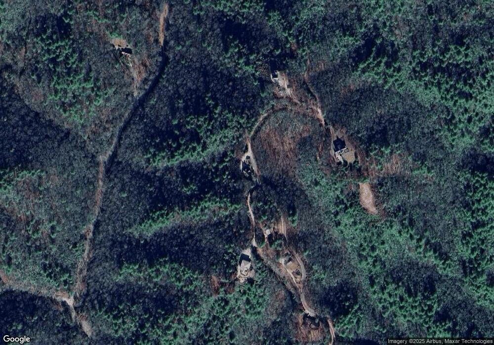
Map
Nearby Homes
- 6075 Airport Rd
- 6387 Airport Rd
- 760 Pinedale Ln
- 283 Pinedale Ln
- 150 Cheyenne Ln
- Lot 2 Morris Creek Rd
- 501 Cliff Top Trail
- 000 Holland Farm Rd
- 85 Cope Rd
- 1974 Beaver Creek Rd
- 230 Pisgah Rd Unit 430
- 110 Fisher St
- 820 Beaver Creek Rd
- 1034 Beaver Creek Rd
- 53 Teas St
- 0 Stecoah Ave
- 00 Rd
- 45 Caboose Creek Ln
- 1520 Bob Branch Rd
- TBD Colvard Ave
- 903 Sky Harbour Trace
- 907 Sky Harbour Trace
- 745 Sky Harbour Trace
- 1059 Sky Harbour Trace
- 1088 Sky Harbour Trace
- 1065 Sky Harbour Trace
- 709 Sky Harbour Trace
- 259 Cross Creek Rd
- 259 Cross Creek Cove Rd
- 0 Sky Harbour Trace
- 10.6 Ac Cross Creek Rd
- 431 Cross Creek Rd
- 3.10 Ac Cross Creek Rd
- 431 Cross Creek Cove Rd
- 576 Sky Harbour Trace
- 464 Cross Creek Rd
- 139 Cross Creek Cove Rd
- 45 Morris Creek Rd
- 558 Sky Harbour Trace
- 305 Sky Harbour Trace