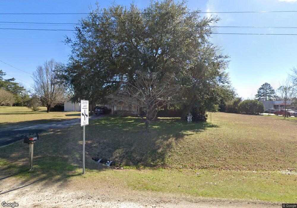
929 Us Highway 80 E East Dublin, GA 31027
Estimated Value: $129,201 - $173,000
--
Bed
2
Baths
1,344
Sq Ft
$114/Sq Ft
Est. Value
About This Home
This home is located at 929 Us Highway 80 E, East Dublin, GA 31027 and is currently estimated at $153,550, approximately $114 per square foot. 929 Us Highway 80 E is a home located in Laurens County with nearby schools including Northwest Laurens Elementary School, Southwest Laurens Elementary School, and East Laurens Primary School.
Ownership History
Date
Name
Owned For
Owner Type
Purchase Details
Closed on
Sep 9, 2024
Sold by
Cordry Robert
Bought by
Bateman Chandler and Bateman Chandler H
Current Estimated Value
Home Financials for this Owner
Home Financials are based on the most recent Mortgage that was taken out on this home.
Original Mortgage
$146,464
Outstanding Balance
$144,818
Interest Rate
6.47%
Mortgage Type
New Conventional
Estimated Equity
$8,732
Purchase Details
Closed on
Feb 28, 1986
Bought by
Cordry Robert
Create a Home Valuation Report for This Property
The Home Valuation Report is an in-depth analysis detailing your home's value as well as a comparison with similar homes in the area
Home Values in the Area
Average Home Value in this Area
Purchase History
| Date | Buyer | Sale Price | Title Company |
|---|---|---|---|
| Bateman Chandler | $145,000 | -- | |
| Cordry Robert | -- | -- |
Source: Public Records
Mortgage History
| Date | Status | Borrower | Loan Amount |
|---|---|---|---|
| Open | Bateman Chandler | $146,464 |
Source: Public Records
Tax History Compared to Growth
Tax History
| Year | Tax Paid | Tax Assessment Tax Assessment Total Assessment is a certain percentage of the fair market value that is determined by local assessors to be the total taxable value of land and additions on the property. | Land | Improvement |
|---|---|---|---|---|
| 2024 | $624 | $29,643 | $2,174 | $27,469 |
| 2023 | $427 | $28,185 | $2,174 | $26,011 |
| 2022 | $475 | $28,122 | $2,111 | $26,011 |
| 2021 | $480 | $27,774 | $2,640 | $25,134 |
| 2020 | $481 | $27,774 | $2,640 | $25,134 |
| 2019 | $481 | $27,774 | $2,640 | $25,134 |
| 2018 | $482 | $27,774 | $2,640 | $25,134 |
| 2017 | $481 | $27,774 | $2,640 | $25,134 |
| 2016 | $482 | $27,774 | $2,640 | $25,134 |
| 2015 | $481 | $27,774 | $2,640 | $25,134 |
| 2014 | $399 | $23,911 | $2,400 | $21,511 |
Source: Public Records
Map
Nearby Homes
- 132 Shaddock Creek Cir
- 445 Saint Charles Dr
- 134 Long Pines Cir
- 104 Long Pines Cir
- LOT 4 Wind Song Dr
- 335 Windsong Dr
- 532 Ned Collins Rd
- 330 Bradley Ct
- 315 Bradley Ct
- 844 Windward Way
- 461 Mccord Rd
- 437 Mccord Rd
- 0 Hillcrest Dr Unit 22383
- 103 Forest Ave
- 520 Kenneth Hilburn Cir
- 00 Gateway Dr
- 0 Mamie Graham Rd Unit 257372
- 0 Mamie Graham Rd Unit 10647192
- 0 Mamie Graham Rd Unit 30544
- 0 Ralph Keen Rd Unit 21905127
- 929 U S 80
- 935 Us Highway 80 E
- 120 Dewey Warnock Rd
- 939 Us Highway 80 E
- 113 Dewey Warnock Rd
- 209 Dewey Warnock Rd
- 125 Dewey Warnock Rd
- 129 Dewey Warnock Rd
- 118 Shaddock Creek Cir
- 126 Shaddock Creek Cir
- 232 Falcon Dr
- 965 Us Highway 80 E
- 899 Us Highway 80 E
- 137 Dewey Warnock Rd
- 139 Dewey Warnock Rd
- 967 Us Highway 80 E
- 150 Dewey Warnock Rd
- 971 Us Highway 80 E
- 160 Dewey Warnock Rd
- 209 Falcon Dr