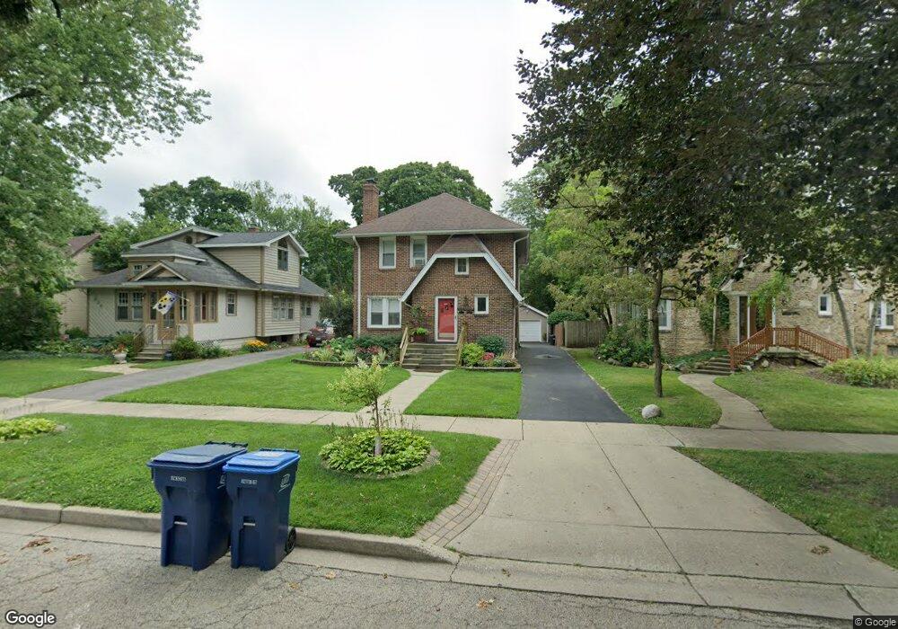
929 W Atlantic Ave Waukegan, IL 60085
Estimated Value: $275,000 - $310,000
6
Beds
2
Baths
2,437
Sq Ft
$120/Sq Ft
Est. Value
About This Home
This home is located at 929 W Atlantic Ave, Waukegan, IL 60085 and is currently estimated at $292,054, approximately $119 per square foot. 929 W Atlantic Ave is a home located in Lake County with nearby schools including Glen Flora Elementary School, Edith M Smith Middle School, and Waukegan High School.
Ownership History
Date
Name
Owned For
Owner Type
Purchase Details
Closed on
Apr 10, 2017
Sold by
Melgoza Francisco
Bought by
Trejo Ma De Jesus Vargas
Current Estimated Value
Purchase Details
Closed on
Aug 20, 1999
Sold by
Willoughby Burton C and Willoughby Berton C
Bought by
Melgoza Francisco
Home Financials for this Owner
Home Financials are based on the most recent Mortgage that was taken out on this home.
Original Mortgage
$130,800
Interest Rate
7.93%
Mortgage Type
Commercial
Create a Home Valuation Report for This Property
The Home Valuation Report is an in-depth analysis detailing your home's value as well as a comparison with similar homes in the area
Home Values in the Area
Average Home Value in this Area
Purchase History
| Date | Buyer | Sale Price | Title Company |
|---|---|---|---|
| Trejo Ma De Jesus Vargas | -- | Attorney | |
| Melgoza Francisco | $145,500 | -- |
Source: Public Records
Mortgage History
| Date | Status | Borrower | Loan Amount |
|---|---|---|---|
| Previous Owner | Melgoza Francisco | $130,800 |
Source: Public Records
Tax History Compared to Growth
Tax History
| Year | Tax Paid | Tax Assessment Tax Assessment Total Assessment is a certain percentage of the fair market value that is determined by local assessors to be the total taxable value of land and additions on the property. | Land | Improvement |
|---|---|---|---|---|
| 2024 | $6,751 | $79,384 | $11,218 | $68,166 |
| 2023 | $6,908 | $71,593 | $10,117 | $61,476 |
| 2022 | $6,908 | $70,664 | $11,931 | $58,733 |
| 2021 | $7,485 | $71,796 | $10,642 | $61,154 |
| 2020 | $7,582 | $66,886 | $9,914 | $56,972 |
| 2019 | $7,631 | $61,291 | $9,085 | $52,206 |
| 2018 | $6,872 | $53,152 | $12,859 | $40,293 |
| 2017 | $6,689 | $47,025 | $11,377 | $35,648 |
| 2016 | $6,315 | $40,863 | $9,886 | $30,977 |
| 2015 | $6,178 | $36,573 | $8,848 | $27,725 |
| 2014 | $5,297 | $31,308 | $5,342 | $25,966 |
| 2012 | $6,564 | $33,919 | $5,787 | $28,132 |
Source: Public Records
Map
Nearby Homes
- 1018 W Atlantic Ave
- 616 W Keith Ave
- 1335 Chestnut St
- 1336 N Ash St
- 1312 N Linden Ave
- 1905 Linden Ave
- 1105 Woodlawn Cir
- 1504 W Glen Flora Ave
- 1110 N Ash St
- 1117 Judge Ave
- 1000 Pine St
- 917 N Linden Ave
- 918 N Ash St
- 1109 Massena Ave
- 1038 Indiana Ave
- 415 W Ridgeland Ave
- 2232 Walnut St
- 1023 N Elmwood Ave
- 2008 Harding Ave
- 2009 Harding Ave
- 925 W Atlantic Ave
- 933 W Atlantic Ave
- 921 W Atlantic Ave
- 1005 W Atlantic Ave
- 917 W Atlantic Ave
- 1009 W Atlantic Ave
- 913 W Atlantic Ave
- 1013 W Atlantic Ave
- 1017 W Atlantic Ave
- 930 W Pacific Ave
- 926 W Pacific Ave
- 1002 W Pacific Ave
- 922 W Pacific Ave
- 1600 Walnut St
- 1006 W Pacific Ave
- 1000 W Atlantic Ave
- 1603 Walnut St
- 918 W Pacific Ave
- 1010 W Pacific Ave
- 1021 W Atlantic Ave