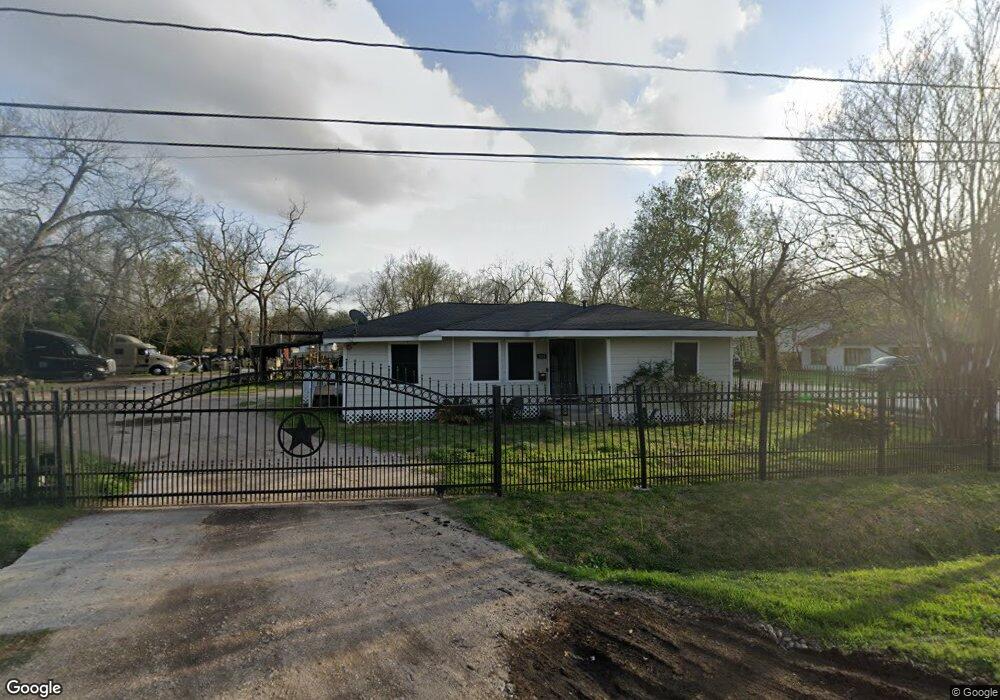
929 Wall St Houston, TX 77088
Acres Homes NeighborhoodEstimated Value: $177,073 - $214,000
3
Beds
2
Baths
1,299
Sq Ft
$152/Sq Ft
Est. Value
About This Home
This home is located at 929 Wall St, Houston, TX 77088 and is currently estimated at $197,268, approximately $151 per square foot. 929 Wall St is a home located in Harris County with nearby schools including Wesley Elementary School, Williams Middle, and Booker T Washington Sr High.
Ownership History
Date
Name
Owned For
Owner Type
Purchase Details
Closed on
Jul 8, 2004
Sold by
Woods Harry and Carter Ernest
Bought by
Arrington Ronald and Arrington Lasandra
Current Estimated Value
Home Financials for this Owner
Home Financials are based on the most recent Mortgage that was taken out on this home.
Original Mortgage
$33,725
Interest Rate
6.26%
Mortgage Type
Purchase Money Mortgage
Purchase Details
Closed on
May 8, 1998
Sold by
Lovett Operating Ltd
Bought by
Devonshire Park Ltd
Create a Home Valuation Report for This Property
The Home Valuation Report is an in-depth analysis detailing your home's value as well as a comparison with similar homes in the area
Home Values in the Area
Average Home Value in this Area
Purchase History
| Date | Buyer | Sale Price | Title Company |
|---|---|---|---|
| Arrington Ronald | -- | Stewart Title Houston Div | |
| Devonshire Park Ltd | -- | Charter Title Company |
Source: Public Records
Mortgage History
| Date | Status | Borrower | Loan Amount |
|---|---|---|---|
| Closed | Arrington Ronald | $33,725 |
Source: Public Records
Tax History Compared to Growth
Tax History
| Year | Tax Paid | Tax Assessment Tax Assessment Total Assessment is a certain percentage of the fair market value that is determined by local assessors to be the total taxable value of land and additions on the property. | Land | Improvement |
|---|---|---|---|---|
| 2025 | $2,195 | $104,395 | $55,500 | $48,895 |
| 2024 | $2,195 | $104,900 | $55,500 | $49,400 |
| 2023 | $2,195 | $128,790 | $74,925 | $53,865 |
| 2022 | $2,191 | $99,483 | $56,700 | $42,783 |
| 2021 | $1,844 | $79,112 | $34,425 | $44,687 |
| 2020 | $1,806 | $74,570 | $30,375 | $44,195 |
| 2019 | $1,356 | $53,584 | $10,530 | $43,054 |
| 2018 | $1,293 | $51,114 | $10,530 | $40,584 |
| 2017 | $1,240 | $49,026 | $8,100 | $40,926 |
| 2016 | $1,240 | $49,026 | $8,100 | $40,926 |
| 2015 | $1,184 | $46,042 | $8,100 | $37,942 |
| 2014 | $1,184 | $46,042 | $8,100 | $37,942 |
Source: Public Records
Map
Nearby Homes
- 7513 Knox St
- 931 Lucky St
- 893 Wall St
- 7422 Mount St
- 957 Ringold St
- 922 W Little York Rd
- 955 Ringold St
- 953 Ringold St
- 924 W Little York Rd
- 959 Ringold St
- 0 St Clair Unit 40573378
- 884 Prosper St
- 882 Prosper St
- 859 Prosper St
- 845 S Victory Dr
- 861 Prosper St
- 899 W Little York Rd
- 855 Prosper St
- 853 Prosper St
- 851 Prosper St